1091 Indiana Rd Cheyenne, WY 82009
Estimated Value: $453,084 - $572,000
--
Bed
--
Bath
2,330
Sq Ft
$217/Sq Ft
Est. Value
About This Home
This home is located at 1091 Indiana Rd, Cheyenne, WY 82009 and is currently estimated at $506,028, approximately $217 per square foot. 1091 Indiana Rd is a home located in Laramie County with nearby schools including Gilchrist Elementary School, McCormick Junior High School, and Central High School.
Ownership History
Date
Name
Owned For
Owner Type
Purchase Details
Closed on
Feb 23, 2004
Sold by
Crozier Wesley E and Glover Brent O
Bought by
Crozier Wesley E
Current Estimated Value
Home Financials for this Owner
Home Financials are based on the most recent Mortgage that was taken out on this home.
Original Mortgage
$116,800
Outstanding Balance
$54,093
Interest Rate
5.65%
Mortgage Type
Stand Alone Refi Refinance Of Original Loan
Estimated Equity
$451,935
Purchase Details
Closed on
Feb 23, 1994
Sold by
Horst Paul V and Horst Leona E
Bought by
Crozier Wess E and Glover Brent O
Create a Home Valuation Report for This Property
The Home Valuation Report is an in-depth analysis detailing your home's value as well as a comparison with similar homes in the area
Home Values in the Area
Average Home Value in this Area
Purchase History
| Date | Buyer | Sale Price | Title Company |
|---|---|---|---|
| Crozier Wesley E | -- | -- | |
| Crozier Wess E | -- | -- |
Source: Public Records
Mortgage History
| Date | Status | Borrower | Loan Amount |
|---|---|---|---|
| Open | Crozier Wesley E | $116,800 |
Source: Public Records
Tax History Compared to Growth
Tax History
| Year | Tax Paid | Tax Assessment Tax Assessment Total Assessment is a certain percentage of the fair market value that is determined by local assessors to be the total taxable value of land and additions on the property. | Land | Improvement |
|---|---|---|---|---|
| 2025 | $2,191 | $25,415 | $6,543 | $18,872 |
| 2024 | $2,191 | $32,598 | $8,723 | $23,875 |
| 2023 | $2,033 | $30,937 | $8,723 | $22,214 |
| 2022 | $1,711 | $25,467 | $6,568 | $18,899 |
| 2021 | $1,458 | $21,646 | $4,335 | $17,311 |
| 2020 | $1,222 | $18,203 | $3,092 | $15,111 |
| 2019 | $1,171 | $17,425 | $2,915 | $14,510 |
| 2018 | $1,078 | $16,200 | $2,915 | $13,285 |
| 2017 | $1,042 | $15,511 | $2,572 | $12,939 |
| 2016 | $1,035 | $15,396 | $2,503 | $12,893 |
| 2015 | $1,001 | $14,884 | $2,503 | $12,381 |
| 2014 | $1,000 | $14,779 | $2,524 | $12,255 |
Source: Public Records
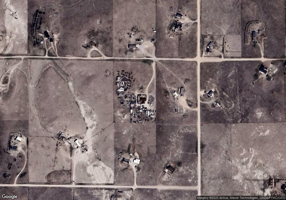
Map
Nearby Homes
- 1113 Indiana Rd
- 1100 Brundage Rd
- 985 Range Line Rd
- 0 Range Line Rd
- 1102 Dusty Rd
- Lot 99 Tennessee Rd
- Tract 234 Samoa Rd
- Tract 295 S Carolina Rd
- Tract 300 S Carolina Rd
- Lot 346 Carribean Rd
- Lot 340 Carribean Rd
- Lot 366 Carribean Rd
- Tract 291 Boundary Rd
- TBD Boundary Rd
- Tract 334 Bering Rd
- TBD Bade Rd
- 1092 Bade Rd
- 1015 Bade Rd
- 1207 Road 113
- 1483 Gilchrist Rd
- 1034 Baltic Rd
- 1090 Indiana Rd
- 1090 Saint James Rd
- 1035 Baltic Rd
- 1026 Baltic Rd
- 1082 Indiana Rd
- 1084 Saint James Rd
- 1048 Baltic Rd
- 1106 Indiana Rd
- 1020 Baltic Rd
- 1074 Indiana Rd
- 1114 Indiana Rd
- 1068 Saint James Rd
- 1067 Indiana Rd
- 1077 Road 110
- 1123 Indiana Rd
- 1066 Indiana Rd
- 1118 Saint James Rd
- 1107 Road 110
- 1069 Saint James Rd