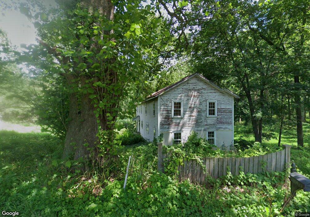
1091 Kaolin Rd Kennett Square, PA 19348
Estimated Value: $283,000 - $336,000
5
Beds
2
Baths
2,600
Sq Ft
$119/Sq Ft
Est. Value
About This Home
This home is located at 1091 Kaolin Rd, Kennett Square, PA 19348 and is currently estimated at $309,500, approximately $119 per square foot. 1091 Kaolin Rd is a home located in Chester County with nearby schools including Kennett Middle School, Kennett High School, and St. Patrick School.
Ownership History
Date
Name
Owned For
Owner Type
Purchase Details
Closed on
May 31, 2007
Sold by
Pienkos Kenneth P and Hill Gene C
Bought by
Hill Gene C
Current Estimated Value
Home Financials for this Owner
Home Financials are based on the most recent Mortgage that was taken out on this home.
Original Mortgage
$231,000
Outstanding Balance
$157,727
Interest Rate
8.45%
Mortgage Type
Commercial
Estimated Equity
$151,773
Create a Home Valuation Report for This Property
The Home Valuation Report is an in-depth analysis detailing your home's value as well as a comparison with similar homes in the area
Home Values in the Area
Average Home Value in this Area
Purchase History
| Date | Buyer | Sale Price | Title Company |
|---|---|---|---|
| Hill Gene C | $88,452 | None Available |
Source: Public Records
Mortgage History
| Date | Status | Borrower | Loan Amount |
|---|---|---|---|
| Open | Hill Gene C | $231,000 |
Source: Public Records
Tax History
| Year | Tax Paid | Tax Assessment Tax Assessment Total Assessment is a certain percentage of the fair market value that is determined by local assessors to be the total taxable value of land and additions on the property. | Land | Improvement |
|---|---|---|---|---|
| 2025 | $7,927 | $194,400 | $56,780 | $137,620 |
| 2024 | $7,927 | $194,400 | $56,780 | $137,620 |
| 2023 | $7,773 | $194,400 | $56,780 | $137,620 |
| 2022 | $7,566 | $194,400 | $56,780 | $137,620 |
| 2021 | $7,453 | $194,400 | $56,780 | $137,620 |
| 2020 | $7,313 | $194,400 | $56,780 | $137,620 |
| 2019 | $7,216 | $194,400 | $56,780 | $137,620 |
| 2018 | $7,066 | $194,400 | $56,780 | $137,620 |
| 2017 | $6,573 | $194,400 | $56,780 | $137,620 |
| 2016 | $771 | $194,400 | $56,780 | $137,620 |
| 2015 | $771 | $194,400 | $56,780 | $137,620 |
| 2014 | $771 | $194,400 | $56,780 | $137,620 |
Source: Public Records
Map
Nearby Homes
- 531 Chandler Mill Rd
- 1127 Kaolin Rd
- 118 Pleasant Bank Ln
- 408 Willowbend Ct
- 102 Knoxlyn Farm Dr
- 105 Bellfield Ct
- 104 Shinnecock Hill
- 809 Christopher Ct
- 112 Cameron Dr
- 304 Bartram Ln E
- 1261 Benjamin Dr
- 161 Candlewyck Dr
- 115 Chandler Mill Rd
- 117 Chandler Mill Rd
- 114 Chandler Mill Rd
- 509 Holly Knoll Rd
- 1075 Yorklyn Rd
- 567 Southwood Rd
- 109 Chandler Mill Rd
- 11 Yorkridge Trail
- 1092 Kaolin Rd
- 1087 Kaolin Rd
- 102 Round Hill Rd
- 106 Round Hill Rd
- 104 Round Hill Rd
- 100 Round Hill Rd
- 103 Marshall Bridge Rd
- 108 Round Hill Rd
- 105 Round Hill Rd
- 107 Round Hill Rd
- 109 Marshall Bridge Rd
- 124 Marshall Bridge Rd
- 102 Redwood Ln
- 105 Marshall Bridge Rd
- 107 Marshall Bridge Rd
- 110 Round Hill Rd
- 109 Round Hill Rd
- 0 Buck Toe Hills Rd
- 114 Marshall Bridge Rd
- 101 Round Hill Rd
Your Personal Tour Guide
Ask me questions while you tour the home.