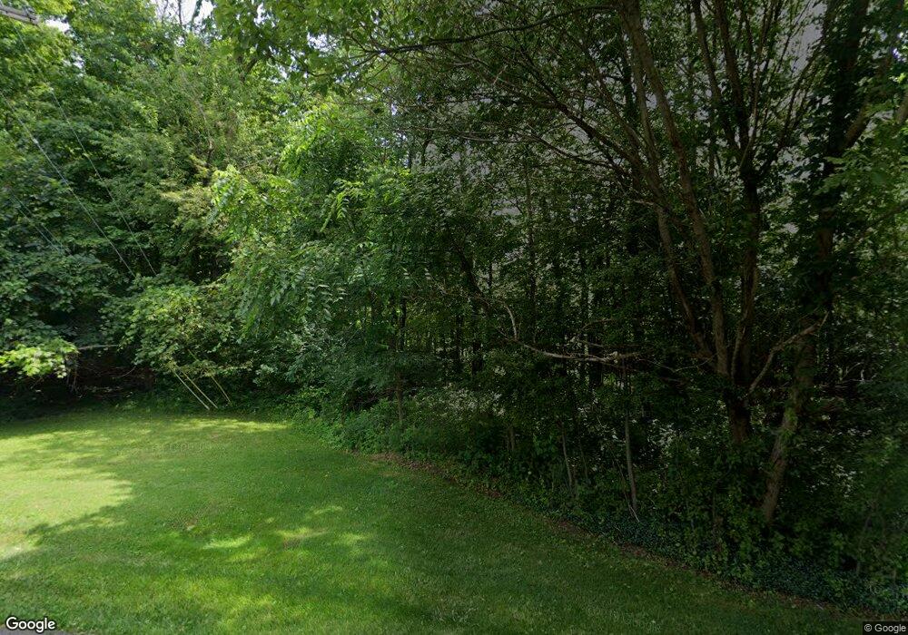
1091 Maplewood Dr Mansfield, OH 44906
Estimated Value: $300,000 - $589,189
3
Beds
3
Baths
2,384
Sq Ft
$186/Sq Ft
Est. Value
About This Home
This home is located at 1091 Maplewood Dr, Mansfield, OH 44906 and is currently estimated at $444,595, approximately $186 per square foot. 1091 Maplewood Dr is a home with nearby schools including Mansfield Christian School, Discovery School, and Mansfield Seventh-day Adventist School.
Ownership History
Date
Name
Owned For
Owner Type
Purchase Details
Closed on
Sep 24, 2020
Sold by
Aspira Inc
Bought by
Bauer Cassondra
Current Estimated Value
Purchase Details
Closed on
Oct 20, 2005
Sold by
Das Saurabh B and Dewald Donald L
Bought by
Aspira Inc
Purchase Details
Closed on
Sep 28, 2005
Sold by
Finney Farm Properties
Bought by
Das Saurabh B and Dewald Donald L
Purchase Details
Closed on
Nov 5, 1991
Bought by
Finney Farm Properties
Create a Home Valuation Report for This Property
The Home Valuation Report is an in-depth analysis detailing your home's value as well as a comparison with similar homes in the area
Home Values in the Area
Average Home Value in this Area
Purchase History
| Date | Buyer | Sale Price | Title Company |
|---|---|---|---|
| Bauer Cassondra | $58,000 | Southern Title | |
| Aspira Inc | -- | None Available | |
| Das Saurabh B | $400,000 | Chicago Title | |
| Finney Farm Properties | -- | -- |
Source: Public Records
Tax History
| Year | Tax Paid | Tax Assessment Tax Assessment Total Assessment is a certain percentage of the fair market value that is determined by local assessors to be the total taxable value of land and additions on the property. | Land | Improvement |
|---|---|---|---|---|
| 2024 | $8,388 | $175,200 | $22,140 | $153,060 |
| 2023 | $8,388 | $117,250 | $24,380 | $92,870 |
| 2022 | $1,537 | $26,900 | $26,900 | $0 |
| 2021 | $1,521 | $26,440 | $26,440 | $0 |
| 2020 | $614 | $10,430 | $10,430 | $0 |
| 2019 | $576 | $8,840 | $8,840 | $0 |
| 2018 | $569 | $8,840 | $8,840 | $0 |
| 2017 | $554 | $8,840 | $8,840 | $0 |
| 2016 | $443 | $6,860 | $6,860 | $0 |
| 2015 | $443 | $6,860 | $6,860 | $0 |
| 2014 | $418 | $6,860 | $6,860 | $0 |
| 2012 | $165 | $7,070 | $7,070 | $0 |
Source: Public Records
Map
Nearby Homes
- 755 Locust Ln
- 1326 Rosedale Dr
- 1485 Overdale Dr
- 1480 Overdale Dr
- 1476 Overdale Dr
- 1314 Bridgewater Way N
- 986 Woodland Rd
- 1490 Hess Cir
- 1560 Bridgewater Way N
- 0 Lot #23132 Hess Cir
- 0 Lot #23127 Hess Cir
- 0 Lot #23139 Hess Cir
- 0 Lot #23121 Hess Cir
- 0 Lot #23133 Hess Cir
- 1516 Bridgewater Way S Unit 1516
- 680 Weller Ave
- 1576 Bridgewater Way S
- 0 Rippling Brook Dr
- 589 Andover Rd
- 763 York St W
- 0 Maplewood Dr Unit 221992
- 0 Maplewood Dr Unit 9056360
- 0 Maplewood Dr Unit 9050113
- 0 Maplewood Dr Unit 9045155
- 1095 Springbrook Dr
- 620 Whippoorwill Ln Unit 620
- 0 Springbrook Dr
- 1145 Aspira Ct
- 1080 Springbrook Dr
- 720 Whippoorwill Ln
- 1088 Springbrook Dr
- 640 Whippoorwill Ln
- 520 Whippoorwill Ln
- 730 Whippoorwill Ln Unit 730
- 710 Whippoorwill Ln
- 510 Whippoorwill Ln
- 1100 Springbrook Dr
- 1115 Springbrook Dr
- 740 Whippoorwill Ln
- 820 Whippoorwill Ln
