Estimated Value: $345,000 - $517,000
3
Beds
3
Baths
9,192
Sq Ft
$47/Sq Ft
Est. Value
About This Home
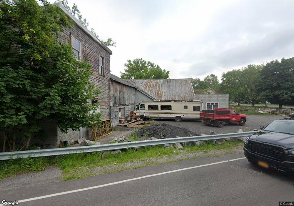
This home is located at 1091 N Blossom Rd, Elma, NY 14059 and is currently estimated at $431,545, approximately $46 per square foot. 1091 N Blossom Rd is a home located in Erie County with nearby schools including Iroquois Intermediate School, Iroquois Middle School, and Iroquois Senior High School.
Ownership History
Date
Name
Owned For
Owner Type
Purchase Details
Closed on
May 30, 2019
Sold by
Ertel Family Lp
Bought by
Ertel David A
Current Estimated Value
Purchase Details
Closed on
Dec 11, 2015
Sold by
Otto Edward M and Dirosa Gene
Bought by
Dirosa Gene R
Home Financials for this Owner
Home Financials are based on the most recent Mortgage that was taken out on this home.
Original Mortgage
$70,000
Interest Rate
3.98%
Mortgage Type
Commercial
Purchase Details
Closed on
Sep 19, 2011
Sold by
Dirosa Gene and Otto Tracey M
Bought by
Otto Edward M and Dirosa Gene
Purchase Details
Closed on
May 12, 2010
Sold by
Kilyn Michael H and Kilyn Michael Hardy
Bought by
Dirosa Gene and Otto Tracey M
Home Financials for this Owner
Home Financials are based on the most recent Mortgage that was taken out on this home.
Original Mortgage
$115,000
Interest Rate
5.11%
Mortgage Type
Seller Take Back
Purchase Details
Closed on
May 22, 1996
Create a Home Valuation Report for This Property
The Home Valuation Report is an in-depth analysis detailing your home's value as well as a comparison with similar homes in the area
Home Values in the Area
Average Home Value in this Area
Purchase History
| Date | Buyer | Sale Price | Title Company |
|---|---|---|---|
| Ertel David A | -- | None Available | |
| Dirosa Gene R | -- | None Available | |
| Otto Edward M | -- | None Available | |
| Dirosa Gene | $120,000 | None Available | |
| -- | -- | -- |
Source: Public Records
Mortgage History
| Date | Status | Borrower | Loan Amount |
|---|---|---|---|
| Previous Owner | Dirosa Gene R | $70,000 | |
| Previous Owner | Dirosa Gene | $115,000 |
Source: Public Records
Tax History Compared to Growth
Tax History
| Year | Tax Paid | Tax Assessment Tax Assessment Total Assessment is a certain percentage of the fair market value that is determined by local assessors to be the total taxable value of land and additions on the property. | Land | Improvement |
|---|---|---|---|---|
| 2024 | $4,641 | $8,200 | $1,800 | $6,400 |
| 2023 | $4,582 | $8,200 | $1,800 | $6,400 |
| 2022 | $4,563 | $8,200 | $1,800 | $6,400 |
| 2021 | $4,462 | $8,200 | $1,800 | $6,400 |
| 2020 | $7,800 | $8,200 | $1,800 | $6,400 |
| 2019 | $7,260 | $8,200 | $1,800 | $6,400 |
| 2018 | $4,348 | $8,200 | $1,800 | $6,400 |
| 2017 | $7,260 | $8,200 | $1,800 | $6,400 |
| 2016 | $7,335 | $8,200 | $1,800 | $6,400 |
| 2014 | -- | $8,200 | $1,800 | $6,400 |
Source: Public Records
Map
Nearby Homes
- 38 Hillcrest Heights
- 114 Slate Bottom Dr
- 11 Cidermill Ct
- 150 Buffalo Creek Rd
- 44 Southpoint Dr
- 57 Stream View Ln
- 130 S Transit Hill Dr
- 180 Prince Dr
- 1 Southpoint Dr
- 180 Winspear Rd
- 21 Fieldstream Ln
- 36 Fieldstream Ln
- 18 Fieldstream Ln
- 433 Borden Rd
- 132 N Prince Dr
- 4555 Clinton St
- 4830 Transit Rd
- 100 N Prince Dr
- 92 N Prince Dr
- 203 Carriage Ln