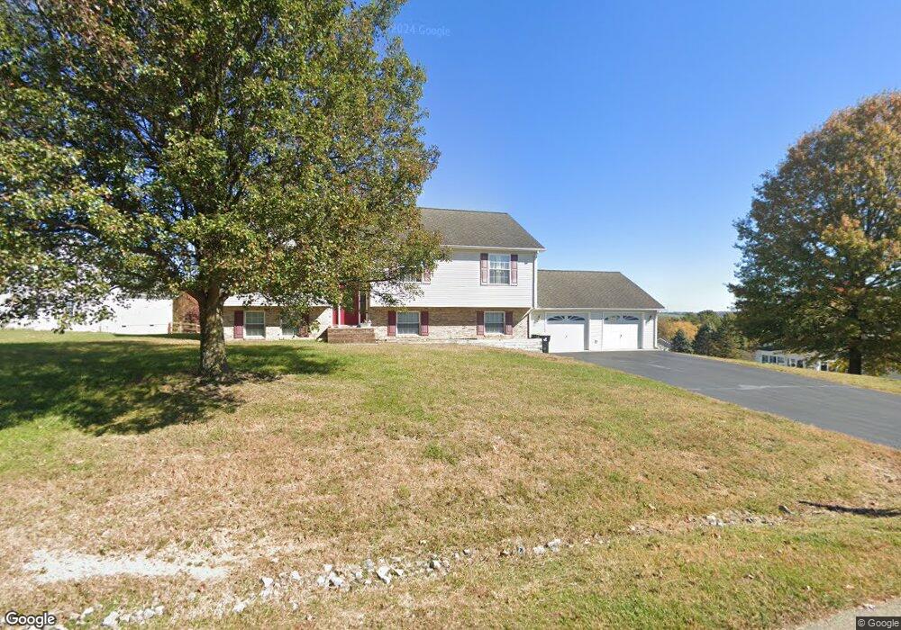
1091 Pheasant Ln Pulaski, VA 24301
Estimated Value: $287,000 - $437,000
Studio
--
Bath
--
Sq Ft
26,572
Sq Ft
About This Home
This home is located at 1091 Pheasant Ln, Pulaski, VA 24301 and is currently estimated at $349,377. 1091 Pheasant Ln is a home located in Pulaski County with nearby schools including Critzer Elementary School, Pulaski County High School, and Mayflower Christian Academy.
Ownership History
Date
Name
Owned For
Owner Type
Purchase Details
Closed on
Sep 16, 2005
Sold by
Crabtree Michael D and Crabtree Amy C
Bought by
Lambert Rodney W and Lambert Sindilee J
Current Estimated Value
Home Financials for this Owner
Home Financials are based on the most recent Mortgage that was taken out on this home.
Original Mortgage
$176,000
Outstanding Balance
$94,279
Interest Rate
5.87%
Mortgage Type
Adjustable Rate Mortgage/ARM
Estimated Equity
$255,098
Create a Home Valuation Report for This Property
The Home Valuation Report is an in-depth analysis detailing your home's value as well as a comparison with similar homes in the area
Home Values in the Area
Average Home Value in this Area
Purchase History
| Date | Buyer | Sale Price | Title Company |
|---|---|---|---|
| Lambert Rodney W | -- | None Available |
Source: Public Records
Mortgage History
| Date | Status | Borrower | Loan Amount |
|---|---|---|---|
| Open | Lambert Rodney W | $176,000 |
Source: Public Records
Tax History
| Year | Tax Paid | Tax Assessment Tax Assessment Total Assessment is a certain percentage of the fair market value that is determined by local assessors to be the total taxable value of land and additions on the property. | Land | Improvement |
|---|---|---|---|---|
| 2025 | $1,695 | $229,100 | $32,000 | $197,100 |
| 2024 | $1,695 | $229,100 | $32,000 | $197,100 |
| 2023 | $1,695 | $229,100 | $32,000 | $197,100 |
| 2022 | $1,695 | $229,100 | $32,000 | $197,100 |
| 2021 | $1,695 | $229,100 | $32,000 | $197,100 |
| 2020 | $1,579 | $205,000 | $30,000 | $175,000 |
| 2019 | $1,579 | $205,000 | $30,000 | $175,000 |
| 2018 | $1,579 | $205,000 | $30,000 | $175,000 |
| 2017 | $1,312 | $205,000 | $30,000 | $175,000 |
| 2016 | $1,312 | $205,000 | $30,000 | $175,000 |
| 2015 | $1,312 | $205,000 | $30,000 | $175,000 |
| 2014 | $1,473 | $249,700 | $30,000 | $219,700 |
| 2013 | $1,473 | $249,700 | $30,000 | $219,700 |
Source: Public Records
Map
Nearby Homes
- 1967 Peppers Ferry Rd
- 1405 Grove Dr
- 2120 Peppers Ferry Rd
- Lot 3 Beck Ln
- Lot 2 Beck Ln
- 0 Peppers Ferry Rd
- Lot 1 Peppers Ferry Rd
- 1612 Westwood Dr
- 1612 Claremont Ct
- 1217 Memorial Dr
- 1960 Peakland Dr
- 1600 Claremont Ct
- TBD Newbern Rd
- 1713 Monte Vista Dr
- 2011 Bob White Blvd
- 107 Ferry Ct
- 1217 Newbern Rd
- 1125 Peppers Ferry Rd
- 1224 Macgill St
- 3858 Bainbridge Dr
- 1087 Pheasant Ln
- 1975 Peppers Ferry Rd
- 1006 Red Fox Ln
- 1979 Peppers Ferry Rd
- 1973 Peppers Ferry Rd
- 1092 Pheasant Ln
- 1005 Red Fox Ln
- 1083 Pheasant Ln
- 1088 Pheasant Ln
- 1010 Red Fox Ln
- 1084 Pheasant Ln
- 2001 Travis Ln
- 1080 Pheasant Ln
- 1983 Peppers Ferry Rd
- 2000 Travis Ln
- 1009 Red Fox Ln
- 1980 Peppers Ferry Rd
- 2005 Travis Ln
- 1014 Red Fox Ln
- 1013 Red Fox Ln
Your Personal Tour Guide
Ask me questions while you tour the home.