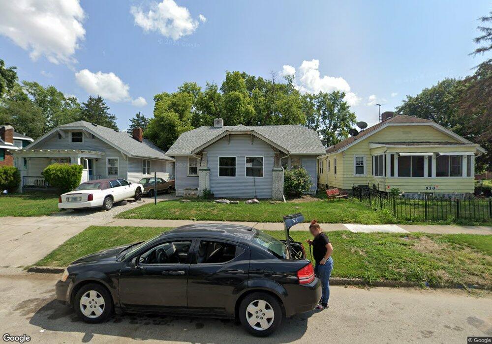
1091 W View St Decatur, IL 62522
Garfield Park NeighborhoodEstimated Value: $33,000 - $41,000
--
Bed
--
Bath
972
Sq Ft
$38/Sq Ft
Est. Value
About This Home
This home is located at 1091 W View St, Decatur, IL 62522 and is currently estimated at $37,399, approximately $38 per square foot. 1091 W View St is a home located in Macon County with nearby schools including Stephen Decatur Middle School, St. Patrick School, and Teen Challenge-Home For Girls.
Ownership History
Date
Name
Owned For
Owner Type
Purchase Details
Closed on
Oct 4, 2012
Sold by
Robbins Martin T and Robbins Christina A
Bought by
Lucas Michael W
Current Estimated Value
Purchase Details
Closed on
Jul 26, 2007
Sold by
Nichols Mindy R and Henderson James A
Bought by
Robbins Martin T and Robbins Christina A
Home Financials for this Owner
Home Financials are based on the most recent Mortgage that was taken out on this home.
Original Mortgage
$33,714
Interest Rate
6.76%
Mortgage Type
New Conventional
Purchase Details
Closed on
Jul 1, 1994
Create a Home Valuation Report for This Property
The Home Valuation Report is an in-depth analysis detailing your home's value as well as a comparison with similar homes in the area
Home Values in the Area
Average Home Value in this Area
Purchase History
| Date | Buyer | Sale Price | Title Company |
|---|---|---|---|
| Lucas Michael W | $8,000 | None Available | |
| Robbins Martin T | $25,000 | None Available | |
| -- | $18,000 | -- |
Source: Public Records
Mortgage History
| Date | Status | Borrower | Loan Amount |
|---|---|---|---|
| Previous Owner | Robbins Martin T | $33,714 |
Source: Public Records
Tax History Compared to Growth
Tax History
| Year | Tax Paid | Tax Assessment Tax Assessment Total Assessment is a certain percentage of the fair market value that is determined by local assessors to be the total taxable value of land and additions on the property. | Land | Improvement |
|---|---|---|---|---|
| 2024 | $680 | $7,022 | $436 | $6,586 |
| 2023 | $674 | $6,774 | $421 | $6,353 |
| 2022 | $653 | $6,387 | $389 | $5,998 |
| 2021 | $614 | $5,966 | $364 | $5,602 |
| 2020 | $605 | $5,690 | $348 | $5,342 |
| 2019 | $605 | $5,690 | $348 | $5,342 |
| 2018 | $641 | $6,100 | $145 | $5,955 |
| 2017 | $656 | $6,263 | $149 | $6,114 |
| 2016 | $669 | $6,327 | $151 | $6,176 |
| 2015 | $635 | $6,215 | $148 | $6,067 |
| 2014 | $683 | $7,129 | $176 | $6,953 |
| 2013 | $706 | $7,397 | $183 | $7,214 |
Source: Public Records
Map
Nearby Homes
- 1065 W Green St
- 917 N Wilder Ave
- 837 W Grand Ave
- 1451 W Marietta St
- 1319 W Waggoner St
- 958 W William St
- 1429 N Walnut Grove Ave
- 875 N Monroe St
- 254 N Pine St
- 415 W Green St
- 933 W Division St
- 266 Cobb Ave
- 1005 W Main St
- 844 N Edward St
- 609 W William St
- 1535 N Mcclellan Ave
- 1530 W Cushing St
- 1545 N Monroe St
- 899 W Main St
- 717 W Prairie Ave Unit 2
- 950 N Oakland Ave
- 1083 W View St
- 1075 W View St
- 1090 W View St
- 940 N Oakland Ave
- 1098 W View St
- 1082 W View St
- 936 N Oakland Ave
- 1074 W View St
- 1065 W View St
- 1064 W View St
- 971 N Oakland Ave
- 935 N Oakland Ave
- 970 N Oakland Ave
- 1090 W King St
- 1055 W View St
- 953 N Oakland Ave
- 1094 W King St
- 1082 W King St
- 1054 W View St