1091 Zack St NE Townsend, GA 31331
Estimated Value: $449,000 - $676,000
3
Beds
3
Baths
1,836
Sq Ft
$298/Sq Ft
Est. Value
About This Home
This home is located at 1091 Zack St NE, Townsend, GA 31331 and is currently estimated at $547,053, approximately $297 per square foot. 1091 Zack St NE is a home with nearby schools including Todd Grant Elementary School, McIntosh County Middle School, and McIntosh County Academy.
Ownership History
Date
Name
Owned For
Owner Type
Purchase Details
Closed on
Oct 17, 2018
Sold by
Rose Gail
Bought by
Glickstein Emily and Goldsmith Richard T
Current Estimated Value
Purchase Details
Closed on
Oct 24, 2017
Sold by
Rose Harold Jerome
Bought by
Rose Gail Collette
Purchase Details
Closed on
Jul 24, 2014
Sold by
Rose Gail G
Bought by
Lane Douglas C and Lane Leigh B
Purchase Details
Closed on
Mar 20, 1997
Sold by
Skelton Marvin
Bought by
Rose Harold J Iii Et
Purchase Details
Closed on
Jun 19, 1995
Bought by
Rose Harold J Iii Et
Create a Home Valuation Report for This Property
The Home Valuation Report is an in-depth analysis detailing your home's value as well as a comparison with similar homes in the area
Home Values in the Area
Average Home Value in this Area
Purchase History
| Date | Buyer | Sale Price | Title Company |
|---|---|---|---|
| Glickstein Emily | -- | -- | |
| Rose Gail Collette | -- | -- | |
| Lane Douglas C | $55,000 | -- | |
| Rose Harold J Iii Et | $8,300 | -- | |
| Rose Harold J Iii Et | $49,000 | -- |
Source: Public Records
Tax History Compared to Growth
Tax History
| Year | Tax Paid | Tax Assessment Tax Assessment Total Assessment is a certain percentage of the fair market value that is determined by local assessors to be the total taxable value of land and additions on the property. | Land | Improvement |
|---|---|---|---|---|
| 2024 | $5,404 | $189,320 | $66,000 | $123,320 |
| 2023 | $5,309 | $185,240 | $66,000 | $119,240 |
| 2022 | $4,847 | $168,640 | $66,000 | $102,640 |
| 2021 | $3,764 | $141,640 | $66,000 | $75,640 |
| 2020 | $3,866 | $139,760 | $66,000 | $73,760 |
| 2019 | $3,824 | $138,160 | $66,000 | $72,160 |
| 2018 | $3,569 | $134,320 | $66,000 | $68,320 |
| 2017 | $4,020 | $134,320 | $66,000 | $68,320 |
| 2016 | $3,186 | $134,320 | $66,000 | $68,320 |
| 2015 | $3,163 | $113,975 | $42,900 | $71,076 |
| 2014 | $3,145 | $123,076 | $52,000 | $71,076 |
Source: Public Records
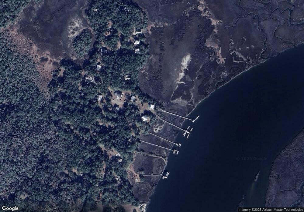
Map
Nearby Homes
- 1055 Journey St NE
- 1234 Miles Ln
- 1234 Hg Miles Dr NE
- 0 10 06 Acres On Julienton Rd NE
- 1653 Hawthorne Rd NE
- 1861 Delegal Dr NE
- 2153 Sutherland Rd
- 1045 River Club Rd NE
- 1269 Sea Way NE
- Lot 27 NE Brittem Way Priester Est Way NE
- 53 Delegal Dr NE
- 0 Julienton Dr Unit 77 10439086
- 1052 Egret Ln NE
- 1231 Delegal Dr NE
- 891 Dolphin Ct
- 52 Delegal Dr NE
- Lot 63 Delegal Dr NE
- Lot 45 Delegal Dr NE
- 151 Julienton Dr
- Lot 1 Julienton Dr
- 1084 Zack St NE
- 1025 Zack St NE
- 3010 Dallas Bluff Rd NE
- 23 & 23A Dallas Bluff Dr
- 2898 Dallas Bluff Rd NE
- 2959 Dallas Bluff Rd NE
- 3080 Dallas Bluff Rd NE
- 1078 Lesli Ct NE
- LOT 2 Lesli Ct NE
- Lot 1 Lesli Ct NE
- 1090 Lesli Ct NE
- 1073 Lesli Ct NE
- 3086 Dallas Bluff Rd NE Unit 1
- 2774 Dallas Bluff Rd NE
- 2823 Dallas Bluff Rd NE
- 15 15a Rd NE
- 19 19a Spaulding Point
- 3104 Dallas Bluff Rd NE
- 2791 Dallas Bluff Rd NE
- 1087 Lesli Ct NE