10910 Pickett Ridge Rd Prairie Grove, AR 72753
Estimated Value: $240,000 - $364,000
--
Bed
2
Baths
1,379
Sq Ft
$208/Sq Ft
Est. Value
About This Home
This home is located at 10910 Pickett Ridge Rd, Prairie Grove, AR 72753 and is currently estimated at $286,321, approximately $207 per square foot. 10910 Pickett Ridge Rd is a home located in Washington County with nearby schools including Prairie Grove Elementary School, Prairie Grove Middle School, and Prairie Grove Junior High School.
Ownership History
Date
Name
Owned For
Owner Type
Purchase Details
Closed on
Feb 4, 2008
Sold by
Wetzel Sherman Lynn
Bought by
Wetzel Sherman Lynn and Wetzel Donna K
Current Estimated Value
Home Financials for this Owner
Home Financials are based on the most recent Mortgage that was taken out on this home.
Original Mortgage
$73,362
Interest Rate
5.06%
Mortgage Type
FHA
Purchase Details
Closed on
Dec 9, 1996
Bought by
Wetzel Sherman L
Purchase Details
Closed on
Jan 20, 1995
Bought by
Wetzel Sherman Lynn and Wetzel Teresa G
Purchase Details
Closed on
Aug 31, 1993
Bought by
Webb Charlie E
Purchase Details
Closed on
Aug 8, 1988
Bought by
Blackland Farms Inc.
Purchase Details
Closed on
Jan 1, 1985
Bought by
Black Russell O
Create a Home Valuation Report for This Property
The Home Valuation Report is an in-depth analysis detailing your home's value as well as a comparison with similar homes in the area
Home Values in the Area
Average Home Value in this Area
Purchase History
| Date | Buyer | Sale Price | Title Company |
|---|---|---|---|
| Wetzel Sherman Lynn | -- | Waco | |
| Wetzel Sherman L | -- | -- | |
| Wetzel Sherman Lynn | $35,000 | -- | |
| Webb Charlie E | $4,000 | -- | |
| Blackland Farms Inc. | -- | -- | |
| Wetzel Sherman Lynn | $43,000 | -- | |
| Black Russell O | -- | -- |
Source: Public Records
Mortgage History
| Date | Status | Borrower | Loan Amount |
|---|---|---|---|
| Closed | Wetzel Sherman Lynn | $73,362 |
Source: Public Records
Tax History Compared to Growth
Tax History
| Year | Tax Paid | Tax Assessment Tax Assessment Total Assessment is a certain percentage of the fair market value that is determined by local assessors to be the total taxable value of land and additions on the property. | Land | Improvement |
|---|---|---|---|---|
| 2025 | $1,650 | $37,250 | $8,000 | $29,250 |
| 2024 | $1,547 | $37,250 | $8,000 | $29,250 |
| 2023 | $1,473 | $37,250 | $8,000 | $29,250 |
| 2022 | $1,339 | $24,850 | $5,600 | $19,250 |
| 2021 | $1,236 | $24,850 | $5,600 | $19,250 |
| 2020 | $1,129 | $24,850 | $5,600 | $19,250 |
| 2019 | $1,037 | $19,070 | $5,100 | $13,970 |
| 2018 | $1,037 | $19,070 | $5,100 | $13,970 |
| 2017 | $1,028 | $19,070 | $5,100 | $13,970 |
| 2016 | $1,028 | $19,070 | $5,100 | $13,970 |
| 2015 | $1,028 | $19,070 | $5,100 | $13,970 |
| 2014 | $1,152 | $21,380 | $5,100 | $16,280 |
Source: Public Records
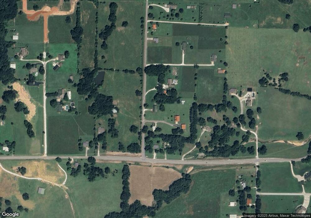
Map
Nearby Homes
- 901 Petit Jean St
- 942 Pinnacle St
- 971 Pinnacle St
- 11048 Orpha Rd
- 11044 Rose Ct
- 2310 Overlook Way
- 10891 Foxglove Ln
- 12048 Riviera Place
- 11082 Meadowsweet Dr
- 11093 Waterleaf Ln
- 12017 Riviera Place
- 11660 Cactus Jack Rd
- 11483 Giles Rd
- 3220 Red Tail Way
- 10715 N Garland McKee Rd
- 1062 Hillcrest Dr
- 1031 Hillcrest Dr
- 1032 Hillcrest Dr
- 1009 Hillcrest Dr
- 2213 Overlook Way
- 0 Pickett Ridge Rd
- 10820 Pickett Ridge Rd
- 10864 Pickett Ridge Rd
- 10922 Pickett Ridge Rd
- 10877 N Highway 170
- 10881 N Highway 170
- 10889 N Highway 170
- 10847 N Highway 170
- 10976 Pickett Ridge Rd
- 10926 Pickett Ridge Rd
- 10930 Pickett Ridge Rd
- 10845 N Highway 170
- 10894 N Highway 170
- 10988 Pickett Ridge Rd
- 10904 N Highway 170
- 10904 N Highway 170
- 10896 N Highway 170
- 10888 Otter Rd
- 10992 Pickett Ridge Rd
- 10962 Otter Rd