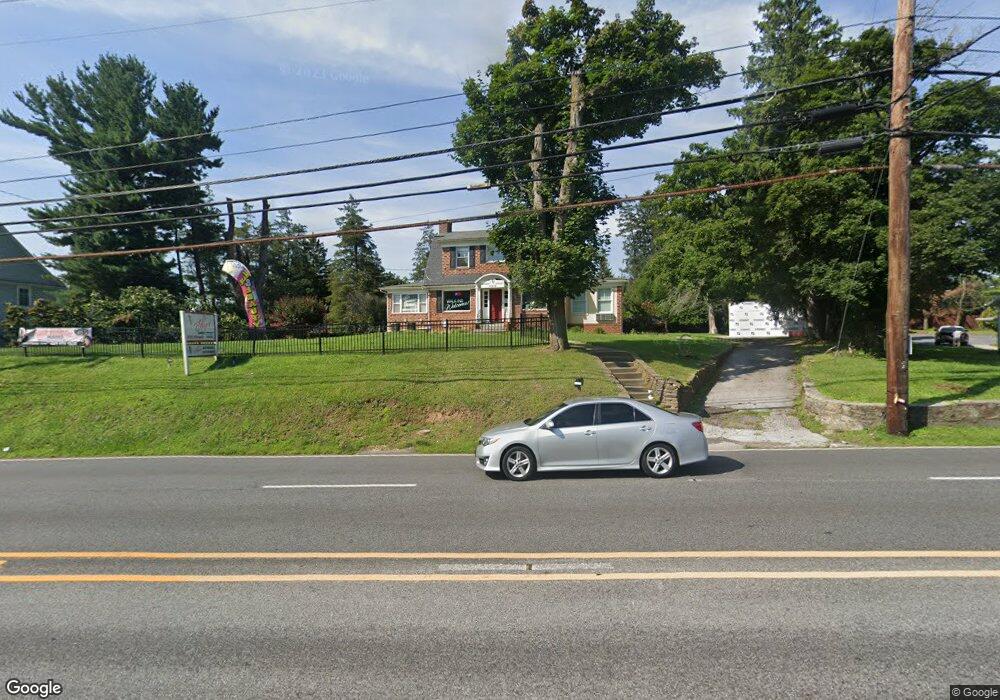
10910 Reisterstown Rd Unit A Owings Mills, MD 21117
Estimated Value: $266,000
--
Bed
1
Bath
1,709
Sq Ft
$156/Sq Ft
Est. Value
About This Home
This home is located at 10910 Reisterstown Rd Unit A, Owings Mills, MD 21117 and is currently priced at $266,000, approximately $155 per square foot. 10910 Reisterstown Rd Unit A is a home located in Baltimore County with nearby schools including Owings Mills Elementary School, Deer Park Middle Magnet School, and Owings Mills High School.
Ownership History
Date
Name
Owned For
Owner Type
Purchase Details
Closed on
Mar 20, 2019
Sold by
E Generation Corporation
Bought by
3 Ab Property Investment Management Llc
Current Estimated Value
Purchase Details
Closed on
Oct 5, 1999
Sold by
White Gordon R
Bought by
Bystry Brian P and Bystry Martha A
Purchase Details
Closed on
Mar 15, 1996
Sold by
White Grace M
Bought by
White Gordon R
Purchase Details
Closed on
May 22, 1958
Sold by
White Res U Se-Ci E W
Bought by
White Grace M
Create a Home Valuation Report for This Property
The Home Valuation Report is an in-depth analysis detailing your home's value as well as a comparison with similar homes in the area
Home Values in the Area
Average Home Value in this Area
Purchase History
| Date | Buyer | Sale Price | Title Company |
|---|---|---|---|
| 3 Ab Property Investment Management Llc | $255,000 | Accommodation | |
| Bystry Brian P | $160,000 | -- | |
| White Gordon R | -- | -- | |
| White Grace M | $15,000 | -- |
Source: Public Records
Tax History Compared to Growth
Tax History
| Year | Tax Paid | Tax Assessment Tax Assessment Total Assessment is a certain percentage of the fair market value that is determined by local assessors to be the total taxable value of land and additions on the property. | Land | Improvement |
|---|---|---|---|---|
| 2025 | $4,300 | $347,000 | $164,800 | $182,200 |
| 2024 | $4,300 | $333,367 | $0 | $0 |
| 2023 | $2,070 | $319,733 | $0 | $0 |
| 2022 | $3,929 | $306,100 | $164,800 | $141,300 |
| 2021 | $3,820 | $297,967 | $0 | $0 |
| 2020 | $3,792 | $289,833 | $0 | $0 |
| 2019 | $3,414 | $281,700 | $164,800 | $116,900 |
| 2018 | $3,600 | $279,667 | $0 | $0 |
| 2017 | $3,587 | $277,633 | $0 | $0 |
| 2016 | $3,507 | $275,600 | $0 | $0 |
| 2015 | $3,507 | $275,600 | $0 | $0 |
| 2014 | $3,507 | $275,600 | $0 | $0 |
Source: Public Records
Map
Nearby Homes
- 11015 Reisterstown Rd
- 11017 Reisterstown Rd
- 11019 Reisterstown Rd
- 11021 Reisterstown Rd
- 17 Pleasant Hill Rd
- 21 Pleasant Hill Rd
- 32 Pleasant Hill Rd
- 307 Wyndham Cir Unit G
- 11123 Wilder Way
- 210 Earhart Ct
- 156 S Ritters Ln
- 60 S Ritters Ln
- 57 Chins Ct
- 6 Bee Jay Ct
- 16 Garrison Ridge Ct
- 921 Academy Ave
- 923 Academy Ave
- 139 Grist Stone Way
- 105 Allgate Ct
- 26 Wyegate Ct
- 10910 Reisterstown Rd
- 10912 Reisterstown Rd Unit D
- 10912 Reisterstown Rd Unit C
- 10912 Reisterstown Rd
- 10912 Reisterstown Rd Unit B
- 10 Ritters Ln
- 11000 Reisterstown Rd
- 5 Pleasant Hill Rd
- 10911 Reisterstown Rd
- 11006 Reisterstown Rd
- 7 Pleasant Hill Rd
- 6 N Ritters Ln
- 10902 Reisterstown Rd
- 19 Gwynnswood Rd
- 13 Gwynnswood Rd
- 15 Gwynnswood Rd
- 11 Gwynnswood Rd
- 6 Pleasant Hill Rd
- 9 Gwynnswood Rd
- 7 Gwynnswood Rd