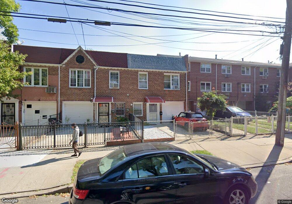
10911 97th St Ozone Park, NY 11417
Ozone Park NeighborhoodEstimated Value: $622,071 - $775,000
--
Bed
--
Bath
1,320
Sq Ft
$538/Sq Ft
Est. Value
About This Home
This home is located at 10911 97th St, Ozone Park, NY 11417 and is currently estimated at $710,268, approximately $538 per square foot. 10911 97th St is a home located in Queens County with nearby schools including P.S. 108 - Capt. Vincent G. Fowler, M.S.137 America's School of Heroes, and John Adams High School.
Ownership History
Date
Name
Owned For
Owner Type
Purchase Details
Closed on
Nov 24, 1997
Sold by
Ng Helena and Ng Patrick Wai Choi
Bought by
Ho Kam Tong and Ho Chui Sau King
Current Estimated Value
Home Financials for this Owner
Home Financials are based on the most recent Mortgage that was taken out on this home.
Original Mortgage
$106,500
Interest Rate
7.15%
Create a Home Valuation Report for This Property
The Home Valuation Report is an in-depth analysis detailing your home's value as well as a comparison with similar homes in the area
Home Values in the Area
Average Home Value in this Area
Purchase History
| Date | Buyer | Sale Price | Title Company |
|---|---|---|---|
| Ho Kam Tong | $142,000 | -- |
Source: Public Records
Mortgage History
| Date | Status | Borrower | Loan Amount |
|---|---|---|---|
| Closed | Ho Kam Tong | $106,500 |
Source: Public Records
Tax History Compared to Growth
Tax History
| Year | Tax Paid | Tax Assessment Tax Assessment Total Assessment is a certain percentage of the fair market value that is determined by local assessors to be the total taxable value of land and additions on the property. | Land | Improvement |
|---|---|---|---|---|
| 2025 | $4,816 | $29,447 | $9,342 | $20,105 |
| 2024 | $4,921 | $27,780 | $9,260 | $18,520 |
| 2023 | $1,869 | $26,208 | $7,446 | $18,762 |
| 2022 | $1,817 | $35,880 | $12,240 | $23,640 |
| 2021 | $2,078 | $38,040 | $12,240 | $25,800 |
| 2020 | $1,938 | $36,240 | $12,240 | $24,000 |
| 2019 | $1,762 | $31,020 | $12,240 | $18,780 |
| 2018 | $1,567 | $21,840 | $12,240 | $9,600 |
| 2017 | $4,344 | $24,480 | $12,240 | $12,240 |
| 2016 | $1,769 | $24,480 | $12,240 | $12,240 |
| 2015 | $2,611 | $22,564 | $12,616 | $9,948 |
| 2014 | $2,611 | $22,323 | $12,036 | $10,287 |
Source: Public Records
Map
Nearby Homes
- 10723 96th St
- 10719 96th St
- 132-01 100th St
- 10010 133rd Ave
- 106-38 95th St
- 9439 134th Ave
- 107-62 93rd St
- 107-16 103rd St
- 96-06 134th Rd
- 13319 Crossbay Blvd
- 13318 Centreville St
- 103-48 96th St
- 10317 Plattwood Ave
- 95-18 Linden Blvd
- 107-20 92nd St
- 9108 Sutter Ave
- 132-11 Centreville St
- 10370 103rd St
- 10333 Woodhaven Blvd
- 103-50 102nd St