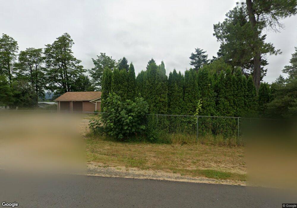
10912 188th Ave SW Rochester, WA 98579
Estimated Value: $684,000 - $860,000
3
Beds
2
Baths
1,839
Sq Ft
$408/Sq Ft
Est. Value
About This Home
This home is located at 10912 188th Ave SW, Rochester, WA 98579 and is currently estimated at $751,185, approximately $408 per square foot. 10912 188th Ave SW is a home located in Thurston County with nearby schools including Rochester Primary School, Grand Mound Elementary School, and Rochester Middle School.
Ownership History
Date
Name
Owned For
Owner Type
Purchase Details
Closed on
Sep 12, 2024
Sold by
Deskins James Allen
Bought by
Nikula Clareda
Current Estimated Value
Purchase Details
Closed on
Jul 26, 2006
Sold by
Kast Winfried O D and Kast Yonika A
Bought by
Deskins James A and Deskins Clareda J
Home Financials for this Owner
Home Financials are based on the most recent Mortgage that was taken out on this home.
Original Mortgage
$206,594
Interest Rate
6.57%
Mortgage Type
Seller Take Back
Create a Home Valuation Report for This Property
The Home Valuation Report is an in-depth analysis detailing your home's value as well as a comparison with similar homes in the area
Home Values in the Area
Average Home Value in this Area
Purchase History
| Date | Buyer | Sale Price | Title Company |
|---|---|---|---|
| Nikula Clareda | -- | None Listed On Document | |
| Deskins James A | $406,593 | Stewart Title Of Western |
Source: Public Records
Mortgage History
| Date | Status | Borrower | Loan Amount |
|---|---|---|---|
| Previous Owner | Deskins James A | $206,594 |
Source: Public Records
Tax History Compared to Growth
Tax History
| Year | Tax Paid | Tax Assessment Tax Assessment Total Assessment is a certain percentage of the fair market value that is determined by local assessors to be the total taxable value of land and additions on the property. | Land | Improvement |
|---|---|---|---|---|
| 2024 | $4,690 | $590,300 | $305,300 | $285,000 |
| 2023 | $4,690 | $539,800 | $248,100 | $291,700 |
| 2022 | $5,036 | $537,500 | $217,100 | $320,400 |
| 2021 | $3,416 | $490,100 | $251,100 | $239,000 |
| 2020 | $3,831 | $303,000 | $122,400 | $180,600 |
| 2019 | $3,188 | $283,800 | $112,700 | $171,100 |
| 2018 | $3,549 | $246,500 | $99,100 | $147,400 |
| 2017 | $3,324 | $233,000 | $101,500 | $131,500 |
| 2016 | $3,317 | $233,250 | $110,550 | $122,700 |
| 2014 | -- | $228,350 | $106,750 | $121,600 |
Source: Public Records
Map
Nearby Homes
- 10239 185th Ave SW Unit 45
- 10931 Lundeen Rd SW
- 9538 184th Ave SW
- 18125 Albany St SW
- 10630 Lundeen Rd SW
- 17930 Albany St SW Unit 57
- 18525 Paulson St SW
- 17930 Littlerock Rd SW
- 18602 Paulson St SW
- 17710 Albany St SW
- 18024 Jordan St SW
- 12630 183rd Ave SW
- 12624 183rd Ave SW
- 17731 Jordan St SW
- 17927 Daryl Ln SW
- 0 Roseburg St SW Unit NWM2371565
- 10418 173rd Ave SW
- 18549 Roseburg St SW
- 20449 Michigan Hill Rd SW
- 9237 Applegate Loop SW
- 10909 188th Ave SW
- 10821 188th Ave SW
- 10747 188th Ave SW
- 18526 Forstrom St SW
- 10810 188th Ave SW
- 10818 188th Ave SW
- 10702 Independence Rd SW
- 10838 Independence Rd SW
- 18721 Forstrom Rd SW
- 18531 Forstrom Rd SW
- 18609 Forstrom Rd SW
- 11020 Independence Rd SW
- 18502 Forstrom Rd SW
- 18334 Forstrom Rd SW
- 10819 Highway 12 SW
- 10739 188th Ave SW
- 18445 Forstrom St SW
- 10647 Highway 12 SW
- 19001 Marble St SW
- 18337 Forstrom St SW
