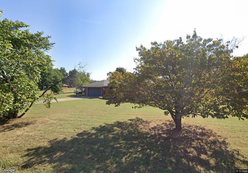
109127 S 4761 Rd Roland, OK 74954
Estimated Value: $178,869 - $224,000
3
Beds
2
Baths
1,380
Sq Ft
$142/Sq Ft
Est. Value
About This Home
This home is located at 109127 S 4761 Rd, Roland, OK 74954 and is currently estimated at $195,467, approximately $141 per square foot. 109127 S 4761 Rd is a home located in Sequoyah County with nearby schools including Roland Middle School and Roland High School.
Ownership History
Date
Name
Owned For
Owner Type
Purchase Details
Closed on
Jul 1, 2008
Sold by
Strong Anthony Todd and Strong Kimberly
Bought by
Grass Jerry Pender and Pendergrass Delana
Current Estimated Value
Home Financials for this Owner
Home Financials are based on the most recent Mortgage that was taken out on this home.
Original Mortgage
$113,223
Outstanding Balance
$72,747
Interest Rate
5.99%
Mortgage Type
FHA
Estimated Equity
$122,720
Purchase Details
Closed on
Oct 27, 2000
Sold by
Gray Darrin K and Julie An
Bought by
Strong Anthony and Strong Kimberl
Purchase Details
Closed on
Aug 1, 1992
Sold by
Shamblin Dan
Bought by
Gray Darrin K
Create a Home Valuation Report for This Property
The Home Valuation Report is an in-depth analysis detailing your home's value as well as a comparison with similar homes in the area
Home Values in the Area
Average Home Value in this Area
Purchase History
| Date | Buyer | Sale Price | Title Company |
|---|---|---|---|
| Grass Jerry Pender | $115,000 | None Available | |
| Strong Anthony | $73,000 | -- | |
| Gray Darrin K | $50,300 | -- |
Source: Public Records
Mortgage History
| Date | Status | Borrower | Loan Amount |
|---|---|---|---|
| Open | Grass Jerry Pender | $113,223 |
Source: Public Records
Tax History Compared to Growth
Tax History
| Year | Tax Paid | Tax Assessment Tax Assessment Total Assessment is a certain percentage of the fair market value that is determined by local assessors to be the total taxable value of land and additions on the property. | Land | Improvement |
|---|---|---|---|---|
| 2024 | $1,302 | $13,948 | $1,265 | $12,683 |
| 2023 | $1,241 | $13,283 | $1,265 | $12,018 |
| 2022 | $1,126 | $12,772 | $1,265 | $11,507 |
| 2021 | $1,140 | $12,799 | $1,265 | $11,534 |
| 2020 | $1,165 | $12,799 | $1,265 | $11,534 |
| 2019 | $1,178 | $12,942 | $1,265 | $11,677 |
| 2018 | $1,093 | $13,063 | $1,265 | $11,798 |
| 2017 | $1,093 | $12,826 | $825 | $12,001 |
| 2016 | $1,090 | $12,958 | $825 | $12,133 |
| 2015 | $1,039 | $12,650 | $825 | $11,825 |
| 2014 | $1,041 | $12,651 | $825 | $11,826 |
Source: Public Records
Map
Nearby Homes
- 476120 E 1091 Rd
- 0000 Cottonwood Rd
- 476967 E 1090 Rd
- 108892 S 4768 Rd
- 109483 S 4770 Rd
- 109365 S 4749 Rd
- 108714 S 4767 Rd
- 477053 E 1085 Rd
- 108962 Hummingbird Ln
- 511 Mayfield Dr
- 505 Mayfield Dr
- 910 James St
- 200 S Jeff Ln
- 110907 S 4760 Rd
- 308 Highland Rd
- 104 Church St
- 0 N Cottonwood Rd
- 2000 N Cottonwood Rd
- 110662 S 4750 Rd
- 407 W Ray Fine Blvd
- 108704 S 4761 Rd
- 109051 S 4761 Rd
- 109134 S 4761 Rd
- 109064 S 4762 Rd
- 476158 E 1091 Rd
- 109059 S 4761 Rd
- 476021 E 1091 Rd
- 109091 S 4762 Rd
- 109137 S 4762 Rd
- 109129 S 4762 Rd
- 109162 S 4762 Rd
- 476018 E 1091 Rd
- 476062 E 1090 Rd
- 476023 E 1090 Rd
- 109192 S 4762 Rd
- 109177 Curd Rd
- 109000 S 4762 Rd
- 476036 E 1090 Rd
- 109136 S 4760 Rd
- 109200 S 4762 Rd