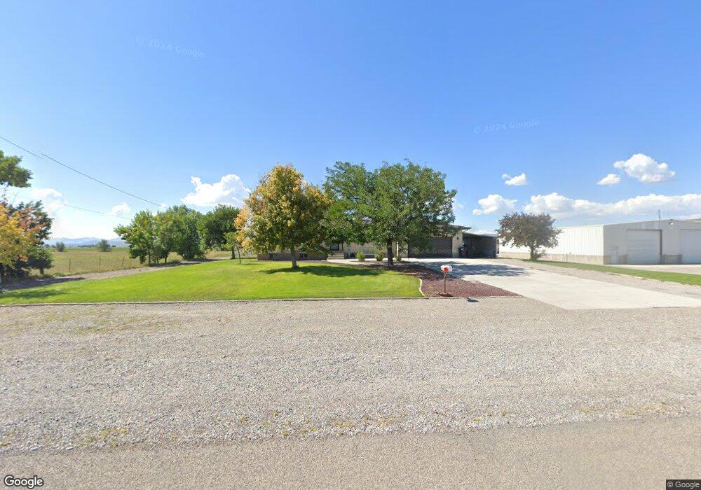
10915 N 7600 W Tremonton, UT 84337
Estimated Value: $585,000 - $609,000
--
Bed
--
Bath
1,744
Sq Ft
$342/Sq Ft
Est. Value
About This Home
This home is located at 10915 N 7600 W, Tremonton, UT 84337 and is currently estimated at $595,839, approximately $341 per square foot. 10915 N 7600 W is a home located in Box Elder County with nearby schools including McKinley School, Alice C. Harris Intermediate School, and Bear River Middle School.
Ownership History
Date
Name
Owned For
Owner Type
Purchase Details
Closed on
Aug 3, 2021
Sold by
Stamey Perry K and Stamey Beth
Bought by
Davenport Christopher and Davenport Sara
Current Estimated Value
Home Financials for this Owner
Home Financials are based on the most recent Mortgage that was taken out on this home.
Original Mortgage
$327,250
Outstanding Balance
$298,015
Interest Rate
3%
Mortgage Type
New Conventional
Estimated Equity
$297,824
Create a Home Valuation Report for This Property
The Home Valuation Report is an in-depth analysis detailing your home's value as well as a comparison with similar homes in the area
Home Values in the Area
Average Home Value in this Area
Purchase History
| Date | Buyer | Sale Price | Title Company |
|---|---|---|---|
| Davenport Christopher | -- | American Secure Ttl Tremonto |
Source: Public Records
Mortgage History
| Date | Status | Borrower | Loan Amount |
|---|---|---|---|
| Open | Davenport Christopher | $327,250 |
Source: Public Records
Tax History Compared to Growth
Tax History
| Year | Tax Paid | Tax Assessment Tax Assessment Total Assessment is a certain percentage of the fair market value that is determined by local assessors to be the total taxable value of land and additions on the property. | Land | Improvement |
|---|---|---|---|---|
| 2025 | $3,431 | $519,833 | $162,100 | $357,733 |
| 2024 | $3,085 | $520,141 | $162,100 | $358,041 |
| 2023 | $3,178 | $534,671 | $166,840 | $367,831 |
| 2022 | $2,481 | $246,815 | $27,770 | $219,045 |
| 2021 | $2,288 | $307,348 | $50,490 | $256,858 |
| 2020 | $2,031 | $307,348 | $50,490 | $256,858 |
| 2019 | $1,897 | $13,680 | $6,840 | $6,840 |
| 2018 | $1,447 | $108,556 | $24,606 | $83,950 |
| 2017 | $1,494 | $193,611 | $24,606 | $152,636 |
| 2016 | $1,474 | $104,558 | $24,606 | $79,952 |
| 2015 | $1,351 | $97,290 | $24,606 | $72,684 |
| 2014 | $1,351 | $93,828 | $24,606 | $69,222 |
| 2013 | -- | $93,828 | $20,006 | $73,822 |
Source: Public Records
Map
Nearby Homes
- River Valley Plan at River Valley Townhome Community - River Valley
- 2460 W 450 N Unit 10
- 1635 W 125 N
- 475 N 2650 W
- 126 N 1500 W
- 10000 W 10400 N
- 11046 N 8300 W Unit 16
- 2513 W 600 N
- 11148 N 8300 W Unit 11
- Edgeworth Plan at Beckams Edge
- Xavier Plan at Beckams Edge
- Brantwood Plan at Beckams Edge
- Canyon Plan at Beckams Edge
- Somerley Plan at Beckams Edge
- Berrington Plan at Beckams Edge
- Stanton Plan at Beckams Edge
- Northfield Plan at Beckams Edge
- Kensington Plan at Beckams Edge
- Ravenstone Plan at Beckams Edge
- Clearpoint Plan at Beckams Edge