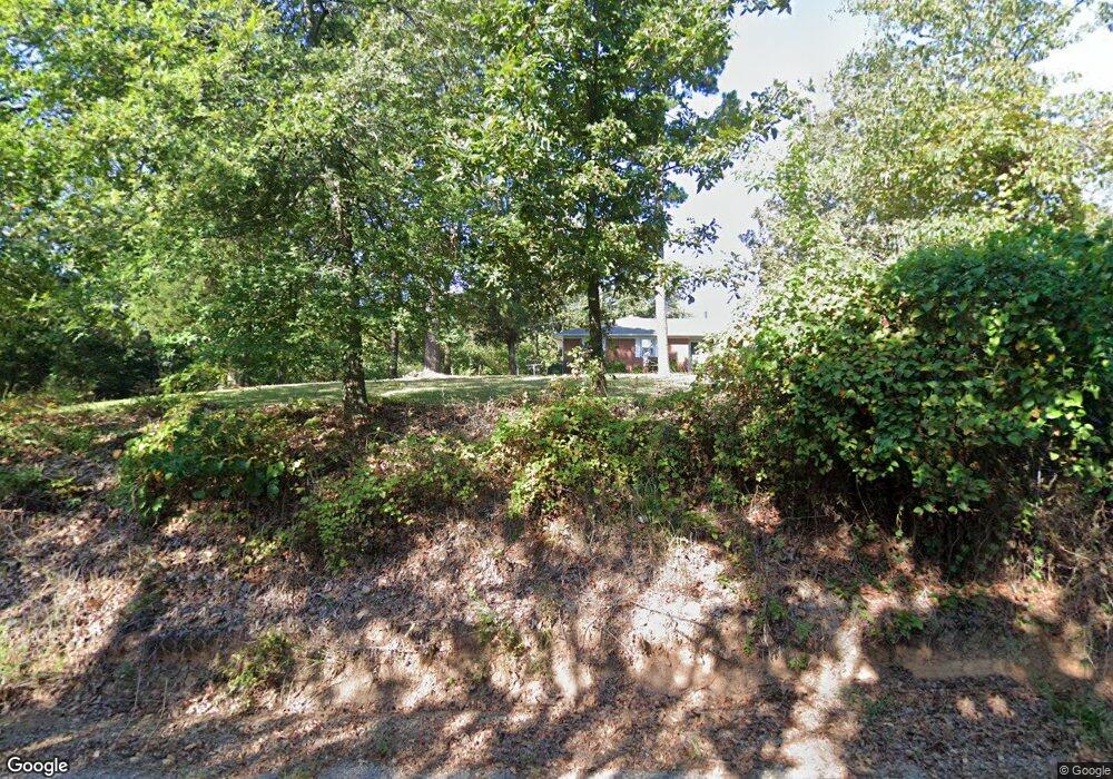
109154 S 4767 Rd Roland, OK 74954
Estimated Value: $240,000 - $415,000
3
Beds
2
Baths
1,796
Sq Ft
$171/Sq Ft
Est. Value
About This Home
This home is located at 109154 S 4767 Rd, Roland, OK 74954 and is currently estimated at $306,495, approximately $170 per square foot. 109154 S 4767 Rd is a home located in Sequoyah County with nearby schools including Roland Middle School and Roland High School.
Ownership History
Date
Name
Owned For
Owner Type
Purchase Details
Closed on
Mar 15, 2019
Sold by
Lockwood Stewart Warren and Lockwood Darla
Bought by
Lockwood Anderson Tressa and Lockwood Anderson Teresa
Current Estimated Value
Purchase Details
Closed on
Mar 13, 2019
Sold by
Lockwood Stewart Warren
Bought by
Lockwood Anderson Tresa and Lockwood Anderson Teresa
Purchase Details
Closed on
Jan 19, 2012
Sold by
Lockwood Warren L
Bought by
Lockwood Stewart Warren and Anderson Teresa Lockwood
Purchase Details
Closed on
Dec 29, 1992
Sold by
Lockwood Warren and Lockwood Leda T
Bought by
Lockwood Stewart and Lockwood T
Create a Home Valuation Report for This Property
The Home Valuation Report is an in-depth analysis detailing your home's value as well as a comparison with similar homes in the area
Home Values in the Area
Average Home Value in this Area
Purchase History
| Date | Buyer | Sale Price | Title Company |
|---|---|---|---|
| Lockwood Anderson Tressa | -- | None Available | |
| Lockwood Anderson Tresa | -- | None Available | |
| Lockwood Stewart Warren | -- | None Available | |
| Lockwood Stewart | -- | -- |
Source: Public Records
Tax History Compared to Growth
Tax History
| Year | Tax Paid | Tax Assessment Tax Assessment Total Assessment is a certain percentage of the fair market value that is determined by local assessors to be the total taxable value of land and additions on the property. | Land | Improvement |
|---|---|---|---|---|
| 2024 | $1,203 | $14,108 | $5,276 | $8,832 |
| 2023 | $1,166 | $13,696 | $5,169 | $8,527 |
| 2022 | $1,085 | $13,297 | $5,041 | $8,256 |
| 2021 | $991 | $12,485 | $4,691 | $7,794 |
| 2020 | $980 | $11,768 | $4,410 | $7,358 |
| 2019 | $949 | $11,426 | $4,276 | $7,150 |
| 2018 | $376 | $5,493 | $2,010 | $3,483 |
| 2017 | $369 | $5,333 | $1,930 | $3,403 |
| 2016 | $351 | $5,178 | $1,834 | $3,344 |
| 2015 | $331 | $5,028 | $1,743 | $3,285 |
| 2014 | $319 | $4,880 | $1,674 | $3,206 |
Source: Public Records
Map
Nearby Homes
- 476967 E 1090 Rd
- 109483 S 4770 Rd
- 108962 Hummingbird Ln
- 476120 E 1091 Rd
- 477053 E 1085 Rd
- 108892 S 4768 Rd
- 0000 Cottonwood Rd
- 511 Mayfield Dr
- 910 James St
- 200 S Jeff Ln
- 505 Mayfield Dr
- 108714 S 4767 Rd
- 308 Highland Rd
- 104 Church St
- 136 Stone Dr
- 138 Stone Dr
- 109365 S 4749 Rd
- 110907 S 4760 Rd
- 101 Hollow Dr
- 407 W Ray Fine Blvd
- 109157 S 4767 Rd
- 107612 S 4770 Rd
- 107612 S 4770 Rd
- 107696 S 4770 Rd
- 109130 S 4767 Rd
- 109256 S 4767 Rd
- 109273 S 4767 Rd
- 109034 S 4767 Rd
- 109019 S 4767 Rd
- 476723 E 1090 Loop
- 476848 E 1090 Rd
- 476496 E 1091 Rd
- 476881 E 1090 Rd
- 109360 S 4767 Rd
- 114-A Rr
- 476646 E 1090 Rd
- 109164 S 4769 Rd
- 476734 E 1090 Loop
- 476472 E 1091 Rd
- 1090 E E Rd