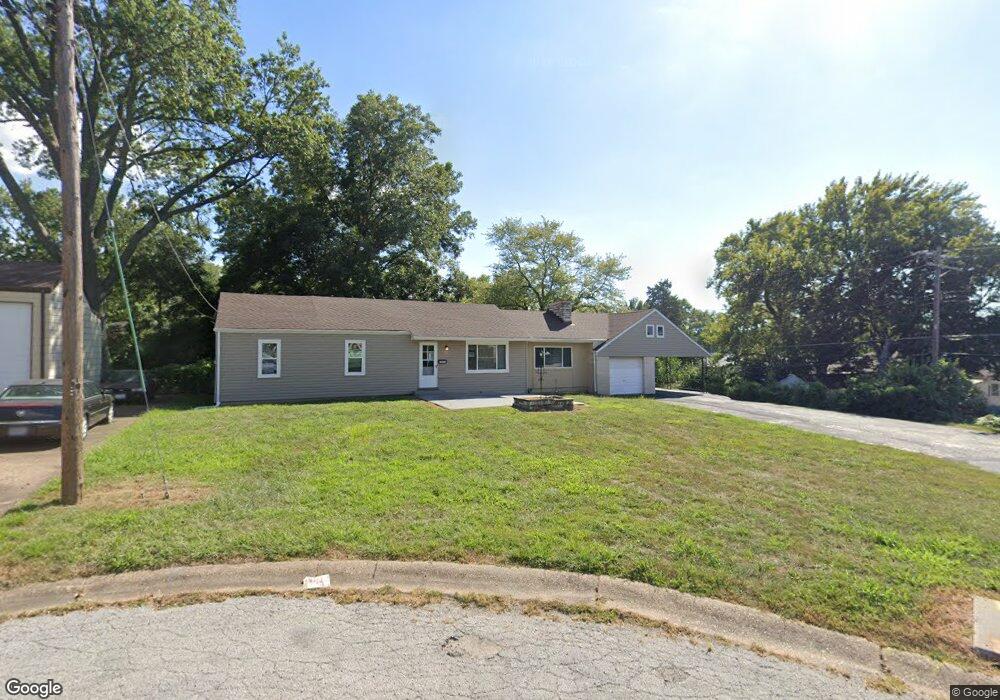
10916 Pear Tree Ln Saint Ann, MO 63074
Estimated Value: $163,000 - $191,000
2
Beds
1
Bath
1,352
Sq Ft
$131/Sq Ft
Est. Value
About This Home
This home is located at 10916 Pear Tree Ln, Saint Ann, MO 63074 and is currently estimated at $177,023, approximately $130 per square foot. 10916 Pear Tree Ln is a home located in St. Louis County with nearby schools including Kratz Elementary School, Hoech Middle School, and Ritenour Senior High School.
Ownership History
Date
Name
Owned For
Owner Type
Purchase Details
Closed on
Jan 19, 2021
Sold by
Drury Development Corporation
Bought by
Ocg Missouri Holdings Llc
Current Estimated Value
Home Financials for this Owner
Home Financials are based on the most recent Mortgage that was taken out on this home.
Original Mortgage
$885,000
Outstanding Balance
$782,599
Interest Rate
2.71%
Mortgage Type
Future Advance Clause Open End Mortgage
Estimated Equity
-$605,576
Purchase Details
Closed on
May 1, 2001
Sold by
Broadway Gene E
Bought by
Drury Development Corp
Purchase Details
Closed on
Oct 30, 1999
Sold by
Broadway Gene E
Bought by
Houston Ladonna and Broadway Sandra
Create a Home Valuation Report for This Property
The Home Valuation Report is an in-depth analysis detailing your home's value as well as a comparison with similar homes in the area
Home Values in the Area
Average Home Value in this Area
Purchase History
| Date | Buyer | Sale Price | Title Company |
|---|---|---|---|
| Ocg Missouri Holdings Llc | $662,000 | St Louis Title Llc | |
| Drury Development Corp | $150,000 | -- | |
| Drury Development Corp | $150,000 | -- | |
| Houston Ladonna | -- | -- |
Source: Public Records
Mortgage History
| Date | Status | Borrower | Loan Amount |
|---|---|---|---|
| Open | Ocg Missouri Holdings Llc | $885,000 |
Source: Public Records
Tax History
| Year | Tax Paid | Tax Assessment Tax Assessment Total Assessment is a certain percentage of the fair market value that is determined by local assessors to be the total taxable value of land and additions on the property. | Land | Improvement |
|---|---|---|---|---|
| 2025 | $2,737 | $33,670 | $6,400 | $27,270 |
| 2024 | $2,737 | $27,910 | $4,920 | $22,990 |
| 2023 | $2,737 | $27,910 | $4,920 | $22,990 |
| 2022 | $2,313 | $22,210 | $3,930 | $18,280 |
| 2021 | $2,312 | $22,210 | $3,930 | $18,280 |
| 2020 | $2,327 | $20,510 | $4,640 | $15,870 |
| 2019 | $2,302 | $20,510 | $4,640 | $15,870 |
| 2018 | $1,960 | $15,680 | $2,360 | $13,320 |
| 2017 | $1,859 | $15,680 | $2,360 | $13,320 |
| 2016 | $1,616 | $14,860 | $2,740 | $12,120 |
| 2015 | $1,653 | $14,860 | $2,740 | $12,120 |
| 2014 | $1,631 | $14,920 | $4,750 | $10,170 |
Source: Public Records
Map
Nearby Homes
- 4404 Saint Leo Ln
- 11218 Saint Shawn Ln
- 4207 Saint Linus Ln
- 11280 Liana Ln
- 4423 Dabney Dr
- 10549 Saint Philip Ln
- 3904 Jane Ave
- 10705 Saint Stephen Ln
- 10335 Saint Joan Ln
- 10212 Saint Arthur Ln
- 10019 Saint Martha Ln
- 4204 Beauty Ln
- 3720 High Dr
- 3516 Saint Luke Ln
- 3554 Westridge Ln
- 3550 Saint Christopher Ln
- 3724 Adie Rd
- 9509 Harold Dr
- 10738 Saint Cosmas Ln
- 10554 Saint Michael Ln
- 10908 Pear Tree Ln
- 4444 Saint Leo Ln
- 4448 Saint Leo Ln
- 10133 Douglas Ct
- 4436 Saint Leo Ln
- 4452 Saint Leo Ln
- 10137 Douglas Ct
- 4432 Saint Leo Ln
- 4500 Saint Leo Ln
- 10129 Douglas Ct
- 10129 Douglass Ct
- 10900 Pear Tree Ln
- 4504 Saint Leo Ln
- 10125 Douglas Ct
- 4424 Saint Leo Ln
- 4508 Saint Leo Ln
- 10917 Pear Tree Ln
- 10121 Douglas Ct
- 10121 Douglas - 10123 Ct
- 11000 Saint Ambrose Ln