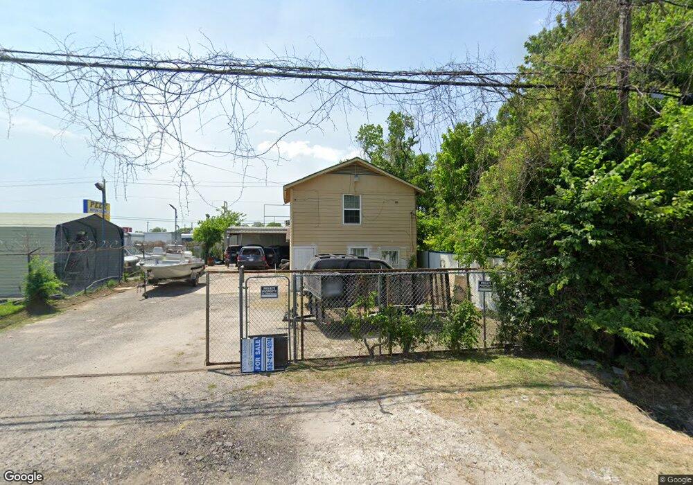
10917 Epsom Rd Unit 1 Houston, TX 77093
East Aldine NeighborhoodEstimated Value: $177,000 - $208,000
--
Bed
--
Bath
800
Sq Ft
$239/Sq Ft
Est. Value
About This Home
This home is located at 10917 Epsom Rd Unit 1, Houston, TX 77093 and is currently estimated at $191,008, approximately $238 per square foot. 10917 Epsom Rd Unit 1 is a home located in Harris County with nearby schools including Escamilla Elementary School, Hambrick Middle School, and Macarthur Ninth Grade School.
Ownership History
Date
Name
Owned For
Owner Type
Purchase Details
Closed on
Mar 25, 2021
Sold by
Deanda Christopher and Deanda Chris
Bought by
Deanda Manuel and Deanda Christopher
Current Estimated Value
Purchase Details
Closed on
Jun 5, 2007
Sold by
Gonzales Isaac G and Gonzales Maria J
Bought by
Jacobus Charles J
Purchase Details
Closed on
Aug 22, 2001
Sold by
Millican Charles E and Millican Mary M
Bought by
Gonzales Isaac G and Gonzales Maria J
Home Financials for this Owner
Home Financials are based on the most recent Mortgage that was taken out on this home.
Original Mortgage
$70,000
Interest Rate
7.16%
Mortgage Type
Seller Take Back
Create a Home Valuation Report for This Property
The Home Valuation Report is an in-depth analysis detailing your home's value as well as a comparison with similar homes in the area
Home Values in the Area
Average Home Value in this Area
Purchase History
| Date | Buyer | Sale Price | Title Company |
|---|---|---|---|
| Deanda Manuel | -- | None Available | |
| Jacobus Charles J | $75,000 | None Available | |
| Gonzales Isaac G | -- | Charter Title Company |
Source: Public Records
Mortgage History
| Date | Status | Borrower | Loan Amount |
|---|---|---|---|
| Previous Owner | Gonzales Isaac G | $70,000 |
Source: Public Records
Tax History Compared to Growth
Tax History
| Year | Tax Paid | Tax Assessment Tax Assessment Total Assessment is a certain percentage of the fair market value that is determined by local assessors to be the total taxable value of land and additions on the property. | Land | Improvement |
|---|---|---|---|---|
| 2025 | $3,783 | $213,240 | $136,116 | $77,124 |
| 2024 | $3,783 | $195,521 | $136,116 | $59,405 |
| 2023 | $3,783 | $220,271 | $136,116 | $84,155 |
| 2022 | $3,198 | $155,507 | $90,744 | $64,763 |
| 2021 | $3,186 | $147,817 | $90,744 | $57,073 |
| 2020 | $3,260 | $143,526 | $90,744 | $52,782 |
| 2019 | $3,265 | $137,243 | $90,744 | $46,499 |
| 2018 | $934 | $65,051 | $22,500 | $42,551 |
| 2017 | $1,455 | $64,187 | $22,500 | $41,687 |
| 2016 | $1,439 | $63,479 | $22,500 | $40,979 |
| 2015 | $990 | $49,688 | $15,000 | $34,688 |
| 2014 | $990 | $44,403 | $15,000 | $29,403 |
Source: Public Records
Map
Nearby Homes
- 3804 Cedar Hill Ln
- 4410 Shelton Rd
- 4918 Langley Rd
- 11206 Eastex Fwy
- 3418 Hopper Rd
- 1904 Little York Rd
- 4415 Mooney Rd
- 4809 Edgewater Dr
- 4007 Wedgewood St
- 1728 Little York Rd
- 4509 Haywood St
- 3214 Brea Crest St
- 5022 Bretshire Dr
- 3709 Gager St
- 2817 Cromwell St
- 5130 Farb Dr
- 2636 Lone Oak Rd
- 9213 Washington St
- 2629 Kowis St
- 5123 Francine Ln
- 4001 Vivian Rd
- 4003 Vivian Rd
- 4006 Tolar Ave
- 4007 Vivian Rd
- 4006 Tolar St
- 4006 Tolar St
- 4008 Tolar St
- 4022 Vivian Rd
- 4009 Vivian Rd
- 4030 Vivian Rd
- 4010 Tolar St
- 4002 Darwin St
- 4023 Littlecrest Rd
- 4114 Vivian Rd
- 3714 Three Sisters St
- 4006 Darwin St
- 4025 Littlecrest Rd
- 4115 Vivian Rd
- 4012 Tolar St
- 4019 Tolar St