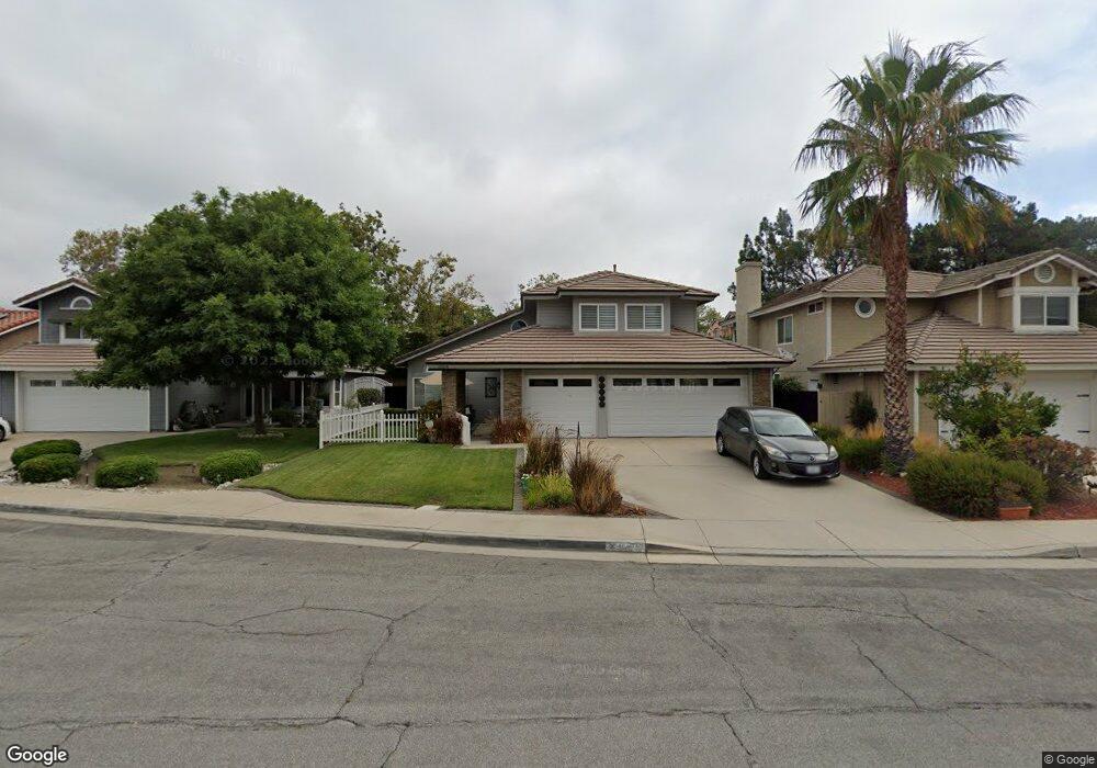
10918 Rollins Ct Rancho Cucamonga, CA 91701
Victoria NeighborhoodEstimated Value: $816,090 - $867,000
4
Beds
3
Baths
1,956
Sq Ft
$432/Sq Ft
Est. Value
About This Home
This home is located at 10918 Rollins Ct, Rancho Cucamonga, CA 91701 and is currently estimated at $844,773, approximately $431 per square foot. 10918 Rollins Ct is a home located in San Bernardino County with nearby schools including Victoria Groves Elementary, Vineyard Junior High, and Los Osos High.
Ownership History
Date
Name
Owned For
Owner Type
Purchase Details
Closed on
May 19, 2021
Sold by
Rodriguez Sergio and Smeins Christy
Bought by
Smeins Christy
Current Estimated Value
Home Financials for this Owner
Home Financials are based on the most recent Mortgage that was taken out on this home.
Original Mortgage
$337,500
Outstanding Balance
$305,381
Interest Rate
3%
Mortgage Type
New Conventional
Estimated Equity
$539,392
Purchase Details
Closed on
Jan 23, 2004
Sold by
Coates Jeanette
Bought by
Rodriguez Sergio and Smeins Christy
Home Financials for this Owner
Home Financials are based on the most recent Mortgage that was taken out on this home.
Original Mortgage
$296,000
Interest Rate
5.69%
Mortgage Type
Purchase Money Mortgage
Create a Home Valuation Report for This Property
The Home Valuation Report is an in-depth analysis detailing your home's value as well as a comparison with similar homes in the area
Home Values in the Area
Average Home Value in this Area
Purchase History
| Date | Buyer | Sale Price | Title Company |
|---|---|---|---|
| Smeins Christy | -- | First American Title Company | |
| Rodriguez Sergio | $370,000 | First American |
Source: Public Records
Mortgage History
| Date | Status | Borrower | Loan Amount |
|---|---|---|---|
| Open | Smeins Christy | $337,500 | |
| Previous Owner | Rodriguez Sergio | $296,000 | |
| Closed | Rodriguez Sergio | $19,000 |
Source: Public Records
Tax History
| Year | Tax Paid | Tax Assessment Tax Assessment Total Assessment is a certain percentage of the fair market value that is determined by local assessors to be the total taxable value of land and additions on the property. | Land | Improvement |
|---|---|---|---|---|
| 2025 | $7,268 | $582,936 | $142,179 | $440,757 |
| 2024 | $7,077 | $571,506 | $139,391 | $432,115 |
| 2023 | $6,897 | $560,300 | $136,658 | $423,642 |
| 2022 | $6,845 | $549,313 | $133,978 | $415,335 |
| 2021 | $6,749 | $538,542 | $131,351 | $407,191 |
| 2020 | $6,498 | $533,020 | $130,004 | $403,016 |
| 2019 | $6,564 | $522,569 | $127,455 | $395,114 |
| 2018 | $6,430 | $512,323 | $124,956 | $387,367 |
| 2017 | $6,152 | $502,278 | $122,506 | $379,772 |
| 2016 | $6,003 | $492,429 | $120,104 | $372,325 |
| 2015 | $6,019 | $485,032 | $118,300 | $366,732 |
| 2014 | $5,871 | $475,531 | $115,983 | $359,548 |
Source: Public Records
Map
Nearby Homes
- 11022 Carlow Ct
- 10830 Yolo St
- 7077 Campbell Place
- 11222 Cortland St
- 6771 Galveston Place
- 11224 Amarillo St
- 6587 Shawna Ave
- 11208 Wingate Dr
- 7168 Parkside Place
- 11320 Genova Rd
- 11356 Verona Dr
- 11189 Summerside Ln
- 10536 Deerfield Dr
- 10655 Lemon Ave Unit 1001
- 10655 Lemon Ave Unit 4009
- 10655 Lemon Ave Unit 1304
- 11238 Skyview Ln
- 7297 Meadowlark Place
- 6853 Pandino Ct
- 7373 Glenview Place
- 10926 Rollins Ct
- 10910 Rollins Ct
- 10902 Rollins Ct
- 10917 Rollins Ct
- 6699 Austin Ct
- 6694 Austin Ct
- 10925 Rollins Ct
- 10909 Rollins Ct
- 10901 Rollins Ct
- 6693 Austin Ct
- 6688 Austin Ct
- 6687 Austin Ct
- 6682 Austin Ct
- 10916 Kearney Ct
- 6681 Austin Ct
- 10924 Kearney Ct
- 10912 Kearney Ct
- 10985 Charleston St
- 6676 Austin Ct
- 10991 Charleston St
Your Personal Tour Guide
Ask me questions while you tour the home.