10919 W Mineral Point Rd Janesville, WI 53548
Estimated Value: $542,784 - $631,000
--
Bed
--
Bath
--
Sq Ft
60
Acres
About This Home
This home is located at 10919 W Mineral Point Rd, Janesville, WI 53548 and is currently estimated at $586,892. 10919 W Mineral Point Rd is a home located in Rock County with nearby schools including Parkview Elementary School, Parkview Junior High School, and Parkview High School.
Ownership History
Date
Name
Owned For
Owner Type
Purchase Details
Closed on
Jun 16, 2023
Sold by
Peterson Malory I and Peterson Y
Bought by
Peterson Joshua D and Peterson Y
Current Estimated Value
Purchase Details
Closed on
Aug 28, 2019
Sold by
Nelson Nils E and Nelson Nancy J
Bought by
Peterson Joshua D and Peterson Malory I
Home Financials for this Owner
Home Financials are based on the most recent Mortgage that was taken out on this home.
Original Mortgage
$235,875
Interest Rate
3.8%
Mortgage Type
New Conventional
Create a Home Valuation Report for This Property
The Home Valuation Report is an in-depth analysis detailing your home's value as well as a comparison with similar homes in the area
Home Values in the Area
Average Home Value in this Area
Purchase History
| Date | Buyer | Sale Price | Title Company |
|---|---|---|---|
| Peterson Joshua D | -- | -- | |
| Peterson Joshua D | $555,000 | None Available |
Source: Public Records
Mortgage History
| Date | Status | Borrower | Loan Amount |
|---|---|---|---|
| Previous Owner | Peterson Joshua D | $235,875 |
Source: Public Records
Tax History Compared to Growth
Tax History
| Year | Tax Paid | Tax Assessment Tax Assessment Total Assessment is a certain percentage of the fair market value that is determined by local assessors to be the total taxable value of land and additions on the property. | Land | Improvement |
|---|---|---|---|---|
| 2024 | $3,106 | $286,400 | $64,100 | $222,300 |
| 2023 | $3,253 | $285,700 | $63,400 | $222,300 |
| 2022 | $4,168 | $220,800 | $46,700 | $174,100 |
| 2021 | $4,185 | $221,400 | $47,300 | $174,100 |
| 2020 | $4,291 | $221,300 | $47,200 | $174,100 |
| 2019 | $4,289 | $199,000 | $42,800 | $156,200 |
| 2018 | $4,110 | $199,000 | $42,800 | $156,200 |
| 2017 | $3,803 | $199,000 | $42,800 | $156,200 |
| 2016 | $4,036 | $182,500 | $36,400 | $146,100 |
Source: Public Records
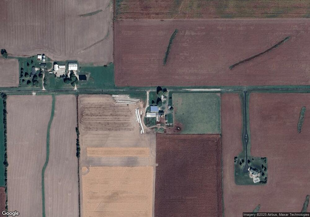
Map
Nearby Homes
- 205 Depot St
- 927 S Old 11
- 414 Ridge Ct
- 412 Ridge Ct
- 502 Ridge Ct
- 504 Ridge Ct
- 416 Ridge Ct
- 506 Ridge Ct
- 501 Ridge Ct
- LOT 60 Comfortcove St
- 2831 S Lucas St
- 207 N Main St
- LOTS Carroll Rd Highway 81
- 604 N Maple St
- 115 N Center St
- 516 E Beloit St
- 299 Teri Lee Ln
- 317 W Brodhead St
- 297 Teri Lee Ln
- 503 Teri Lee Ln
- 10749 W Mineral Point Rd
- 11104 W Mineral Point Rd
- 401 N Footville Rd
- 11209 W Mineral Point Rd
- 402 N Footville Rd
- 317 N Footville Rd
- 741 N Footville Rd
- 233 N Footville Rd
- 933 N Footville Rd
- 227 N Footville Rd
- 400 N Gilbert St
- 10328 W Mineral Point Rd
- 422 N Gilbert St
- 410 N Gilbert St
- 423 N Gilbert St
- 378 N Lone Rock Rd
- 435 N Gilbert St
- 385 N Gilbert St
- 372 N Gilbert St
- 372 N Gilbert St