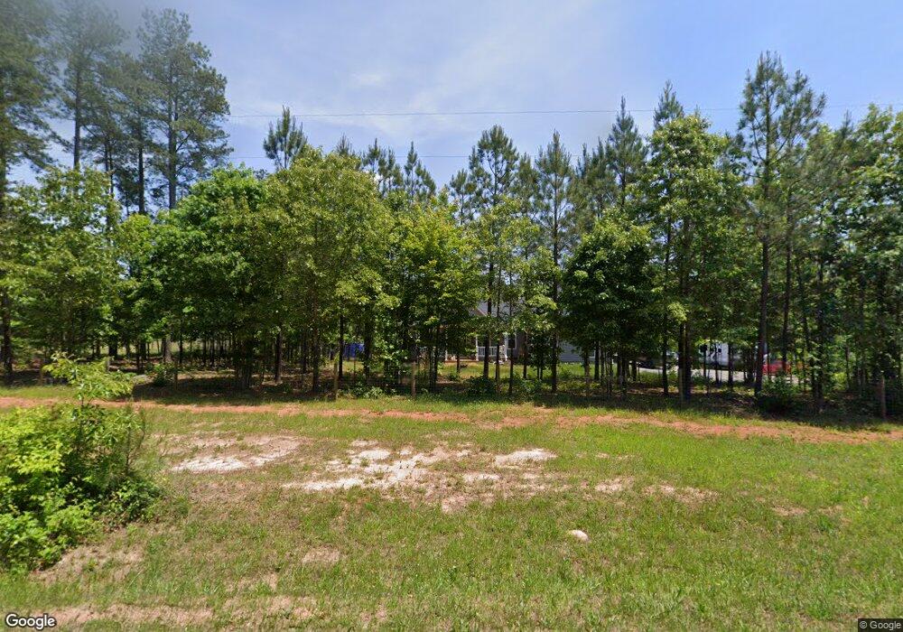
1092 Armistead Rd Nathalie, VA 24577
Estimated Value: $392,000 - $411,355
3
Beds
3
Baths
2,482
Sq Ft
$163/Sq Ft
Est. Value
About This Home
This home is located at 1092 Armistead Rd, Nathalie, VA 24577 and is currently estimated at $404,089, approximately $162 per square foot. 1092 Armistead Rd is a home located in Halifax County with nearby schools including Sydnor Jennings Elementary School, Halifax County Middle School, and Halifax County High School.
Ownership History
Date
Name
Owned For
Owner Type
Purchase Details
Closed on
Feb 1, 2022
Sold by
Calvin Toler Cecil and Calvin Arretta
Bought by
Strickland Brock and Strickland Storm
Current Estimated Value
Home Financials for this Owner
Home Financials are based on the most recent Mortgage that was taken out on this home.
Original Mortgage
$343,500
Outstanding Balance
$318,966
Interest Rate
3.55%
Mortgage Type
VA
Estimated Equity
$85,123
Purchase Details
Closed on
Jul 19, 2019
Sold by
Cms Investments Llc
Bought by
Toler Cecil Calvin and Toler Arretta
Home Financials for this Owner
Home Financials are based on the most recent Mortgage that was taken out on this home.
Original Mortgage
$46,363
Interest Rate
3.82%
Mortgage Type
New Conventional
Create a Home Valuation Report for This Property
The Home Valuation Report is an in-depth analysis detailing your home's value as well as a comparison with similar homes in the area
Home Values in the Area
Average Home Value in this Area
Purchase History
| Date | Buyer | Sale Price | Title Company |
|---|---|---|---|
| Strickland Brock | $343,500 | New Title Company Name | |
| Toler Cecil Calvin | $25,000 | None Available |
Source: Public Records
Mortgage History
| Date | Status | Borrower | Loan Amount |
|---|---|---|---|
| Open | Strickland Brock | $343,500 | |
| Previous Owner | Toler Cecil Calvin | $46,363 |
Source: Public Records
Tax History Compared to Growth
Tax History
| Year | Tax Paid | Tax Assessment Tax Assessment Total Assessment is a certain percentage of the fair market value that is determined by local assessors to be the total taxable value of land and additions on the property. | Land | Improvement |
|---|---|---|---|---|
| 2025 | $1,692 | $338,488 | $19,761 | $318,727 |
| 2024 | $1,692 | $338,488 | $19,761 | $318,727 |
| 2023 | $1,708 | $341,648 | $19,761 | $321,887 |
| 2022 | $902 | $180,321 | $19,761 | $160,560 |
| 2021 | $740 | $147,983 | $19,761 | $128,222 |
| 2020 | $99 | $19,761 | $19,761 | $0 |
| 2019 | $99 | $19,756 | $19,756 | $0 |
| 2018 | $95 | $19,756 | $19,756 | $0 |
| 2016 | $95 | $19,756 | $19,756 | $0 |
| 2015 | $95 | $19,756 | $19,756 | $0 |
| 2014 | $91 | $19,756 | $19,756 | $0 |
| 2013 | $89 | $19,756 | $19,756 | $0 |
Source: Public Records
Map
Nearby Homes
- 1120 Armistead Rd
- 1081 Lennig Rd
- 0 Bradley Creek Unit 313020
- 1180 Coles Ferry Rd
- L P Bailey Memorial Hwy
- 00 Church Rd
- 2052 Chisolm Trail
- Tract C Acorn Rd
- 1091 Acorn Rd
- 0 Chestnut Rd Unit 313027
- 1135 Acorn Rd
- 2211 Coles Ferry Rd
- 10 Acres Hunting Creek Rd
- 0 Rabat Rd Unit 8130-2
- 4147 Hunting Creek Rd
- 0 T N Snow Rd
- TBD T N Snow Rd Unit 7
- 1 Coles Ferry Rd
- 0 Coles Ferry Rd Unit 361676
- 1225 Crystal Hill Rd
- 1084 Armistead Rd
- 1074 Armistead Rd
- 1151 Armistead Rd
- 1098 Armistead Rd
- 1122 Armistead Rd
- 1064 Armistead Rd
- 2074 Lennig Rd
- 2078 Lennig Rd
- 1244 Lennig Rd
- 2086 Lennig Rd
- 2002 Armistead Rd
- 2070 Lennig Rd
- 1200 Lennig Rd
- 1052 Tuck Trail
- 1070 Tuck Trail
- 1014 Tuck Trail
- 1049 Tuck Trail
- 1025 Tuck Trail
- 1025 Tuck Rd
- 1192 Lennig Rd