1092 Chesapeake Pointe Dr Unit 335 Lafayette, IN 47909
Estimated Value: $467,364 - $542,000
3
Beds
2
Baths
2,474
Sq Ft
$200/Sq Ft
Est. Value
About This Home
This home is located at 1092 Chesapeake Pointe Dr Unit 335, Lafayette, IN 47909 and is currently estimated at $495,591, approximately $200 per square foot. 1092 Chesapeake Pointe Dr Unit 335 is a home located in Tippecanoe County with nearby schools including Mintonye Elementary School, Southwestern Middle School, and McCutcheon High School.
Ownership History
Date
Name
Owned For
Owner Type
Purchase Details
Closed on
Oct 18, 2019
Sold by
Sterling Group Of Indiana Inc
Bought by
Maynard Timothy S and Maynard Selena S
Current Estimated Value
Home Financials for this Owner
Home Financials are based on the most recent Mortgage that was taken out on this home.
Original Mortgage
$305,500
Outstanding Balance
$268,719
Interest Rate
3.7%
Mortgage Type
New Conventional
Estimated Equity
$226,872
Purchase Details
Closed on
Mar 18, 2019
Sold by
Ab Squared Llc
Bought by
Sterling Group Indiana Inc
Create a Home Valuation Report for This Property
The Home Valuation Report is an in-depth analysis detailing your home's value as well as a comparison with similar homes in the area
Home Values in the Area
Average Home Value in this Area
Purchase History
| Date | Buyer | Sale Price | Title Company |
|---|---|---|---|
| Maynard Timothy S | -- | Columbia Title Inc | |
| Sterling Group Indiana Inc | -- | None Available |
Source: Public Records
Mortgage History
| Date | Status | Borrower | Loan Amount |
|---|---|---|---|
| Open | Maynard Timothy S | $305,500 |
Source: Public Records
Tax History Compared to Growth
Tax History
| Year | Tax Paid | Tax Assessment Tax Assessment Total Assessment is a certain percentage of the fair market value that is determined by local assessors to be the total taxable value of land and additions on the property. | Land | Improvement |
|---|---|---|---|---|
| 2024 | $2,934 | $379,600 | $64,000 | $315,600 |
| 2023 | $2,707 | $359,600 | $64,000 | $295,600 |
| 2022 | $2,756 | $331,400 | $64,000 | $267,400 |
| 2021 | $2,559 | $310,200 | $64,000 | $246,200 |
| 2020 | $2,382 | $295,300 | $64,000 | $231,300 |
| 2019 | $5 | $400 | $400 | $0 |
Source: Public Records
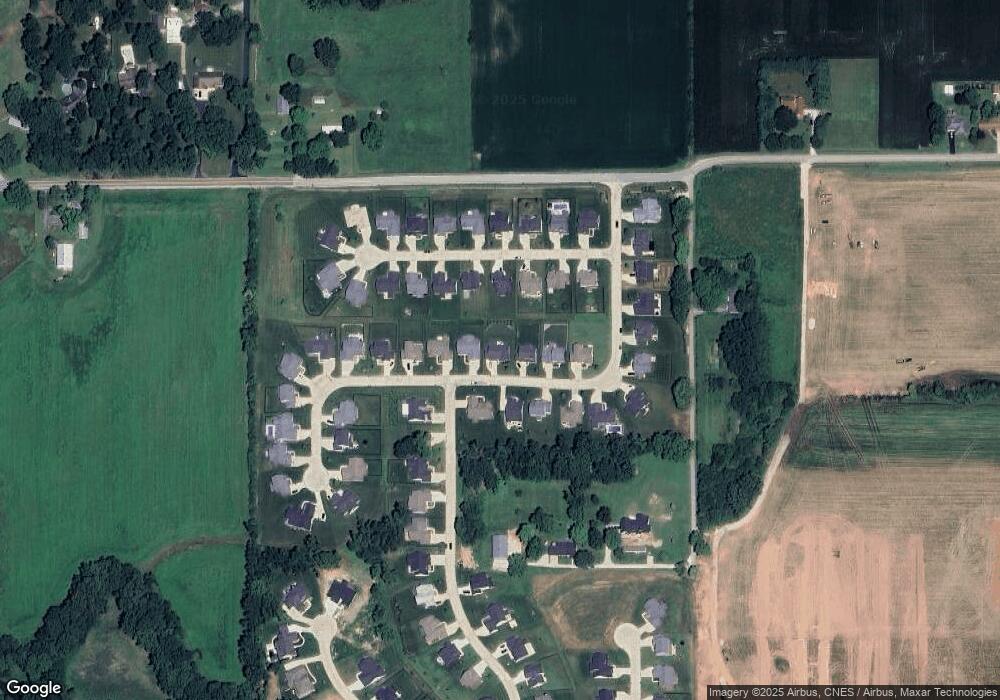
Map
Nearby Homes
- 825 Drydock Dr
- 809 Ravenstone Dr
- 4336 Admirals Cove Dr
- 4254-4268 Admirals Cove Dr
- 892 Ravenstone Dr
- 1062 N Admirals Pointe Dr
- 880 Drydock Dr
- 857 Ravenstone Dr
- 825 Ravenstone Dr
- 775 N Admirals Pointe Dr
- 4654 Flagship Ln
- 4545 S 175 W
- 4901 Chickadee Dr
- 0 W 500 S
- 228 Buckingham Cir
- 4108 Westwind Dr
- 603 W 500 S
- 4902 Osprey Ct
- 894 Drydock Dr
- 214 Mccutcheon Dr
- 1092 Chesapeake Pointe Dr Unit 335
- 1092 Chesapeake Pointe Dr
- 1080 Chesapeake Pointe Dr Unit 336
- 1080 Chesapeake Pointe Dr
- 1108 Chesapeake Pointe Dr Unit 334
- 1093 Chesapeake Cove Dr
- 1105 Chesapeake Cove Dr
- 1066 Chesapeake Pointe Dr Unit 337
- 1066 Chesapeake Pointe Dr
- 1120 Chesapeake Pointe Dr Unit 333
- 1120 Chesapeake Pointe Dr Unit 333
- 1120 Chesapeake Pointe Dr
- 1119 Chesapeake Cove Dr
- 1087 Chesapeake Pointe Dr
- 1103 Chesapeake Pointe Dr
- 1132 Chesapeake Pointe Dr
- 1073 Chesapeake Pointe Dr
- 1048 Chesapeake Pointe Dr
- 4140 Admirals Pointe Dr Unit 318
- 4140 Admirals Pointe Dr