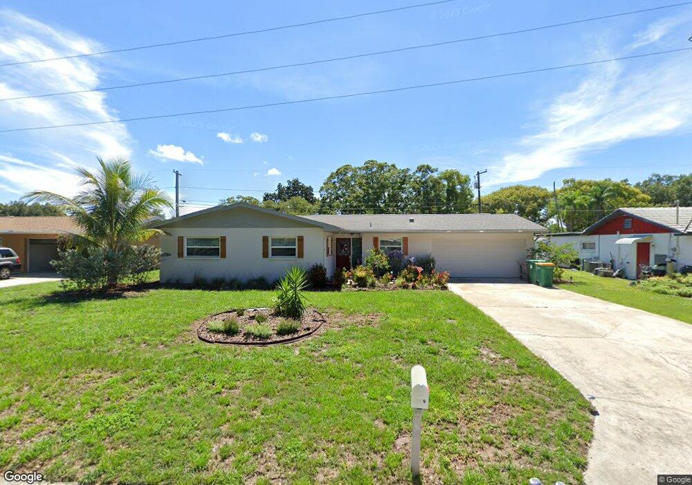
1092 Porter Dr Largo, FL 33771
North Largo NeighborhoodEstimated Value: $432,000 - $626,000
3
Beds
2
Baths
2,008
Sq Ft
$245/Sq Ft
Est. Value
About This Home
This home is located at 1092 Porter Dr, Largo, FL 33771 and is currently estimated at $491,865, approximately $244 per square foot. 1092 Porter Dr is a home located in Pinellas County with nearby schools including Largo High School, Belcher Elementary School, and Largo Middle School.
Ownership History
Date
Name
Owned For
Owner Type
Purchase Details
Closed on
Jan 11, 2017
Sold by
Comapny Sherrick Contracing
Bought by
Ambs Lestie D
Current Estimated Value
Home Financials for this Owner
Home Financials are based on the most recent Mortgage that was taken out on this home.
Original Mortgage
$266,000
Outstanding Balance
$218,389
Interest Rate
4.16%
Mortgage Type
VA
Estimated Equity
$273,476
Purchase Details
Closed on
Aug 1, 2016
Bought by
Ambs Leslie D
Purchase Details
Closed on
Aug 5, 2015
Sold by
Cameron Nicole M
Bought by
Ftb Partners Llc and Guardian Land Trust 1092
Purchase Details
Closed on
Oct 2, 1995
Sold by
Doscher Warren A and Doscher Jeanne H
Bought by
Zalampas Athanasi M and Zalampas Diane
Home Financials for this Owner
Home Financials are based on the most recent Mortgage that was taken out on this home.
Original Mortgage
$78,300
Interest Rate
7.72%
Create a Home Valuation Report for This Property
The Home Valuation Report is an in-depth analysis detailing your home's value as well as a comparison with similar homes in the area
Home Values in the Area
Average Home Value in this Area
Purchase History
| Date | Buyer | Sale Price | Title Company |
|---|---|---|---|
| Ambs Lestie D | $266,000 | First American Title Insuran | |
| Ambs Leslie D | $151,300 | -- | |
| Ftb Partners Llc | $171,500 | Attorney | |
| Zalampas Athanasi M | $82,500 | -- |
Source: Public Records
Mortgage History
| Date | Status | Borrower | Loan Amount |
|---|---|---|---|
| Open | Ambs Lestie D | $266,000 | |
| Previous Owner | Zalampas Athanasi M | $78,300 |
Source: Public Records
Tax History
| Year | Tax Paid | Tax Assessment Tax Assessment Total Assessment is a certain percentage of the fair market value that is determined by local assessors to be the total taxable value of land and additions on the property. | Land | Improvement |
|---|---|---|---|---|
| 2025 | $3,500 | $246,648 | -- | -- |
| 2024 | $3,507 | $239,697 | -- | -- |
| 2023 | $3,507 | $232,716 | $0 | $0 |
| 2022 | $3,459 | $225,938 | $0 | $0 |
| 2021 | $3,541 | $219,357 | $0 | $0 |
| 2020 | $3,554 | $216,328 | $0 | $0 |
| 2019 | $3,522 | $211,464 | $0 | $0 |
| 2018 | $3,505 | $207,521 | $0 | $0 |
| 2017 | $4,509 | $205,129 | $0 | $0 |
| 2016 | $3,228 | $143,244 | $0 | $0 |
| 2015 | $2,791 | $120,615 | $0 | $0 |
| 2014 | $1,225 | $91,018 | $0 | $0 |
Source: Public Records
Map
Nearby Homes
- 947 Sousa Dr
- 1012 Irene Ave
- 1110 Irene Ave
- 925 Irene Ave
- 1895 Del Robles Terrace
- 3075 Rosery Rd NE
- 1877 Del Robles Dr
- 1992 Arvis Cir E
- 2453 Roberta St
- 1862 Del Robles Dr
- 2601 Oakwood Dr
- 1056 Keene Rd
- 1849 Del Robles Dr
- 921 Deville Dr E
- 1954 Arvis Cir W
- 546 Forest Pkwy E
- 869 Deville Dr E
- 1950 Arvis Cir W
- 732 Keene Rd
- 853 Seacrest Dr
- 1124 Porter Dr
- 1068 Porter Dr
- 1091 Victor Herbert Dr
- 1146 Porter Dr
- 1049 Victor Herbert Dr
- 1093 Porter Dr
- 1123 Victor Herbert Dr
- 1125 Porter Dr
- 1069 Porter Dr
- 1043 Victor Herbert Dr
- 1145 Victor Herbert Dr
- 1147 Porter Dr
- 1170 Porter Dr
- 1045 Porter Dr
- 1016 Porter Dr
- 1092 Sousa Dr
- 1015 Victor Herbert Dr
- 1068 Sousa Dr
- 1147 Victor Herbert Dr
- 1171 Porter Dr
Your Personal Tour Guide
Ask me questions while you tour the home.