1092 Reed St West Warren, MA 01092
Estimated Value: $410,000 - $591,684
3
Beds
3
Baths
2,628
Sq Ft
$196/Sq Ft
Est. Value
About This Home
This home is located at 1092 Reed St, West Warren, MA 01092 and is currently estimated at $515,921, approximately $196 per square foot. 1092 Reed St is a home with nearby schools including Quaboag Regional High School.
Ownership History
Date
Name
Owned For
Owner Type
Purchase Details
Closed on
Oct 4, 2019
Sold by
Baldwin Shawn B
Bought by
Baldwin Shawn B and Baldwin Shannon
Current Estimated Value
Purchase Details
Closed on
Sep 25, 2017
Sold by
Baldwin Shawn B and Baldwin Angela
Bought by
Baldwin Shawn B
Purchase Details
Closed on
Jan 7, 2002
Sold by
Cloutier Arthur S and Cloutier Lissa A
Bought by
Baldwin Shawn B
Home Financials for this Owner
Home Financials are based on the most recent Mortgage that was taken out on this home.
Original Mortgage
$53,600
Interest Rate
6.72%
Mortgage Type
Purchase Money Mortgage
Create a Home Valuation Report for This Property
The Home Valuation Report is an in-depth analysis detailing your home's value as well as a comparison with similar homes in the area
Home Values in the Area
Average Home Value in this Area
Purchase History
| Date | Buyer | Sale Price | Title Company |
|---|---|---|---|
| Baldwin Shawn B | -- | -- | |
| Baldwin Shawn B | -- | -- | |
| Baldwin Shawn B | $33,000 | -- |
Source: Public Records
Mortgage History
| Date | Status | Borrower | Loan Amount |
|---|---|---|---|
| Previous Owner | Baldwin Shawn B | $234,000 | |
| Previous Owner | Baldwin Shawn B | $53,600 |
Source: Public Records
Tax History Compared to Growth
Tax History
| Year | Tax Paid | Tax Assessment Tax Assessment Total Assessment is a certain percentage of the fair market value that is determined by local assessors to be the total taxable value of land and additions on the property. | Land | Improvement |
|---|---|---|---|---|
| 2025 | $7,492 | $505,900 | $98,000 | $407,900 |
| 2024 | $7,624 | $505,900 | $98,000 | $407,900 |
| 2023 | $7,489 | $474,000 | $98,000 | $376,000 |
| 2022 | $6,090 | $391,400 | $75,100 | $316,300 |
| 2021 | $935 | $374,500 | $71,000 | $303,500 |
| 2020 | $6,526 | $353,500 | $71,000 | $282,500 |
| 2019 | $6,106 | $336,400 | $70,900 | $265,500 |
| 2018 | $5,826 | $336,400 | $70,900 | $265,500 |
| 2017 | $6,062 | $326,600 | $73,700 | $252,900 |
| 2016 | $6,218 | $313,400 | $70,300 | $243,100 |
| 2015 | $5,618 | $299,600 | $70,300 | $229,300 |
| 2014 | $5,768 | $302,000 | $70,300 | $231,700 |
Source: Public Records
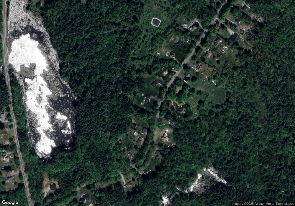
Map
Nearby Homes
- 0 Brimfield Rd Unit 73426061
- Lot 3C Crouch Rd
- 0 Lyman Barnes Rd
- Lot 3 Reed St
- Lot 7 Reed St
- Lot 6 Reed St
- Lot 4 Reed St
- Lot 3 Brimfield Rd
- Lot 5 Brimfield Rd
- 6 Presidential Cir
- 1154 Dunhamtown Brimfield Rd
- 233 Maple St
- 18 North St
- 24 North St
- 47 North St
- 44 Mill St
- 366 Southbridge Rd
- 59 Dean St Unit B
- 72 Maple St
- 21 Hitchcock Ave