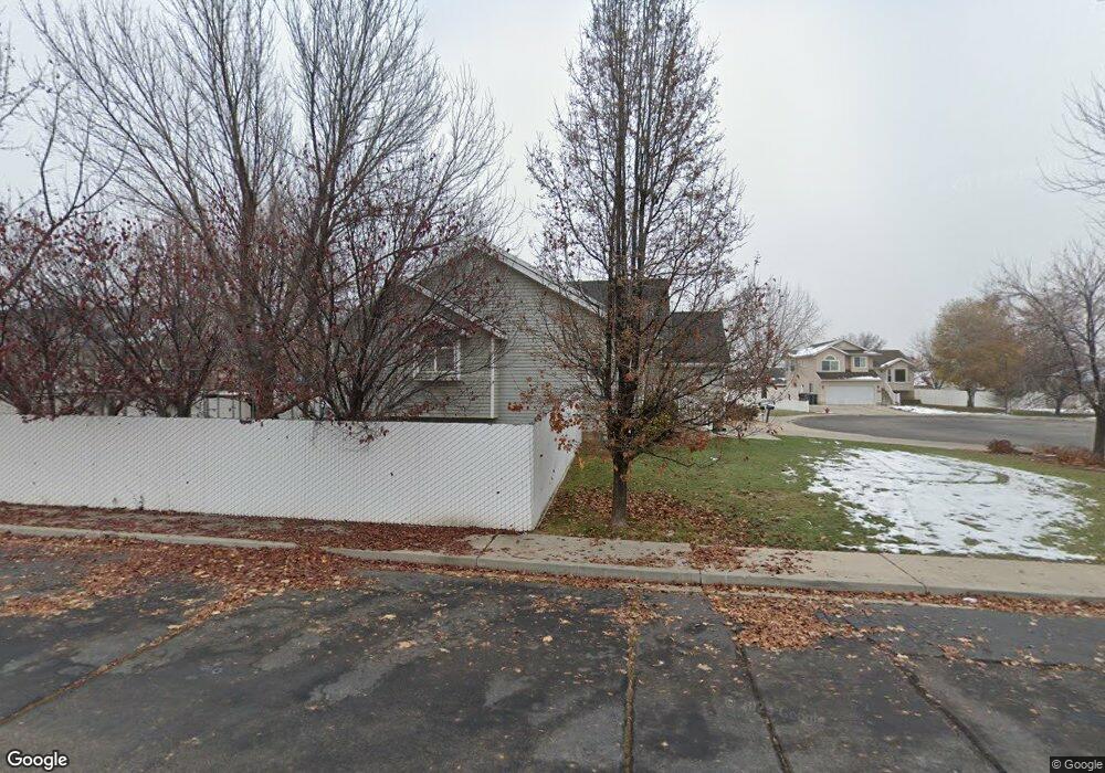
1092 W 910 N Pleasant Grove, UT 84062
Estimated Value: $538,000 - $565,000
4
Beds
3
Baths
1,804
Sq Ft
$305/Sq Ft
Est. Value
About This Home
This home is located at 1092 W 910 N, Pleasant Grove, UT 84062 and is currently estimated at $549,962, approximately $304 per square foot. 1092 W 910 N is a home located in Utah County with nearby schools including Mount Mahogany School, Pleasant Grove Junior High School, and Pleasant Grove High School.
Ownership History
Date
Name
Owned For
Owner Type
Purchase Details
Closed on
Apr 28, 2025
Sold by
Fondren Dierdre Ann
Bought by
Dierdre Fondren 2025 Living Trust and Fondren
Current Estimated Value
Purchase Details
Closed on
Sep 1, 2013
Sold by
Nicholson James M and Nicholson Jenny A
Bought by
Forsyth Jeffrey T and Mckown Melissa A
Purchase Details
Closed on
Nov 30, 2005
Sold by
Keiser Thomas A and Mansfield Lucinda T
Bought by
Nicholson James M and Nicholson Jenny A
Home Financials for this Owner
Home Financials are based on the most recent Mortgage that was taken out on this home.
Original Mortgage
$28,350
Interest Rate
5.86%
Mortgage Type
Stand Alone Second
Purchase Details
Closed on
Sep 9, 1997
Sold by
Keiser Tom and Mansfield Lucinda
Bought by
Keiser Thomas A and Mansfield Lucinda T
Home Financials for this Owner
Home Financials are based on the most recent Mortgage that was taken out on this home.
Original Mortgage
$65,000
Interest Rate
7.34%
Create a Home Valuation Report for This Property
The Home Valuation Report is an in-depth analysis detailing your home's value as well as a comparison with similar homes in the area
Home Values in the Area
Average Home Value in this Area
Purchase History
| Date | Buyer | Sale Price | Title Company |
|---|---|---|---|
| Dierdre Fondren 2025 Living Trust | -- | None Listed On Document | |
| Fondren Dierdre Ann | -- | None Listed On Document | |
| Forsyth Jeffrey T | -- | Provo Land Title Co | |
| Nicholson James M | -- | Equity Title | |
| Keiser Thomas A | -- | Provo Land Title |
Source: Public Records
Mortgage History
| Date | Status | Borrower | Loan Amount |
|---|---|---|---|
| Previous Owner | Nicholson James M | $28,350 | |
| Previous Owner | Nicholson James M | $151,200 | |
| Previous Owner | Keiser Thomas A | $65,000 |
Source: Public Records
Tax History Compared to Growth
Tax History
| Year | Tax Paid | Tax Assessment Tax Assessment Total Assessment is a certain percentage of the fair market value that is determined by local assessors to be the total taxable value of land and additions on the property. | Land | Improvement |
|---|---|---|---|---|
| 2025 | $2,136 | $261,635 | $199,400 | $276,300 |
| 2024 | $2,136 | $249,260 | $0 | $0 |
| 2023 | $2,051 | $250,635 | $0 | $0 |
| 2022 | $2,231 | $271,205 | $0 | $0 |
| 2021 | $1,977 | $365,900 | $133,500 | $232,400 |
| 2020 | $1,811 | $328,600 | $119,200 | $209,400 |
| 2019 | $1,587 | $297,800 | $115,600 | $182,200 |
| 2018 | $1,513 | $268,500 | $108,400 | $160,100 |
| 2017 | $1,425 | $134,585 | $0 | $0 |
| 2016 | $1,376 | $125,510 | $0 | $0 |
| 2015 | $1,344 | $116,050 | $0 | $0 |
| 2014 | $1,319 | $112,860 | $0 | $0 |
Source: Public Records
Map
Nearby Homes
- 909 W 1180 N
- 1096 N 1420 St W Unit 27
- 1443 W 1010 N
- 685 W 1000 N
- 1065 N 1420 W
- 1491 W 1010 N
- 1130 W State Rd
- 1515 W 1010 St N
- 1498 W 1060 N Unit 5
- Lytham Plan at Grove Acres
- 1171 N 1430 W
- 1541 W 1060 N
- 1320 W 1340 N
- 1598 W 220 N
- Konlee Plan at Makin Dreams
- Alexa Plan at Makin Dreams
- Callahan Plan at Makin Dreams
- Hailey Plan at Makin Dreams
- Alydia Plan at Makin Dreams
- Addison Plan at Makin Dreams