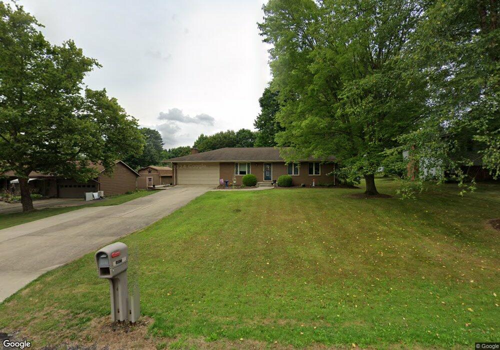
10922 Julie St NE Alliance, OH 44601
Estimated Value: $233,824 - $279,000
3
Beds
2
Baths
1,463
Sq Ft
$173/Sq Ft
Est. Value
About This Home
This home is located at 10922 Julie St NE, Alliance, OH 44601 and is currently estimated at $253,706, approximately $173 per square foot. 10922 Julie St NE is a home located in Stark County with nearby schools including Marlington High School and Regina Coeli/St Joseph School.
Ownership History
Date
Name
Owned For
Owner Type
Purchase Details
Closed on
May 7, 2008
Sold by
Greenwald Gary A and Greenwald Richard L
Bought by
Danford Alesia M
Current Estimated Value
Home Financials for this Owner
Home Financials are based on the most recent Mortgage that was taken out on this home.
Original Mortgage
$93,600
Outstanding Balance
$59,276
Interest Rate
5.88%
Mortgage Type
Purchase Money Mortgage
Estimated Equity
$194,430
Purchase Details
Closed on
May 16, 2003
Sold by
Greenwald George A and Greenwald Dorothy
Bought by
Greenwald George A and Greenwald Dorothy M
Create a Home Valuation Report for This Property
The Home Valuation Report is an in-depth analysis detailing your home's value as well as a comparison with similar homes in the area
Home Values in the Area
Average Home Value in this Area
Purchase History
| Date | Buyer | Sale Price | Title Company |
|---|---|---|---|
| Danford Alesia M | $117,000 | Quest Title Agency Inc | |
| Greenwald George A | -- | -- |
Source: Public Records
Mortgage History
| Date | Status | Borrower | Loan Amount |
|---|---|---|---|
| Open | Danford Alesia M | $93,600 |
Source: Public Records
Tax History Compared to Growth
Tax History
| Year | Tax Paid | Tax Assessment Tax Assessment Total Assessment is a certain percentage of the fair market value that is determined by local assessors to be the total taxable value of land and additions on the property. | Land | Improvement |
|---|---|---|---|---|
| 2025 | -- | $72,520 | $18,550 | $53,970 |
| 2024 | -- | $72,520 | $18,550 | $53,970 |
| 2023 | $1,999 | $56,740 | $9,870 | $46,870 |
| 2022 | $2,007 | $56,740 | $9,870 | $46,870 |
| 2021 | $2,013 | $56,740 | $9,870 | $46,870 |
| 2020 | $1,921 | $48,240 | $8,510 | $39,730 |
| 2019 | $1,907 | $48,240 | $8,510 | $39,730 |
| 2018 | $1,910 | $48,240 | $8,510 | $39,730 |
| 2017 | $1,826 | $43,170 | $8,090 | $35,080 |
| 2016 | $1,773 | $41,940 | $8,090 | $33,850 |
| 2015 | $1,688 | $41,940 | $8,090 | $33,850 |
| 2014 | $1,541 | $34,970 | $6,760 | $28,210 |
| 2013 | $767 | $34,970 | $6,760 | $28,210 |
Source: Public Records
Map
Nearby Homes
- 0 Meadow St NE
- 13334 Cindy St NE
- 13061 Beeson St NE
- 11480 Aebi Ave NE
- 10666 Wilma Ave NE
- 0 W Main St Unit 5090123
- 11940 Freshley Ave NE
- 11960 Freshley Ave NE
- 000 Klinger Ave
- 13109 Edison St NE
- 0 Klinger Ave NE
- 432 Johnson Ave
- 14422 Sturbridge Rd NE
- 0 Johnson Ave NE Unit 5142926
- 12355 Edison St NE
- 0 Homestead Ave NE
- 0 Meadowbrook Ave
- 1430 Westwood Ave
- 2081 Marwood Cir
- 14723 Bolton St NE
- 10940 Julie St NE
- 10906 Julie St NE
- 10956 Julie St NE
- 10925 Hazelview Ave NE
- 10901 Hazelview Ave NE
- 10945 Hazelview Ave NE
- 10919 Julie St NE
- 10939 Julie St NE
- 10876 Julie St NE
- 10978 Julie St NE
- 10965 Hazelview Ave NE
- 10955 Julie St NE
- 10877 Hazelview Ave NE
- 10877 Julie St NE
- 13191 Meadow St NE
- 10854 Julie St NE
- 13194 Meadow St NE
- 13288 Vine St NE
- 11000 Julie St NE
- 10861 Hazelview Ave NE