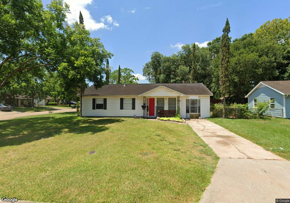
10922 Ritow St Houston, TX 77089
Southbelt-Ellington NeighborhoodEstimated Value: $200,261 - $236,000
3
Beds
1
Bath
1,500
Sq Ft
$147/Sq Ft
Est. Value
About This Home
This home is located at 10922 Ritow St, Houston, TX 77089 and is currently estimated at $221,065, approximately $147 per square foot. 10922 Ritow St is a home located in Harris County with nearby schools including Meador Elementary School, Morris Middle School, and Beverly Hill Intermediate School.
Ownership History
Date
Name
Owned For
Owner Type
Purchase Details
Closed on
May 29, 1998
Sold by
Dunstan Connie Ann
Bought by
Stevens Eujean and Stevens Pamela
Current Estimated Value
Home Financials for this Owner
Home Financials are based on the most recent Mortgage that was taken out on this home.
Original Mortgage
$34,400
Interest Rate
7.22%
Create a Home Valuation Report for This Property
The Home Valuation Report is an in-depth analysis detailing your home's value as well as a comparison with similar homes in the area
Home Values in the Area
Average Home Value in this Area
Purchase History
| Date | Buyer | Sale Price | Title Company |
|---|---|---|---|
| Stevens Eujean | -- | Texas American Title Company |
Source: Public Records
Mortgage History
| Date | Status | Borrower | Loan Amount |
|---|---|---|---|
| Closed | Stevens Eujean | $34,400 |
Source: Public Records
Tax History Compared to Growth
Tax History
| Year | Tax Paid | Tax Assessment Tax Assessment Total Assessment is a certain percentage of the fair market value that is determined by local assessors to be the total taxable value of land and additions on the property. | Land | Improvement |
|---|---|---|---|---|
| 2025 | $2,575 | $174,563 | $54,570 | $119,993 |
| 2024 | $2,575 | $177,200 | $54,570 | $122,630 |
| 2023 | $2,575 | $177,200 | $54,570 | $122,630 |
| 2022 | $3,736 | $159,486 | $54,570 | $104,916 |
| 2021 | $3,564 | $132,668 | $38,817 | $93,851 |
| 2020 | $3,397 | $125,705 | $38,017 | $87,688 |
| 2019 | $3,248 | $120,746 | $28,759 | $91,987 |
| 2018 | $971 | $102,428 | $28,013 | $74,415 |
| 2017 | $2,802 | $102,428 | $28,013 | $74,415 |
| 2016 | $2,547 | $93,959 | $28,013 | $65,946 |
| 2015 | $1,684 | $84,083 | $20,009 | $64,074 |
| 2014 | $1,684 | $79,360 | $20,009 | $59,351 |
Source: Public Records
Map
Nearby Homes
- 10906 Keese Dr
- 10815 Ritow St
- 11311 Caribbean Ln
- 11303 Caribbean Ln
- 9743 Santa Monica Blvd
- 10207 Rambling Trail
- 10214 Buena Park Dr
- 9711 Ebb St
- 10619 Wheaton Dr
- 11414 Kirkwyn Dr
- 10442 Southport Dr
- 10614 Sabo Rd
- 10018 Ramey St
- 10507 Kirkhill Dr
- 11433 Sabo Rd
- 9914 Sumerlin St
- 10211 Glenmawr Dr
- 10519 Kirkglen Dr
- 10406 Sagestar Ln
- 10410 Sagestar Ln
- 10918 Ritow St
- 10931 Eddyrock St
- 10927 Eddyrock St
- 10914 Ritow St
- 10034 Santa Monica Blvd
- 10923 Eddyrock St
- 10030 Santa Monica Blvd
- 10923 Ritow St
- 10919 Ritow St
- 10026 Santa Monica Blvd
- 10919 Eddyrock St
- 10102 Santa Monica Blvd
- 10915 Ritow St
- 10910 Ritow St
- 10022 Santa Monica Blvd
- 10915 Eddyrock St
- 10911 Ritow St
- 10106 Santa Monica Blvd
- 10018 Santa Monica Blvd
- 10911 Eddyrock St