10925 U S 19 Dahlonega, GA 30533
Estimated Value: $2,793,052 - $5,236,000
7
Beds
6
Baths
8,204
Sq Ft
$531/Sq Ft
Est. Value
About This Home
This home is located at 10925 U S 19, Dahlonega, GA 30533 and is currently estimated at $4,354,017, approximately $530 per square foot. 10925 U S 19 is a home located in Lumpkin County with nearby schools including Lumpkin County High School.
Ownership History
Date
Name
Owned For
Owner Type
Purchase Details
Closed on
Jan 24, 2025
Sold by
Black Mary Ann
Bought by
Dailey Jordan and Dailey Stephanie
Current Estimated Value
Home Financials for this Owner
Home Financials are based on the most recent Mortgage that was taken out on this home.
Original Mortgage
$350,000
Outstanding Balance
$347,896
Interest Rate
6.85%
Mortgage Type
New Conventional
Estimated Equity
$4,006,121
Purchase Details
Closed on
Jun 1, 1985
Sold by
Black Ralph E
Bought by
Black Ralph E
Purchase Details
Closed on
Jan 1, 1983
Bought by
Black Ralph E
Create a Home Valuation Report for This Property
The Home Valuation Report is an in-depth analysis detailing your home's value as well as a comparison with similar homes in the area
Home Values in the Area
Average Home Value in this Area
Purchase History
| Date | Buyer | Sale Price | Title Company |
|---|---|---|---|
| Dailey Jordan | $5,000,000 | -- | |
| Black Ralph E | -- | -- | |
| Black Ralph E | -- | -- |
Source: Public Records
Mortgage History
| Date | Status | Borrower | Loan Amount |
|---|---|---|---|
| Open | Dailey Jordan | $350,000 |
Source: Public Records
Tax History Compared to Growth
Tax History
| Year | Tax Paid | Tax Assessment Tax Assessment Total Assessment is a certain percentage of the fair market value that is determined by local assessors to be the total taxable value of land and additions on the property. | Land | Improvement |
|---|---|---|---|---|
| 2024 | $25,204 | $1,176,006 | $115,815 | $1,060,191 |
| 2023 | $32,966 | $1,418,538 | $98,870 | $1,319,668 |
| 2022 | $15,781 | $684,031 | $54,928 | $629,103 |
| 2021 | $8,565 | $385,311 | $54,927 | $330,384 |
| 2020 | $8,657 | $376,730 | $52,634 | $324,096 |
| 2019 | $106 | $52,634 | $52,634 | $0 |
| 2018 | $109 | $52,634 | $52,634 | $0 |
| 2017 | $108 | $52,634 | $52,634 | $0 |
| 2016 | $109 | $52,634 | $52,634 | $0 |
| 2015 | -- | $52,634 | $52,634 | $0 |
Source: Public Records
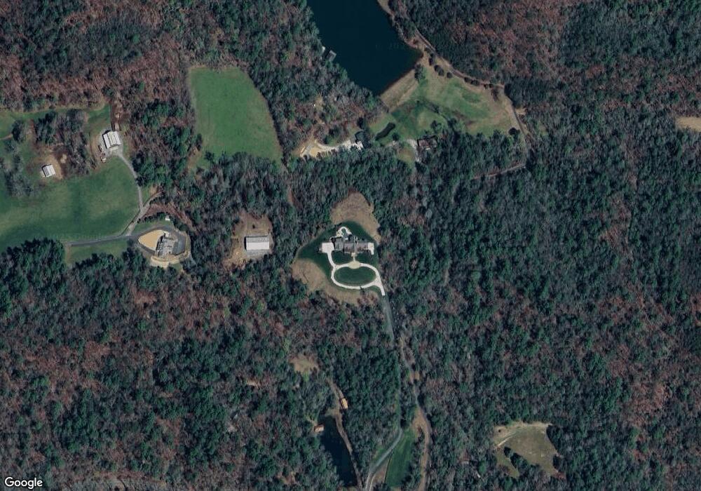
Map
Nearby Homes
- 11161 Highway 19 N
- 0 Ts Jarrard Rd Unit Tract 3
- T S T S Jarrard Rd
- 31 Pine Rd
- 129 Pine Rd
- 0 Damascus Church Rd Unit 21674636
- 86 Yonah View
- 180 Alonzo Cain Rd
- 105 Yonah View
- 399 Ranch Mountain Dr
- 105 Ranch Mountain Ct
- 265 Hound Dog Ln
- 310 Highland Trail
- 169 Dunns Rd
- 412 Fireside Ridge Dr
- 18 Rustin Ridge
- 24 Rustin Ridge
- 26 Rustin Ridge
- 0 Highway 129 N Unit 10656269
- 133 Elkmont Dr
- 514 Carlin Cove
- 10771 Highway 19 N
- 376 Cedar View
- 10999 Highway 19 N
- 11143 Highway 19 N
- 10972 Highway 19 N
- 11110 Highway 19 N
- 89 Ts Jarrard Rd
- 0 Ts Jarrard Rd Unit TRACT 3
- T Ts Jarrard Rd
- 197 Ts Jarrard Rd
- 11241 Highway 19 N
- 332 Ts Jarrard Rd
- 0 T S Jarrard Rd
- 219 Corbin Ln
- 133 Corbin Ln
- 379 Ts Jarrard Rd
- 11297 Highway 19 N
- 368 Ts Jarrard Rd
- 395 Willow Pond Rd