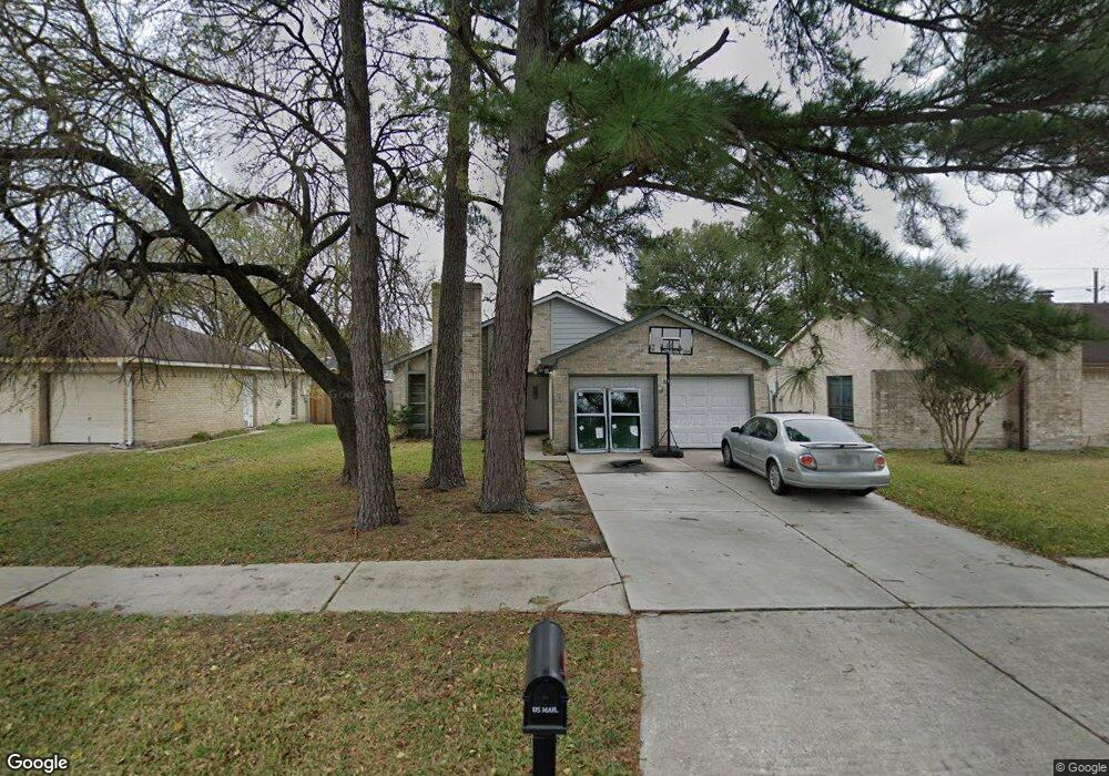
10926 Mackenzie Dr Houston, TX 77086
North Houston NeighborhoodEstimated Value: $198,004 - $243,000
3
Beds
2
Baths
1,235
Sq Ft
$182/Sq Ft
Est. Value
About This Home
This home is located at 10926 Mackenzie Dr, Houston, TX 77086 and is currently estimated at $225,001, approximately $182 per square foot. 10926 Mackenzie Dr is a home located in Harris County with nearby schools including Kujawa EC/Pre-K/K School, Carmichael Elementary School, and Shotwell Middle School.
Ownership History
Date
Name
Owned For
Owner Type
Purchase Details
Closed on
Aug 2, 2004
Sold by
Garcia Federico and Garcia Susan S
Bought by
Romero Joe Y
Current Estimated Value
Home Financials for this Owner
Home Financials are based on the most recent Mortgage that was taken out on this home.
Original Mortgage
$75,000
Outstanding Balance
$37,117
Interest Rate
5.97%
Mortgage Type
Seller Take Back
Estimated Equity
$187,884
Create a Home Valuation Report for This Property
The Home Valuation Report is an in-depth analysis detailing your home's value as well as a comparison with similar homes in the area
Home Values in the Area
Average Home Value in this Area
Purchase History
| Date | Buyer | Sale Price | Title Company |
|---|---|---|---|
| Romero Joe Y | -- | American Title Co |
Source: Public Records
Mortgage History
| Date | Status | Borrower | Loan Amount |
|---|---|---|---|
| Open | Romero Joe Y | $75,000 | |
| Closed | Romero Joe Y | $80,300 |
Source: Public Records
Tax History Compared to Growth
Tax History
| Year | Tax Paid | Tax Assessment Tax Assessment Total Assessment is a certain percentage of the fair market value that is determined by local assessors to be the total taxable value of land and additions on the property. | Land | Improvement |
|---|---|---|---|---|
| 2025 | $4,219 | $181,173 | $39,321 | $141,852 |
| 2024 | $4,219 | $182,441 | $39,321 | $143,120 |
| 2023 | $4,219 | $196,493 | $39,321 | $157,172 |
| 2022 | $4,032 | $165,600 | $33,323 | $132,277 |
| 2021 | $3,371 | $138,804 | $33,323 | $105,481 |
| 2020 | $3,345 | $123,892 | $33,323 | $90,569 |
| 2019 | $3,294 | $117,351 | $16,990 | $100,361 |
| 2018 | $1,685 | $117,351 | $16,990 | $100,361 |
| 2017 | $2,652 | $98,000 | $15,256 | $82,744 |
| 2016 | $2,662 | $98,346 | $15,256 | $83,090 |
| 2015 | $1,911 | $92,822 | $15,256 | $77,566 |
| 2014 | $1,911 | $70,528 | $15,256 | $55,272 |
Source: Public Records
Map
Nearby Homes
- 7227 Greenyard Dr
- 10723 Mackenzie Dr
- 7222 Northleaf Dr
- 10711 Heather Hill Dr
- 7218 Winding Trace Dr
- 10614 Mackenzie Dr
- 7023 Sandswept Ln
- 10307 Bammel North Houston Rd
- 5010 Kale Ct
- 7302 Seton Lake Dr
- 7002 Sandswept Ln
- 5103 Dartmoor Ridge Trail
- 7307 Silver Star Dr
- 11007 Tobasa Ct
- 6911 Silver Star Dr
- 11006 Crinkleawn Dr
- 6722 Winding Trace Dr
- 11532 Champions Green Dr
- 6654 Brownie Campbell Rd
- 11021 Crenchrus Ct
- 10930 Mackenzie Dr
- 10922 Mackenzie Dr
- 10911 Northleaf Ct
- 10918 Mackenzie Dr
- 10934 Mackenzie Dr
- 10907 Northleaf Ct
- 10927 Mackenzie Dr
- 10827 Heather Hill Dr
- 10923 Mackenzie Dr
- 10910 Mackenzie Dr
- 10919 Mackenzie Dr
- 10931 Mackenzie Dr
- 10903 Northleaf Ct
- 10938 Mackenzie Dr
- 10914 Northleaf Ct
- 10915 Mackenzie Dr
- 10823 Heather Hill Dr
- 10906 Mackenzie Dr
- 10935 Mackenzie Dr
- 10939 Mackenzie Dr