1093 100th Ave Roberts, WI 54023
Warren NeighborhoodEstimated Value: $757,000 - $855,000
4
Beds
4
Baths
--
Sq Ft
522,720
Sq Ft
About This Home
This home is located at 1093 100th Ave, Roberts, WI 54023 and is currently estimated at $798,211. 1093 100th Ave is a home located in St. Croix County with nearby schools including Saint Croix Central Elementary School, Saint Croix Central Middle School, and St. Croix Central High School.
Ownership History
Date
Name
Owned For
Owner Type
Purchase Details
Closed on
Oct 16, 2024
Sold by
Ellis Patrick D and Ellis Terry S
Bought by
Patrick D Ellis & Terry S Ellis Revocable Liv and Ellis
Current Estimated Value
Purchase Details
Closed on
Mar 1, 2016
Sold by
Larson Darcy J and Anderson Darcy J
Bought by
Grantee Patrick and Ellis Terry
Home Financials for this Owner
Home Financials are based on the most recent Mortgage that was taken out on this home.
Original Mortgage
$396,435
Interest Rate
3.72%
Mortgage Type
New Conventional
Create a Home Valuation Report for This Property
The Home Valuation Report is an in-depth analysis detailing your home's value as well as a comparison with similar homes in the area
Home Values in the Area
Average Home Value in this Area
Purchase History
| Date | Buyer | Sale Price | Title Company |
|---|---|---|---|
| Patrick D Ellis & Terry S Ellis Revocable Liv | -- | None Listed On Document | |
| Grantee Patrick | $417,300 | Title Smart Inc |
Source: Public Records
Mortgage History
| Date | Status | Borrower | Loan Amount |
|---|---|---|---|
| Previous Owner | Grantee Patrick | $396,435 |
Source: Public Records
Tax History
| Year | Tax Paid | Tax Assessment Tax Assessment Total Assessment is a certain percentage of the fair market value that is determined by local assessors to be the total taxable value of land and additions on the property. | Land | Improvement |
|---|---|---|---|---|
| 2024 | $81 | $730,000 | $142,200 | $587,800 |
| 2023 | $7,715 | $434,900 | $87,500 | $347,400 |
| 2022 | $6,524 | $435,000 | $87,600 | $347,400 |
| 2021 | $6,579 | $434,900 | $87,500 | $347,400 |
| 2020 | $6,328 | $434,900 | $87,500 | $347,400 |
| 2019 | $5,997 | $434,900 | $87,500 | $347,400 |
| 2018 | $6,913 | $434,900 | $87,500 | $347,400 |
| 2017 | $6,953 | $374,800 | $87,000 | $287,800 |
| 2016 | $6,953 | $356,000 | $87,000 | $269,000 |
| 2015 | $6,182 | $356,000 | $87,000 | $269,000 |
| 2014 | $6,150 | $356,000 | $87,000 | $269,000 |
| 2013 | $5,855 | $356,000 | $87,000 | $269,000 |
Source: Public Records
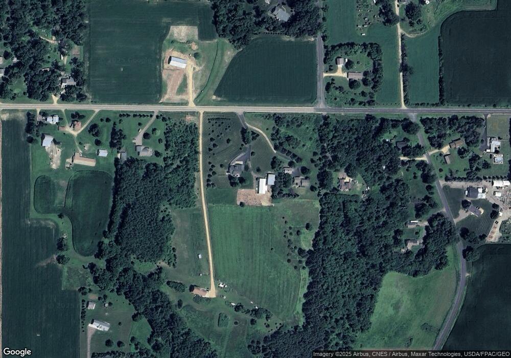
Map
Nearby Homes
- 880 110th St
- 1224 US Highway 12
- 1108 Susan Ln
- 278 Eagle Ridge Dr
- 239 (Lot 254) Eagle Ridge Dr
- 262 (Lot 247) Eagle Ridge Dr
- 254 (Lot 246) Eagle Ridge Dr
- 246 (Lot 245) Eagle Ridge Dr
- 247 (Lot 253) Eagle Ridge Dr
- 239 Eagle Ridge Dr
- 222 (Lot 242) Eagle Ridge Dr
- 223 Eagle Ridge Dr
- 254 Eagle Ridge Dr
- 270 Eagle Ridge Dr
- 270 (Lot 248) Eagle Ridge Dr
- 255 Eagle Ridge Dr
- 263 Eagle Ridge Dr
- 230 Eagle Ridge Dr
- 246 Eagle Ridge Dr
- 222 Eagle Ridge Dr
Your Personal Tour Guide
Ask me questions while you tour the home.