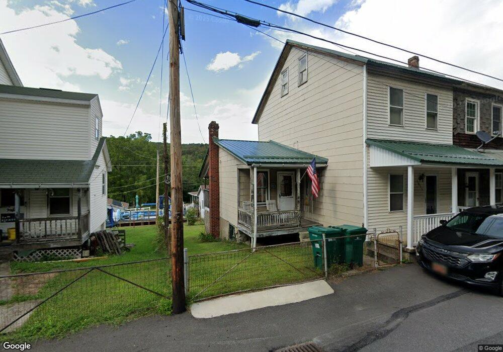
1093 State Route 2026 Coal Township, PA 17866
Estimated Value: $22,000 - $207,000
--
Bed
--
Bath
--
Sq Ft
1,917
Sq Ft Lot
About This Home
This home is located at 1093 State Route 2026, Coal Township, PA 17866 and is currently estimated at $82,982. 1093 State Route 2026 is a home located in Northumberland County with nearby schools including Shamokin Area Elementary School, Shamokin Area Middle School, and Shamokin Area High School.
Create a Home Valuation Report for This Property
The Home Valuation Report is an in-depth analysis detailing your home's value as well as a comparison with similar homes in the area
Home Values in the Area
Average Home Value in this Area
Tax History Compared to Growth
Tax History
| Year | Tax Paid | Tax Assessment Tax Assessment Total Assessment is a certain percentage of the fair market value that is determined by local assessors to be the total taxable value of land and additions on the property. | Land | Improvement |
|---|---|---|---|---|
| 2025 | $263 | $2,300 | $290 | $2,010 |
| 2024 | $244 | $2,300 | $290 | $2,010 |
| 2023 | $244 | $2,300 | $290 | $2,010 |
| 2022 | $240 | $2,300 | $290 | $2,010 |
| 2021 | $231 | $2,300 | $290 | $2,010 |
| 2020 | $229 | $2,300 | $290 | $2,010 |
| 2019 | $208 | $2,300 | $290 | $2,010 |
| 2018 | $205 | $2,300 | $290 | $2,010 |
| 2017 | $195 | $2,300 | $290 | $2,010 |
| 2016 | -- | $2,300 | $290 | $2,010 |
| 2015 | -- | $2,300 | $290 | $2,010 |
| 2014 | -- | $2,300 | $290 | $2,010 |
Source: Public Records
Map
Nearby Homes
- 1095 State Route 2026
- 1087 State Route 2026
- 1085 State Route 2026
- 1099 State Route 2026
- 166 Lower Patch Rd
- 168 Lower Patch Rd
- 1081 State Route 2026
- 1101 State Route 2026
- 154 Lower Patch Rd
- 1079 State Route 2026
- 1077 State Route 2026
- 1107 State Route 2026
- 152 Lower Patch Rd
- 1075 State Route 2026
- 182 Lower Patch Rd
- 1071 State Route 2026
- 184 Lower Patch Rd
- 1113 State Route 2026
- 145 Lower Patch Rd
- 140 Lower Patch Rd