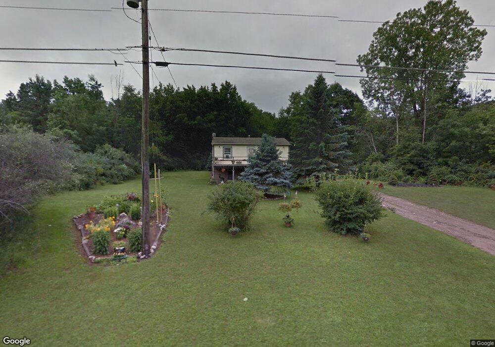
10932 Baker Rd Unit BAKER Jerome, MI 49249
Estimated Value: $205,000 - $240,000
2
Beds
1
Bath
1,536
Sq Ft
$144/Sq Ft
Est. Value
About This Home
This home is located at 10932 Baker Rd Unit BAKER, Jerome, MI 49249 and is currently estimated at $220,594, approximately $143 per square foot. 10932 Baker Rd Unit BAKER is a home located in Hillsdale County with nearby schools including Addison Elementary School, Addison Middle School, and Addison High School.
Ownership History
Date
Name
Owned For
Owner Type
Purchase Details
Closed on
Jun 25, 2024
Sold by
Smith Nicole D
Bought by
Maruschak Scott
Current Estimated Value
Home Financials for this Owner
Home Financials are based on the most recent Mortgage that was taken out on this home.
Original Mortgage
$118,195
Outstanding Balance
$116,791
Interest Rate
7.02%
Mortgage Type
New Conventional
Estimated Equity
$103,803
Purchase Details
Closed on
May 24, 2010
Sold by
The Huntington National Bank
Bought by
Federal National Mortgage Association
Purchase Details
Closed on
Apr 30, 2010
Sold by
Parshall Byrd Barbara E
Bought by
The Huntington National Bank
Purchase Details
Closed on
May 5, 1994
Sold by
Parshall Michael J and Parshall Barbara E
Bought by
Parshall-Byrd Barbara E
Create a Home Valuation Report for This Property
The Home Valuation Report is an in-depth analysis detailing your home's value as well as a comparison with similar homes in the area
Purchase History
| Date | Buyer | Sale Price | Title Company |
|---|---|---|---|
| Maruschak Scott | $185,000 | None Listed On Document | |
| Federal National Mortgage Association | -- | None Available | |
| The Huntington National Bank | $50,834 | None Available | |
| Parshall-Byrd Barbara E | -- | -- |
Source: Public Records
Mortgage History
| Date | Status | Borrower | Loan Amount |
|---|---|---|---|
| Open | Maruschak Scott | $118,195 |
Source: Public Records
Tax History
| Year | Tax Paid | Tax Assessment Tax Assessment Total Assessment is a certain percentage of the fair market value that is determined by local assessors to be the total taxable value of land and additions on the property. | Land | Improvement |
|---|---|---|---|---|
| 2025 | $892 | $81,690 | $0 | $0 |
| 2024 | $4 | $58,930 | $0 | $0 |
| 2023 | $414 | $54,260 | $0 | $0 |
| 2022 | $974 | $45,640 | $0 | $0 |
| 2021 | $943 | $42,530 | $0 | $0 |
| 2020 | $939 | $39,080 | $0 | $0 |
| 2019 | $936 | $35,500 | $0 | $0 |
| 2018 | $890 | $37,760 | $0 | $0 |
| 2017 | $860 | $36,550 | $0 | $0 |
| 2016 | $861 | $34,550 | $0 | $0 |
| 2015 | $347 | $34,550 | $0 | $0 |
| 2013 | $336 | $30,660 | $0 | $0 |
| 2012 | $366 | $33,450 | $0 | $0 |
Source: Public Records
Map
Nearby Homes
- 10362 Glencoe Rd
- 11348 Oakwood Dr
- 10291 Glencoe Rd
- 11500 Rutan Cir
- 11531 Rutan Cir
- 10380 Heatherlawn Ct
- 11620 Greenlawn Dr
- 10140 Fairway Dr
- 11062 Greenview Ct
- 11968 Greenbriar Dr
- 11838 Greenbriar Dr
- 11770 Penlawn Dr
- 11860 N Lake Side Dr
- 11246 Lemott Cir
- 11248 Lemott Cir
- 11791 Bradley Dr
- Lots 274-276 Southlawn Cir
- 10011 Southlawn Cir
- 9951 Southlawn Cir
- 10841 N Waldron Rd
- 10932 Baker Rd
- 10940 Baker Rd Unit Lot 1 Lakeview
- 10940 Baker Rd
- 220 Baker Rd Unit 11694 Baker Rd
- 10900 Baker Rd
- 10880 Baker Rd
- 10874 Baker Rd
- 10925 Baker Rd
- 10941 Tacoma Dr
- 10921 Baker Rd
- 10951 Tacoma Dr
- 10860 Baker Rd
- 10961 Tacoma Dr
- 10780 Hillandale Dr
- 10760 Hillandale Dr
- 10971 Tacoma Dr
- 10790 Hillandale Dr
- 10911 Baker Rd
- 10981 Tacoma Dr
- 10810 Montview Dr
Your Personal Tour Guide
Ask me questions while you tour the home.