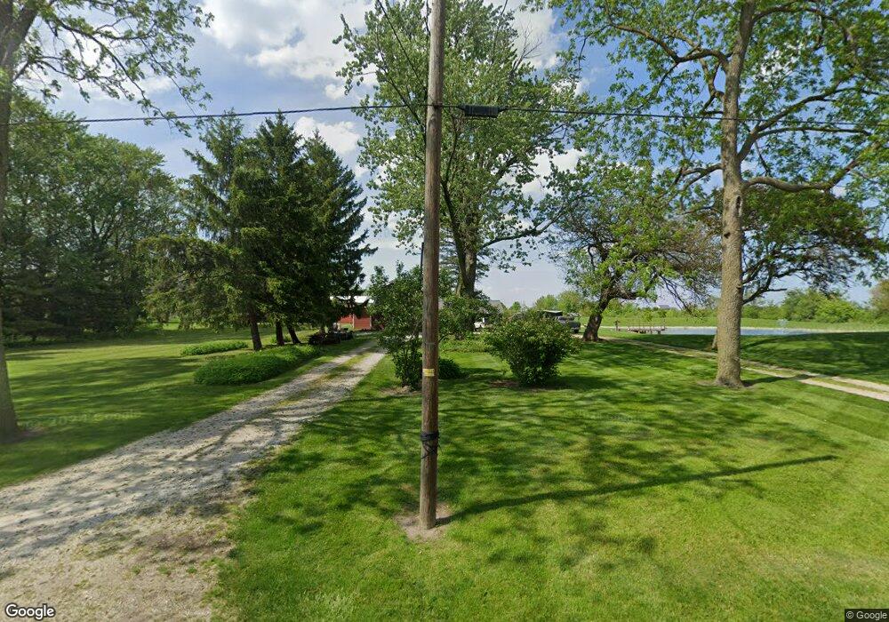
10933 Bunting Rd Curtice, OH 43412
Estimated Value: $277,239 - $362,000
3
Beds
2
Baths
2,168
Sq Ft
$146/Sq Ft
Est. Value
About This Home
This home is located at 10933 Bunting Rd, Curtice, OH 43412 and is currently estimated at $317,413, approximately $146 per square foot. 10933 Bunting Rd is a home located in Lucas County.
Ownership History
Date
Name
Owned For
Owner Type
Purchase Details
Closed on
Dec 14, 1999
Sold by
Wise Ralph E and Wise Nelda F
Bought by
Haynes Michael R and Haynes Constance R
Current Estimated Value
Home Financials for this Owner
Home Financials are based on the most recent Mortgage that was taken out on this home.
Original Mortgage
$163,200
Interest Rate
7.87%
Mortgage Type
VA
Create a Home Valuation Report for This Property
The Home Valuation Report is an in-depth analysis detailing your home's value as well as a comparison with similar homes in the area
Home Values in the Area
Average Home Value in this Area
Purchase History
| Date | Buyer | Sale Price | Title Company |
|---|---|---|---|
| Haynes Michael R | $160,000 | Louisville Title Agency For |
Source: Public Records
Mortgage History
| Date | Status | Borrower | Loan Amount |
|---|---|---|---|
| Closed | Haynes Michael R | $163,200 |
Source: Public Records
Tax History Compared to Growth
Tax History
| Year | Tax Paid | Tax Assessment Tax Assessment Total Assessment is a certain percentage of the fair market value that is determined by local assessors to be the total taxable value of land and additions on the property. | Land | Improvement |
|---|---|---|---|---|
| 2024 | $2,102 | $64,995 | $15,820 | $49,175 |
| 2023 | $3,281 | $40,565 | $13,650 | $26,915 |
| 2022 | $3,271 | $40,565 | $13,650 | $26,915 |
| 2021 | $3,754 | $40,565 | $13,650 | $26,915 |
| 2020 | $3,484 | $36,890 | $13,510 | $23,380 |
| 2019 | $3,362 | $36,890 | $13,510 | $23,380 |
| 2018 | $3,366 | $36,890 | $13,510 | $23,380 |
| 2017 | $3,427 | $35,770 | $13,615 | $22,155 |
| 2016 | $3,396 | $102,200 | $38,900 | $63,300 |
| 2015 | $3,381 | $102,200 | $38,900 | $63,300 |
| 2014 | $2,397 | $35,780 | $13,620 | $22,160 |
| 2013 | $2,397 | $35,780 | $13,620 | $22,160 |
Source: Public Records
Map
Nearby Homes
- 725 Donovan Rd
- 445 S Yondota Rd
- 7105 N Elliston Trowbridge Rd
- 405 Lakemore Rd
- 434 Beachview Rd
- 549 Beachview Rd
- 11944 Corduroy Rd
- 645 Clubhouse Rd
- 11965 Dyke Rd
- 12404 La Fontaine Dr
- 12504 La Fontaine Dr
- 12369 Lagoon Dr
- 12403 Lagoon Dr
- 11103 Dyke Rd
- 12643 Lagoon Dr
- 9015 Seaman Rd
- 1031 N Cousino Rd
- 21224 W Toledo St
- 0 W Walbridge Rd
- Track 1 W Walbridge Rd
- 10909 Bunting Rd
- 10936 Bunting Rd
- 10924 Bunting Rd
- 535 Donovan Rd
- 11005 Bunting Rd
- 633 Donovan Rd
- 490 Donovan Rd
- 10950 Bunting Rd
- 11002 Bunting Rd
- 11025 Bunting Rd
- 532 Donovan Rd
- 630 Donovan Rd
- 643 Donovan Rd
- 528 Donovan Rd
- 11035 Bunting Rd
- 11030 Bunting Rd
- 562 Donovan Rd
- 663 Donovan Rd
- 11055 Bunting Rd
- 442 Donovan Rd
