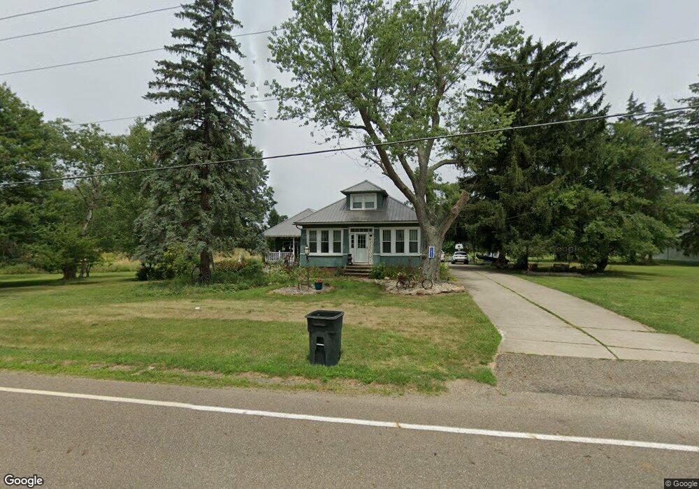
10935 Beeson St NE Alliance, OH 44601
Estimated Value: $255,000 - $371,460
3
Beds
2
Baths
2,284
Sq Ft
$140/Sq Ft
Est. Value
About This Home
This home is located at 10935 Beeson St NE, Alliance, OH 44601 and is currently estimated at $320,865, approximately $140 per square foot. 10935 Beeson St NE is a home located in Stark County with nearby schools including Marlington High School and Regina Coeli/St Joseph School.
Ownership History
Date
Name
Owned For
Owner Type
Purchase Details
Closed on
May 12, 2025
Sold by
Berube Richard G and Berube Janice L
Bought by
Berube Green Acres Llc
Current Estimated Value
Purchase Details
Closed on
Feb 11, 1997
Sold by
Moulin Donald J
Bought by
Berube Richard G and Berube Janice L
Home Financials for this Owner
Home Financials are based on the most recent Mortgage that was taken out on this home.
Original Mortgage
$98,400
Interest Rate
7.73%
Mortgage Type
New Conventional
Purchase Details
Closed on
Jan 16, 1992
Purchase Details
Closed on
Jun 9, 1989
Create a Home Valuation Report for This Property
The Home Valuation Report is an in-depth analysis detailing your home's value as well as a comparison with similar homes in the area
Home Values in the Area
Average Home Value in this Area
Purchase History
| Date | Buyer | Sale Price | Title Company |
|---|---|---|---|
| Berube Green Acres Llc | -- | None Listed On Document | |
| Berube Richard G | $94,900 | -- | |
| -- | $45,000 | -- | |
| -- | $60,000 | -- |
Source: Public Records
Mortgage History
| Date | Status | Borrower | Loan Amount |
|---|---|---|---|
| Previous Owner | Berube Richard G | $98,400 |
Source: Public Records
Tax History Compared to Growth
Tax History
| Year | Tax Paid | Tax Assessment Tax Assessment Total Assessment is a certain percentage of the fair market value that is determined by local assessors to be the total taxable value of land and additions on the property. | Land | Improvement |
|---|---|---|---|---|
| 2025 | -- | $110,780 | $52,120 | $58,660 |
| 2024 | -- | $110,780 | $52,120 | $58,660 |
| 2023 | $2,975 | $80,440 | $32,240 | $48,200 |
| 2022 | $2,986 | $80,440 | $32,240 | $48,200 |
| 2021 | $2,996 | $80,440 | $32,240 | $48,200 |
| 2020 | $2,698 | $66,290 | $27,090 | $39,200 |
| 2019 | $2,679 | $66,300 | $27,100 | $39,200 |
| 2018 | $2,559 | $66,300 | $27,100 | $39,200 |
| 2017 | $2,571 | $61,650 | $23,770 | $37,880 |
| 2016 | $2,573 | $61,650 | $23,770 | $37,880 |
| 2015 | $2,577 | $61,650 | $23,770 | $37,880 |
| 2014 | $428 | $53,700 | $20,690 | $33,010 |
| 2013 | $1,188 | $53,700 | $20,690 | $33,010 |
Source: Public Records
Map
Nearby Homes
- 0 Reeder Ave NE
- 10666 Wilma Ave NE
- 12355 Edison St NE
- 13334 Cindy St NE
- 11960 Freshley Ave NE
- 0 Meadow St NE
- 12415 Snode St NE
- 2377 Ansley St Unit 2377
- 1430 Westwood Ave
- 13109 Edison St NE
- 2081 Marwood Cir
- 11480 Aebi Ave NE
- 2851 Patriots Path Unit 3D
- 2435 Queensbury Rd
- 0 W Main St Unit 5090123
- 0 Valewood Cir Unit 5006281
- 0 Easton St NE
- 000 Klinger Ave
- 1201 Overlook Dr
- 432 Johnson Ave
- 10930 Beeson St NE
- 10959 Beeson St NE
- 11005 Beeson St NE
- 10845 Beeson St NE
- 10844 Beeson St NE
- 11035 Beeson St NE
- 10814 Beeson St NE
- 11079 Beeson St NE
- 10752 Beeson St NE
- 10566 Clapsaddle Ave NE
- 10636 Clapsaddle Ave NE
- 10684 Beeson St NE
- 10690 Clapsaddle Ave NE
- 11243 Beeson St NE
- 0 Beeson St NE Unit 3721104
- 0 Beeson St NE Unit 3789951
- 10785 Clapsaddle Ave NE
- 10785 Clapsaddle Ave NE
- 10680 Reeder Ave NE
- 10730 Clapsaddle Ave NE