1094 12th Ave Brockway, PA 15824
Estimated Value: $60,000 - $168,000
--
Bed
--
Bath
775
Sq Ft
$161/Sq Ft
Est. Value
About This Home
This home is located at 1094 12th Ave, Brockway, PA 15824 and is currently estimated at $124,864, approximately $161 per square foot. 1094 12th Ave is a home located in Jefferson County with nearby schools including Brockway Area Elementary School, Brockway Area Junior/Senior High School, and Hillside School.
Ownership History
Date
Name
Owned For
Owner Type
Purchase Details
Closed on
Aug 25, 2025
Sold by
Morrison Michael C
Bought by
Allen Jeremy B and Allen Kara E
Current Estimated Value
Home Financials for this Owner
Home Financials are based on the most recent Mortgage that was taken out on this home.
Original Mortgage
$180,000
Outstanding Balance
$180,000
Interest Rate
6.72%
Mortgage Type
New Conventional
Estimated Equity
-$55,136
Purchase Details
Closed on
Oct 8, 2018
Sold by
Desantis Donald A and Desantis Harriet A
Bought by
Morrison Michael C
Home Financials for this Owner
Home Financials are based on the most recent Mortgage that was taken out on this home.
Original Mortgage
$135,353
Interest Rate
4.8%
Mortgage Type
New Conventional
Create a Home Valuation Report for This Property
The Home Valuation Report is an in-depth analysis detailing your home's value as well as a comparison with similar homes in the area
Home Values in the Area
Average Home Value in this Area
Purchase History
| Date | Buyer | Sale Price | Title Company |
|---|---|---|---|
| Allen Jeremy B | -- | None Listed On Document | |
| Allen Jeremy B | $225,000 | None Listed On Document | |
| Morrison Michael C | $134,000 | None Available |
Source: Public Records
Mortgage History
| Date | Status | Borrower | Loan Amount |
|---|---|---|---|
| Open | Allen Jeremy B | $180,000 | |
| Previous Owner | Morrison Michael C | $135,353 |
Source: Public Records
Tax History Compared to Growth
Tax History
| Year | Tax Paid | Tax Assessment Tax Assessment Total Assessment is a certain percentage of the fair market value that is determined by local assessors to be the total taxable value of land and additions on the property. | Land | Improvement |
|---|---|---|---|---|
| 2025 | $2,170 | $45,830 | $3,770 | $42,060 |
| 2024 | $2,476 | $45,830 | $3,770 | $42,060 |
| 2023 | $2,124 | $45,830 | $3,770 | $42,060 |
| 2022 | $2,124 | $45,830 | $3,770 | $42,060 |
| 2021 | $2,124 | $45,830 | $3,770 | $42,060 |
| 2020 | $2,124 | $45,830 | $3,770 | $42,060 |
| 2019 | $2,049 | $45,830 | $3,770 | $42,060 |
| 2018 | $1,960 | $45,830 | $3,770 | $42,060 |
| 2017 | $1,935 | $45,830 | $3,770 | $42,060 |
| 2016 | $1,747 | $45,830 | $3,770 | $42,060 |
| 2015 | -- | $45,830 | $3,770 | $42,060 |
| 2012 | -- | $45,830 | $3,770 | $42,060 |
Source: Public Records
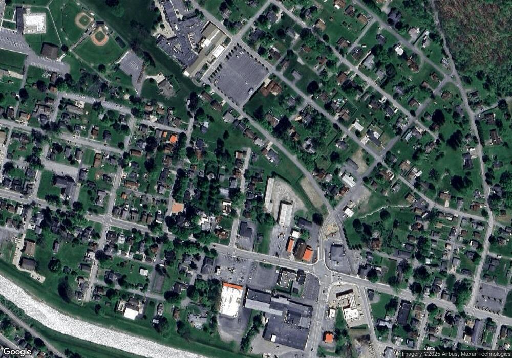
Map
Nearby Homes
- 1074 10th Ave
- 1549 Main St
- 924 Elm St
- 0 U S 219
- 970 Baghdad Rd
- 425 Zuccolotto Ln
- 7956 U S 219
- 19 Salandra Ln
- 1083 Rattlesnake Rd
- 101 Howard Rd
- 5850 U S 219
- 390 Galliot Ct
- 5546 Stevenson Hill Rd
- 0 Cap Haitien Rd Unit SEC 17 LOT 14
- 636 Cap Haitien Rd
- 3585 Shawmut Rd
- Section 14 Lot 24 Port-Au-prince Rd
- 14 Port-Au-prince Rd
- 13 Cap Haitien Rd
- 579 Codrington Rd
- 1098 12th Ave
- 1095 12th Ave
- 1080 12th Ave
- 1099 12th Ave
- 1071 12th Ave
- 1097 12th Ave
- 1078 12th Ave
- 1041 Evergreen St
- 1043 Evergreen St
- 1062 12th Ave
- 1048 12th Ave
- 1049 12th Ave
- 1047 Evergreen St
- 1046 Evergreen St
- 1108 10th Ave
- 1040 Evergreen St
- 1102 10th Ave
- 1049 Evergreen St
- 1078 10th Ave
- 1000 Evergreen St