1094 Long Pond Rd Unit 1 Plymouth, MA 02360
Estimated Value: $471,814 - $511,000
3
Beds
2
Baths
1,530
Sq Ft
$323/Sq Ft
Est. Value
About This Home
This home is located at 1094 Long Pond Rd Unit 1, Plymouth, MA 02360 and is currently estimated at $493,954, approximately $322 per square foot. 1094 Long Pond Rd Unit 1 is a home located in Plymouth County with nearby schools including Indian Brook, Plymouth South Middle School, and Plymouth South High School.
Ownership History
Date
Name
Owned For
Owner Type
Purchase Details
Closed on
Jul 10, 2009
Sold by
Bridgewater Sb
Bought by
Leonard Nathaniel H and Bonk Lindsey N
Current Estimated Value
Home Financials for this Owner
Home Financials are based on the most recent Mortgage that was taken out on this home.
Original Mortgage
$181,640
Outstanding Balance
$116,239
Interest Rate
4.93%
Mortgage Type
Purchase Money Mortgage
Estimated Equity
$377,715
Purchase Details
Closed on
Dec 29, 2008
Sold by
Cornerstone Prop&Dev I
Bought by
Bridgewater Sb
Purchase Details
Closed on
Jun 17, 2005
Sold by
Fantoni Robert R and Fantoni Karen E
Bought by
Cornerstone Prop& Dev
Home Financials for this Owner
Home Financials are based on the most recent Mortgage that was taken out on this home.
Original Mortgage
$100,000
Interest Rate
5.78%
Mortgage Type
Purchase Money Mortgage
Create a Home Valuation Report for This Property
The Home Valuation Report is an in-depth analysis detailing your home's value as well as a comparison with similar homes in the area
Home Values in the Area
Average Home Value in this Area
Purchase History
| Date | Buyer | Sale Price | Title Company |
|---|---|---|---|
| Leonard Nathaniel H | $191,200 | -- | |
| Bridgewater Sb | $350,000 | -- | |
| Cornerstone Prop& Dev | $376,875 | -- |
Source: Public Records
Mortgage History
| Date | Status | Borrower | Loan Amount |
|---|---|---|---|
| Open | Cornerstone Prop& Dev | $181,640 | |
| Previous Owner | Cornerstone Prop& Dev | $100,000 |
Source: Public Records
Tax History Compared to Growth
Tax History
| Year | Tax Paid | Tax Assessment Tax Assessment Total Assessment is a certain percentage of the fair market value that is determined by local assessors to be the total taxable value of land and additions on the property. | Land | Improvement |
|---|---|---|---|---|
| 2025 | $4,188 | $330,000 | $0 | $330,000 |
| 2024 | $4,201 | $326,400 | $0 | $326,400 |
| 2023 | $4,077 | $297,400 | $0 | $297,400 |
| 2022 | $3,973 | $257,500 | $0 | $257,500 |
| 2021 | $4,076 | $252,200 | $0 | $252,200 |
| 2020 | $3,880 | $237,300 | $0 | $237,300 |
| 2019 | $3,690 | $223,100 | $0 | $223,100 |
| 2018 | $3,221 | $195,700 | $0 | $195,700 |
| 2017 | $3,212 | $193,700 | $0 | $193,700 |
| 2016 | $3,114 | $191,400 | $0 | $191,400 |
| 2015 | $2,807 | $180,600 | $0 | $180,600 |
| 2014 | $2,748 | $181,600 | $0 | $181,600 |
Source: Public Records
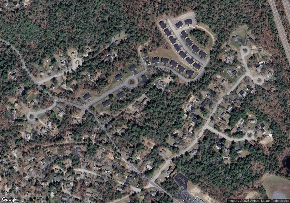
Map
Nearby Homes
- 1096 Long Pond Rd
- 65 Lakewood Dr
- 1150 Long Pond Rd
- 18 Westcliff Dr
- 20 Westcliff Dr Unit 20
- 4 Westcliff Dr Unit Golfview
- 110 Valley Rd
- 1 Kara's Way
- 21 Dublin Dr
- 42 Fairway Dr Unit Golfview
- 12 Kara's Way
- 53 White Cliff Dr
- 6 Sea Cliff Dr Unit 6
- 6 Seacliff Dr Unit 6
- 2462 State Rd
- 5 Laurie Ann's Ln
- 92 Cliffside Dr
- 92 Cliffside Dr Unit White Cliff
- 112 Cliffside Dr Unit 112
- 15 Nonantum Rd
- 1094 Long Pond Rd Unit 2
- 1094 Long Pond Rd
- 20 Tupper Hill Rd Unit 20
- 30 Tupper Hill Rd Unit 30
- 32 Tupper Hill Rd Unit 32
- 36 Tupper Hill Rd Unit 36
- 26 Tupper Hill Rd Unit 26
- 34 Tupper Hill Rd Unit 34
- 28 Tupper Hill Rd Unit 28
- 22 Tupper Hill Rd Unit 22
- 1092 Long Pond Rd Unit 2
- 1092 Long Pond Rd Unit 1
- 1092 Long Pond Rd Unit 4
- 10 Tupper Hill Rd Unit 10
- 1102 Long Pond Rd
- 1102 Long Pond Rd
- 34 Tananger Rd
- 26 Tananger Rd
- 30 Tananger Rd
- 24 Tananger Rd