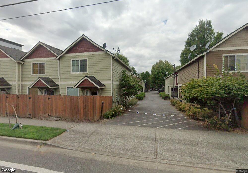
1094 NW Perl Way Unit 35 Beaverton, OR 97006
AmberGlen NeighborhoodEstimated Value: $307,183 - $323,000
3
Beds
2
Baths
1,151
Sq Ft
$274/Sq Ft
Est. Value
About This Home
This home is located at 1094 NW Perl Way Unit 35, Beaverton, OR 97006 and is currently estimated at $315,796, approximately $274 per square foot. 1094 NW Perl Way Unit 35 is a home located in Washington County with nearby schools including Lenox Elementary School, J.W. Poynter Middle School, and Liberty High School.
Ownership History
Date
Name
Owned For
Owner Type
Purchase Details
Closed on
Apr 6, 2016
Sold by
Clair Edward W
Bought by
Clair Edward W and The Clair Revocable Living Trust
Current Estimated Value
Purchase Details
Closed on
Apr 4, 2003
Sold by
K & F Homes Llc
Bought by
Clair Edward W
Home Financials for this Owner
Home Financials are based on the most recent Mortgage that was taken out on this home.
Original Mortgage
$100,700
Outstanding Balance
$43,355
Interest Rate
5.78%
Estimated Equity
$272,441
Create a Home Valuation Report for This Property
The Home Valuation Report is an in-depth analysis detailing your home's value as well as a comparison with similar homes in the area
Home Values in the Area
Average Home Value in this Area
Purchase History
| Date | Buyer | Sale Price | Title Company |
|---|---|---|---|
| Clair Edward W | -- | None Available | |
| Clair Edward W | $118,500 | Pacific Nw Title |
Source: Public Records
Mortgage History
| Date | Status | Borrower | Loan Amount |
|---|---|---|---|
| Open | Clair Edward W | $100,700 | |
| Closed | Clair Edward W | $11,850 |
Source: Public Records
Tax History Compared to Growth
Tax History
| Year | Tax Paid | Tax Assessment Tax Assessment Total Assessment is a certain percentage of the fair market value that is determined by local assessors to be the total taxable value of land and additions on the property. | Land | Improvement |
|---|---|---|---|---|
| 2025 | $2,583 | $158,050 | -- | -- |
| 2024 | $2,510 | $153,450 | -- | -- |
| 2023 | $2,510 | $148,990 | $0 | $0 |
| 2022 | $2,442 | $148,990 | $0 | $0 |
| 2021 | $2,393 | $140,450 | $0 | $0 |
| 2020 | $2,342 | $136,360 | $0 | $0 |
| 2019 | $2,274 | $132,390 | $0 | $0 |
| 2018 | $2,177 | $128,540 | $0 | $0 |
| 2017 | $2,098 | $124,800 | $0 | $0 |
| 2016 | $2,041 | $121,170 | $0 | $0 |
| 2015 | $1,959 | $117,650 | $0 | $0 |
| 2014 | $1,948 | $114,230 | $0 | $0 |
Source: Public Records
Map
Nearby Homes
- 8686 NE Hyde Park Ln
- 8599 NE Hodes St
- 734 NE Adwick Dr
- 680 NE Adwick Dr Unit 5
- 645 NE Garswood Ln
- 637 NE Garswood Ln
- 622 NE Garswood Ln
- 613 NE Garswood Ln
- 881 NE Wheelock Place
- 426 NE Tork Place
- 8654 NE Rockspring St
- 20711 NW Painted Mountain Dr
- 402 NE Patricia Ann Place
- 8100 NE Miriam Way
- 8420 NE Noelle Way
- 7959 NE Rockne Way
- 7915 NE Rockne Way
- 7906 NE Miriam Way
- 7902 NE Miriam Way
- 225 NW 208th Ave
- 1086 NW Perl Way Unit 36
- 1078 NW Perl Way Unit 37
- 1078 NE Perl Way
- 1114 NW Perl Way Unit 30
- 1114 NE Perl Way
- 1070 NW Perl Way Unit 38
- 1122 NW Perl Way Unit 29
- 1122 NE Perl Way
- 1095 NW Perl Way Unit 31
- 1095 NE Perl Way
- 1146 NW Perl Way Unit 26
- 1130 NW Perl Way Unit 28
- 1087 NW Perl Way Unit 32
- 1130 NE Perl Way
- 1079 NE Perl Way
- 1079 NW Perl Way Unit 33
- 1109 NW Perl Way Unit 25
- 1071 NW Perl Way Unit 34
- 1138 NW Perl Way Unit 27
- 1117 NW Perl Way Unit 24