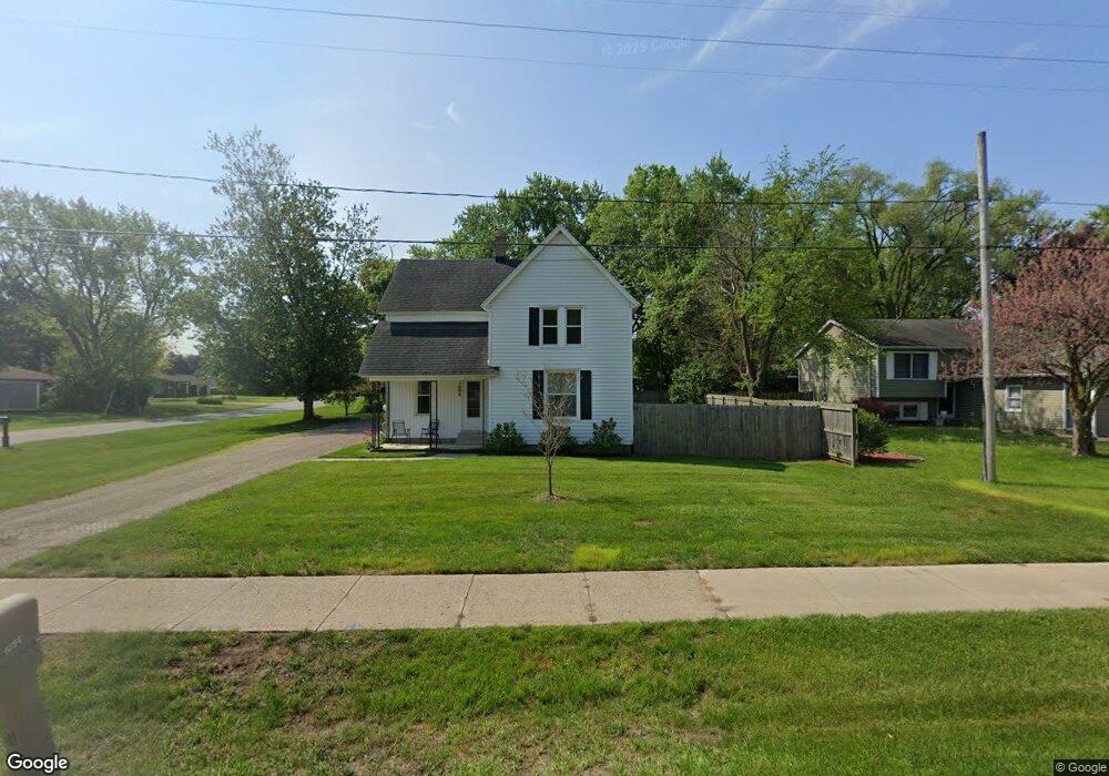
1094 Port Sheldon St Jenison, MI 49428
Estimated Value: $278,613 - $336,000
4
Beds
1
Bath
1
Sq Ft
$300,653/Sq Ft
Est. Value
About This Home
This home is located at 1094 Port Sheldon St, Jenison, MI 49428 and is currently estimated at $300,653, approximately $300,653 per square foot. 1094 Port Sheldon St is a home located in Ottawa County with nearby schools including Bursley School, Jenison Junior High School, and Jenison High School.
Ownership History
Date
Name
Owned For
Owner Type
Purchase Details
Closed on
Jun 14, 2022
Sold by
Lewis Kara L
Bought by
Lewis Kara L and Faber Rachel E
Current Estimated Value
Purchase Details
Closed on
Sep 4, 2008
Sold by
Hooker Kara L
Bought by
Lewis Kara L and Hooker Lara L
Create a Home Valuation Report for This Property
The Home Valuation Report is an in-depth analysis detailing your home's value as well as a comparison with similar homes in the area
Home Values in the Area
Average Home Value in this Area
Purchase History
| Date | Buyer | Sale Price | Title Company |
|---|---|---|---|
| Lewis Kara L | -- | Smith Haughey Rice & Roegge | |
| Lewis Kara L | -- | None Available |
Source: Public Records
Tax History Compared to Growth
Tax History
| Year | Tax Paid | Tax Assessment Tax Assessment Total Assessment is a certain percentage of the fair market value that is determined by local assessors to be the total taxable value of land and additions on the property. | Land | Improvement |
|---|---|---|---|---|
| 2025 | $1,581 | $115,100 | $0 | $0 |
| 2024 | $1,372 | $108,900 | $0 | $0 |
| 2023 | $1,310 | $99,800 | $0 | $0 |
| 2022 | $1,438 | $90,100 | $0 | $0 |
| 2021 | $1,396 | $80,100 | $0 | $0 |
| 2020 | $1,381 | $68,000 | $0 | $0 |
| 2019 | $1,382 | $61,900 | $0 | $0 |
| 2018 | $1,289 | $56,000 | $0 | $0 |
| 2017 | $1,267 | $53,200 | $0 | $0 |
| 2016 | $1,259 | $50,200 | $0 | $0 |
| 2015 | $1,201 | $48,200 | $0 | $0 |
| 2014 | $1,201 | $47,900 | $0 | $0 |
Source: Public Records
Map
Nearby Homes
- 1241 S Marymark Dr
- 6451 12th Ave
- 1306 Carol Dr
- 950 Brentwood St
- 1361 Carol Dr
- 1433 Winifred St
- 6501 Andre's Crossing Unit 14
- 1355 Bent Tree Dr Unit 12
- 6516 Andre's Crossing
- 1451 Eagle Shore Ct
- 6025 Gleneagle Dr
- 1040 Castlebay Way Unit 19
- 1643 Laramy Ln
- 1038 Castlebay Way Unit 18
- 1036 Castlebay Way Unit 17
- 1496 Eagle Shore Ct Unit 13
- 1519 Eagle Shore Ct Unit Lot 33
- 1481 Eagle Shore Ct Unit 39
- 776 Chancellor Dr SW
- 925 Parsons St SW
- 1104 Port Sheldon St
- 1091 Wrenwood Dr
- 1114 Port Sheldon St
- 1105 Wrenwood Dr
- 6554 Oakland Dr
- 1099 Port Sheldon St
- 1087 Port Sheldon St
- 1111 Port Sheldon St
- 1121 Wrenwood Dr
- 1130 Port Sheldon St
- 1069 Port Sheldon St
- 1048 Port Sheldon St
- 1048 Port Sheldon St
- 1121 Port Sheldon St
- 6521 Oakland Dr
- 1063 Port Sheldon St
- 1137 Wrenwood Dr
- 1137 Port Sheldon St
- 1104 Wrenwood Dr
- 6522 Oakland Dr