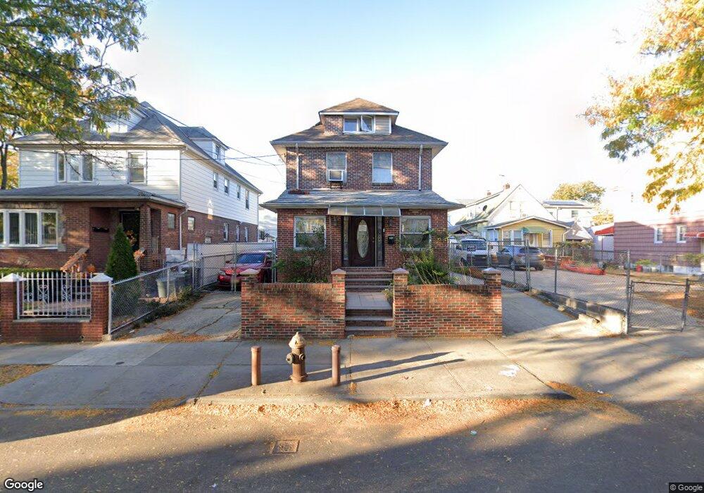
10940 Liverpool St Jamaica, NY 11435
Jamaica NeighborhoodEstimated Value: $671,060 - $1,165,000
--
Bed
--
Bath
1,156
Sq Ft
$739/Sq Ft
Est. Value
About This Home
This home is located at 10940 Liverpool St, Jamaica, NY 11435 and is currently estimated at $853,765, approximately $738 per square foot. 10940 Liverpool St is a home located in Queens County with nearby schools including P.S. 160 Walter Francis Bishop and Junior High School 8 Richard S Grossley.
Ownership History
Date
Name
Owned For
Owner Type
Purchase Details
Closed on
Jan 9, 2009
Sold by
Dyer Charles A B and Dyer Monica D
Bought by
Campbell Michelle
Current Estimated Value
Home Financials for this Owner
Home Financials are based on the most recent Mortgage that was taken out on this home.
Original Mortgage
$416,500
Interest Rate
5.51%
Mortgage Type
Purchase Money Mortgage
Purchase Details
Closed on
Mar 22, 1996
Sold by
Steele Avril
Bought by
Dyer Charles A B and Dyer Monica D
Create a Home Valuation Report for This Property
The Home Valuation Report is an in-depth analysis detailing your home's value as well as a comparison with similar homes in the area
Home Values in the Area
Average Home Value in this Area
Purchase History
| Date | Buyer | Sale Price | Title Company |
|---|---|---|---|
| Campbell Michelle | $595,500 | -- | |
| Campbell Michelle | $595,500 | -- | |
| Dyer Charles A B | -- | -- | |
| Dyer Charles A B | -- | -- |
Source: Public Records
Mortgage History
| Date | Status | Borrower | Loan Amount |
|---|---|---|---|
| Previous Owner | Campbell Michelle | $416,500 |
Source: Public Records
Tax History Compared to Growth
Tax History
| Year | Tax Paid | Tax Assessment Tax Assessment Total Assessment is a certain percentage of the fair market value that is determined by local assessors to be the total taxable value of land and additions on the property. | Land | Improvement |
|---|---|---|---|---|
| 2025 | $4,613 | $24,365 | $7,485 | $16,880 |
| 2024 | $4,129 | $24,365 | $7,977 | $16,388 |
| 2023 | $4,574 | $24,175 | $8,768 | $15,407 |
| 2022 | $3,770 | $32,940 | $14,340 | $18,600 |
| 2021 | $4,232 | $27,300 | $14,340 | $12,960 |
| 2020 | $4,002 | $28,860 | $14,340 | $14,520 |
| 2019 | $3,955 | $31,620 | $14,340 | $17,280 |
| 2018 | $3,809 | $20,146 | $11,410 | $8,736 |
| 2017 | $3,575 | $19,006 | $11,079 | $7,927 |
| 2016 | $3,275 | $19,006 | $11,079 | $7,927 |
| 2015 | $1,943 | $16,920 | $12,988 | $3,932 |
| 2014 | $1,943 | $16,920 | $11,040 | $5,880 |
Source: Public Records
Map
Nearby Homes
- 145 Central Park N Unit 6C
- 145 Central Park N Unit 2-A
- 14620 111th Ave
- 10906 Liverpool St
- 111-15 Inwood St
- 145-03 Ferndale Ave
- 145-47 109th Ave
- 111-28 146th St
- 147-47 Ferndale Ave
- 111-32 147th St
- 10966 153rd St
- 109-55 153rd St
- 150-12 109th Ave
- 15317 110th Rd
- 153-17 111th Ave
- 153-27 110th Ave
- 111-41 Sutphin Blvd
- 145-24 Lakewood Ave
- 14537 Linden Blvd
- 155-07 110th Ave
- 10944 Liverpool St
- 10936 Liverpool St
- 109-36 Liverpool St
- 14549 Glassboro Ave
- 10932 Liverpool St
- 14545 Glassboro Ave
- 14550 Ferndale Ave
- 10928 Liverpool St
- 145-48 Ferndale Ave
- 145-48 Ferndale Ave Unit 1
- 109-28 Liverpool St
- 14541 Glassboro Ave
- 14548 Ferndale Ave
- 10954 Liverpool St
- 109-54 Liverpool St Unit 2nd fl
- 109-54 Liverpool St
- 10935 Liverpool St
- 14537 Glassboro Ave
- 10958 Liverpool St
- 10939 Liverpool St