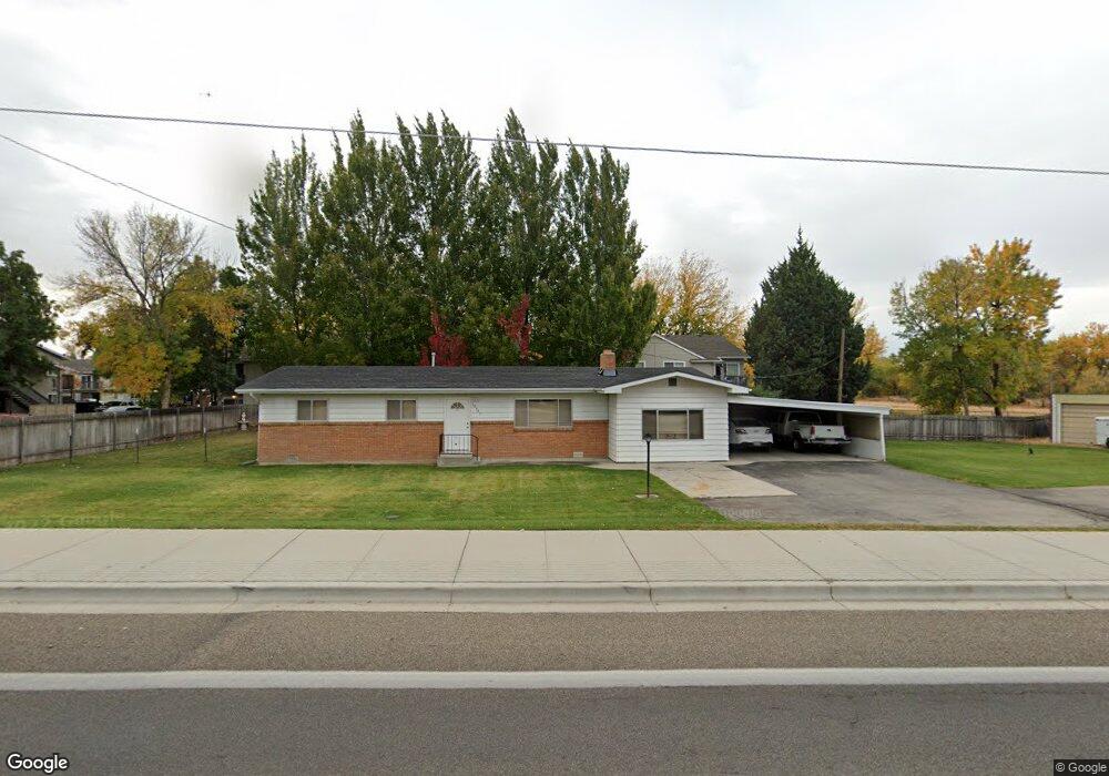
10941 W Ustick Rd Boise, ID 83713
West Boise NeighborhoodEstimated Value: $412,000 - $515,000
3
Beds
2
Baths
1,607
Sq Ft
$281/Sq Ft
Est. Value
About This Home
This home is located at 10941 W Ustick Rd, Boise, ID 83713 and is currently estimated at $451,881, approximately $281 per square foot. 10941 W Ustick Rd is a home located in Ada County with nearby schools including Summerwind STEM Academy, Lowell Scott Middle School, and Centennial High School.
Ownership History
Date
Name
Owned For
Owner Type
Purchase Details
Closed on
Sep 18, 2015
Sold by
Key 2 Homes Llc
Bought by
West Randy L and Fox Susan M
Current Estimated Value
Home Financials for this Owner
Home Financials are based on the most recent Mortgage that was taken out on this home.
Original Mortgage
$151,701
Outstanding Balance
$118,947
Interest Rate
3.86%
Mortgage Type
FHA
Estimated Equity
$332,934
Purchase Details
Closed on
May 27, 2015
Sold by
Malmin Lenard L
Bought by
Key 2 Homes Llc
Create a Home Valuation Report for This Property
The Home Valuation Report is an in-depth analysis detailing your home's value as well as a comparison with similar homes in the area
Home Values in the Area
Average Home Value in this Area
Purchase History
| Date | Buyer | Sale Price | Title Company |
|---|---|---|---|
| West Randy L | -- | Pioneer Title Company Of Ada | |
| Key 2 Homes Llc | -- | Pioneer Title Company |
Source: Public Records
Mortgage History
| Date | Status | Borrower | Loan Amount |
|---|---|---|---|
| Open | West Randy L | $151,701 |
Source: Public Records
Tax History
| Year | Tax Paid | Tax Assessment Tax Assessment Total Assessment is a certain percentage of the fair market value that is determined by local assessors to be the total taxable value of land and additions on the property. | Land | Improvement |
|---|---|---|---|---|
| 2025 | $1,915 | $416,900 | -- | -- |
| 2024 | $1,601 | $414,500 | -- | -- |
| 2023 | $1,601 | $355,000 | $0 | $0 |
| 2022 | $1,701 | $376,900 | $0 | $0 |
| 2021 | $1,383 | $282,800 | $0 | $0 |
| 2020 | $1,270 | $227,400 | $0 | $0 |
| 2019 | $1,507 | $217,700 | $0 | $0 |
| 2018 | $1,329 | $187,100 | $0 | $0 |
| 2017 | $1,293 | $171,200 | $0 | $0 |
| 2016 | $1,211 | $156,500 | $0 | $0 |
| 2015 | $2,115 | $150,600 | $0 | $0 |
Source: Public Records
Map
Nearby Homes
- 10742 W Ardyce Ln Unit 11
- 11227 W Montana St
- 10701 W Ardyce Ln
- 10701 W Ardyce Ln Unit 29
- 10614 W Macaw Ln
- 11130 W Abram Dr
- 10603 W Macaw Ln
- 3298 N Aster Ave
- 11101 W Musket St
- 10703 Palm Dr
- 10241 W Guinevere Dr
- 10659 Palm Dr
- 2503 N Morrow Ave
- 10424 W Palm Ln
- 10490 W Cory St
- 11643 W Freedom Dr
- 2281 N Shaelyn Ln
- 10253 W Granger Ave
- 11880 Arch St
- 10460 W Edna St
- 10941 W Ustick Rd
- 10887 Ustick Rd
- 10887 W Ustick Rd
- 3204 Frontier Way
- 3240 N Buckboard Way
- 3248 N Buckboard Way
- 11000 Ustick Rd
- 3233 N
- 3233 N Buckboard Way
- 3267 N Buckboard Way
- 3254 N Buckboard Way
- 3259 Frontier Way
- 3290 Frontier Way
- 10787 W Ustick Rd
- 3285 N Buckboard Way
- 3266 N Buckboard Way
- 11001 Wampum Dr
- 3291 Frontier Way
- 11050 Ustick Rd
- 11026 W Ustick Rd
Your Personal Tour Guide
Ask me questions while you tour the home.