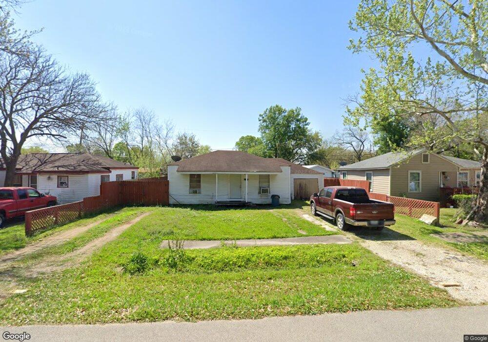
10942 Muscatine St Houston, TX 77029
Estimated Value: $93,000 - $122,369
2
Beds
1
Bath
744
Sq Ft
$142/Sq Ft
Est. Value
About This Home
This home is located at 10942 Muscatine St, Houston, TX 77029 and is currently estimated at $105,592, approximately $141 per square foot. 10942 Muscatine St is a home located in Harris County with nearby schools including Whittier Elementary School, Holland Middle School, and Furr High School.
Ownership History
Date
Name
Owned For
Owner Type
Purchase Details
Closed on
Nov 30, 2015
Sold by
Re Jen One Llc
Bought by
Acevedo Osiel and Acevedo Olga O
Current Estimated Value
Home Financials for this Owner
Home Financials are based on the most recent Mortgage that was taken out on this home.
Original Mortgage
$69,000
Outstanding Balance
$49,356
Interest Rate
3.79%
Mortgage Type
Purchase Money Mortgage
Estimated Equity
$56,236
Purchase Details
Closed on
Jan 1, 2011
Sold by
Jenkins Loren L
Bought by
Re One Jen Llc
Create a Home Valuation Report for This Property
The Home Valuation Report is an in-depth analysis detailing your home's value as well as a comparison with similar homes in the area
Home Values in the Area
Average Home Value in this Area
Purchase History
| Date | Buyer | Sale Price | Title Company |
|---|---|---|---|
| Acevedo Osiel | -- | None Available | |
| Re One Jen Llc | -- | None Available |
Source: Public Records
Mortgage History
| Date | Status | Borrower | Loan Amount |
|---|---|---|---|
| Open | Acevedo Osiel | $69,000 |
Source: Public Records
Tax History Compared to Growth
Tax History
| Year | Tax Paid | Tax Assessment Tax Assessment Total Assessment is a certain percentage of the fair market value that is determined by local assessors to be the total taxable value of land and additions on the property. | Land | Improvement |
|---|---|---|---|---|
| 2025 | $2,390 | $109,820 | $53,600 | $56,220 |
| 2024 | $2,390 | $109,820 | $53,600 | $56,220 |
| 2023 | $2,390 | $103,120 | $46,900 | $56,220 |
| 2022 | $2,042 | $87,857 | $40,200 | $47,657 |
| 2021 | $1,902 | $74,480 | $30,150 | $44,330 |
| 2020 | $1,680 | $63,704 | $30,150 | $33,554 |
| 2019 | $1,409 | $51,679 | $20,100 | $31,579 |
| 2018 | $1,161 | $42,584 | $20,100 | $22,484 |
| 2017 | $1,161 | $42,584 | $20,100 | $22,484 |
| 2016 | $1,161 | $42,584 | $20,100 | $22,484 |
| 2015 | $1,005 | $36,671 | $20,100 | $16,571 |
| 2014 | $1,005 | $36,671 | $20,100 | $16,571 |
Source: Public Records
Map
Nearby Homes
- 11002 La Crosse St
- 11209 Verano St
- 1313 Sheryl St
- 1409 Cheston Dr
- 1101 Flint St
- 10526 Palestine St
- 10701 Pillot St
- 10705 Munn St
- 10418 S Oswego St
- 11510 Tilia St
- 11518 Munn St
- 10613 Chadwick St
- 922 Centerwood Dr
- 10406 Wiggins St
- 10362 Duncum St
- 10513 Munn St
- 10418 Burman St
- 959 Greatwood Dr
- 11735 Fleming Dr
- 530 Westshire Dr
- 10938 Muscatine St
- 11006 Muscatine St
- 10941 Invierno St
- 10934 Muscatine St
- 10937 Invierno St
- 11005 Invierno St
- 10933 Invierno St
- 10941 Muscatine St
- 11010 Muscatine St
- 10930 Muscatine St
- 11001 Muscatine St
- 10937 Muscatine St
- 11005 Muscatine St
- 11009 Invierno St
- 10933 Muscatine St
- 10929 Invierno St
- 10926 Muscatine St
- 11014 Muscatine St
- 11009 Muscatine St
- 10929 Muscatine St