1095 Aspen Dr Unit 61 Norton Shores, MI 49441
Estimated Value: $294,322 - $332,000
2
Beds
3
Baths
2,026
Sq Ft
$152/Sq Ft
Est. Value
About This Home
This home is located at 1095 Aspen Dr Unit 61, Norton Shores, MI 49441 and is currently estimated at $308,581, approximately $152 per square foot. 1095 Aspen Dr Unit 61 is a home located in Muskegon County with nearby schools including Mona Shores High School, Edgewood Elementary Academy, and Dr. Martin Luther King Academy.
Ownership History
Date
Name
Owned For
Owner Type
Purchase Details
Closed on
Apr 25, 2013
Sold by
Paquin Shirley E
Bought by
Paquin Shirley E and Shirley E Paquin Trust
Current Estimated Value
Purchase Details
Closed on
Apr 27, 2011
Sold by
Fox Rhem Lori and Catherine F Fox Trust
Bought by
Paquin Shirley E
Purchase Details
Closed on
Aug 7, 2008
Sold by
Fox Catherine and Fox Louis B
Bought by
Fox Catherine F and Catherine F Fox Trust
Create a Home Valuation Report for This Property
The Home Valuation Report is an in-depth analysis detailing your home's value as well as a comparison with similar homes in the area
Home Values in the Area
Average Home Value in this Area
Purchase History
| Date | Buyer | Sale Price | Title Company |
|---|---|---|---|
| Paquin Shirley E | -- | None Available | |
| Paquin Shirley E | $108,000 | Chicago Title | |
| Fox Catherine F | -- | None Available |
Source: Public Records
Tax History Compared to Growth
Tax History
| Year | Tax Paid | Tax Assessment Tax Assessment Total Assessment is a certain percentage of the fair market value that is determined by local assessors to be the total taxable value of land and additions on the property. | Land | Improvement |
|---|---|---|---|---|
| 2025 | $2,977 | $136,600 | $0 | $0 |
| 2024 | $2,334 | $127,500 | $0 | $0 |
| 2023 | $2,229 | $113,400 | $0 | $0 |
| 2022 | $2,717 | $99,000 | $0 | $0 |
| 2021 | $2,640 | $92,800 | $0 | $0 |
| 2020 | $2,610 | $87,300 | $0 | $0 |
| 2019 | $2,563 | $81,200 | $0 | $0 |
| 2018 | $2,503 | $72,300 | $0 | $0 |
| 2017 | $2,444 | $74,100 | $0 | $0 |
| 2016 | $1,893 | $71,200 | $0 | $0 |
| 2015 | -- | $64,200 | $0 | $0 |
| 2014 | $2,271 | $62,100 | $0 | $0 |
| 2013 | -- | $61,000 | $0 | $0 |
Source: Public Records
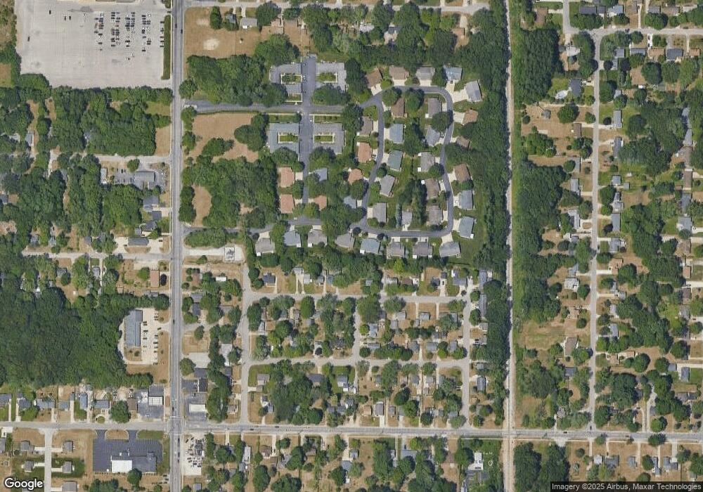
Map
Nearby Homes
- 1067 Aspen Dr
- 4476 Cedar Ln Unit 54
- 4468 Spruce Ct
- 1065 Wilson Ct
- 4535 Thompson Rd
- V/L 4535 Thompson Rd
- 945 Petrie Ave
- 1130 Englewood Ave
- 1068 Englewood Ave
- 4638 Lauren Dr
- 1454 Airport Rd
- 1201 Shettler Rd
- 4677 Harvey St
- 4060 Buck St
- 4102 Highgate Rd
- 1404 E Ellis Rd
- 4769 Harvey St
- V/L E Ellis Rd
- 4875 Paul Ct
- 1283 E Ellis Rd Unit 18
- 1091 Aspen Dr
- 1109 Aspen Dr
- 1087 Aspen Dr
- 1113 Aspen Dr
- 1083 Aspen Dr
- 1114 Roosevelt Ct
- 1129 Aspen Dr
- 4472 Spruce Ct
- 1092 Roosevelt Ct
- 4472 Cedar Ln
- 1086 Roosevelt Ct
- 1130 Roosevelt Ct
- 1076 Roosevelt Ct
- 4460 Cedar Ln
- 4460 Spruce Ct
- 4455 Cedar Ln
- 1095 Roosevelt Ct
- 4471 Spruce Ct Unit 101
- 1139 Aspen Dr
- 1139 Aspen Dr Unit 70