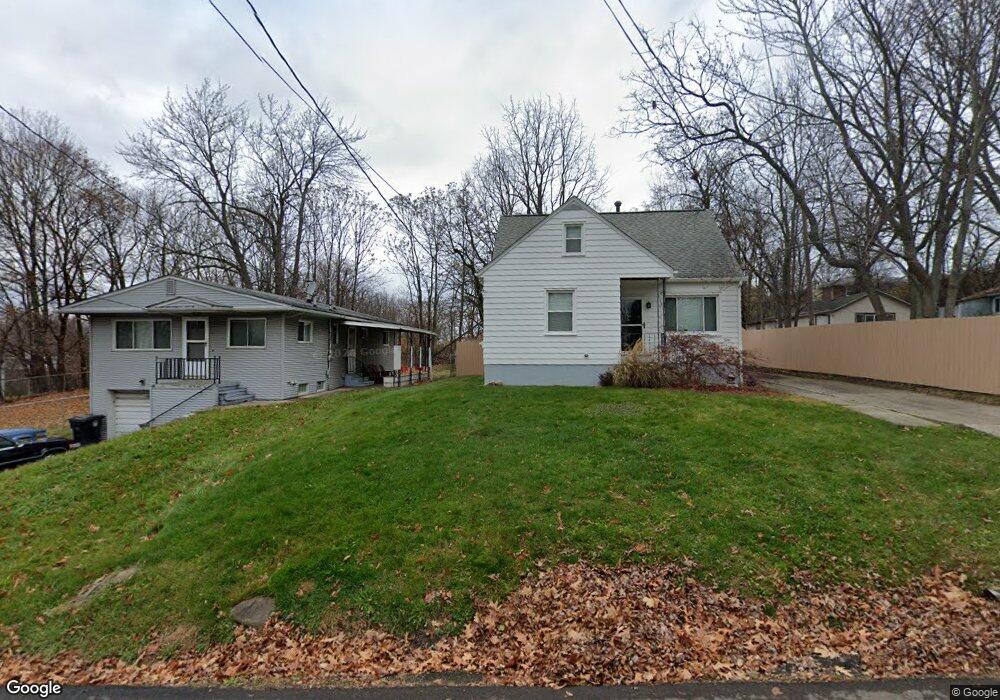
1095 Jason Ave Akron, OH 44314
Rolling Acres NeighborhoodEstimated Value: $106,770 - $126,000
3
Beds
2
Baths
960
Sq Ft
$121/Sq Ft
Est. Value
About This Home
This home is located at 1095 Jason Ave, Akron, OH 44314 and is currently estimated at $116,443, approximately $121 per square foot. 1095 Jason Ave is a home located in Summit County with nearby schools including Pfeiffer Elementary School, Kenmore Garfield Community Learning Center, and Emmanuel Christian Academy.
Ownership History
Date
Name
Owned For
Owner Type
Purchase Details
Closed on
Jul 21, 2005
Sold by
Wood Pamela S
Bought by
Wood Michael D
Current Estimated Value
Home Financials for this Owner
Home Financials are based on the most recent Mortgage that was taken out on this home.
Original Mortgage
$49,500
Interest Rate
5.68%
Mortgage Type
Fannie Mae Freddie Mac
Create a Home Valuation Report for This Property
The Home Valuation Report is an in-depth analysis detailing your home's value as well as a comparison with similar homes in the area
Home Values in the Area
Average Home Value in this Area
Purchase History
| Date | Buyer | Sale Price | Title Company |
|---|---|---|---|
| Wood Michael D | $70,000 | Firstmerit Title Agency |
Source: Public Records
Mortgage History
| Date | Status | Borrower | Loan Amount |
|---|---|---|---|
| Closed | Wood Michael D | $49,500 |
Source: Public Records
Tax History Compared to Growth
Tax History
| Year | Tax Paid | Tax Assessment Tax Assessment Total Assessment is a certain percentage of the fair market value that is determined by local assessors to be the total taxable value of land and additions on the property. | Land | Improvement |
|---|---|---|---|---|
| 2025 | $1,237 | $22,859 | $4,739 | $18,120 |
| 2024 | $1,237 | $22,859 | $4,739 | $18,120 |
| 2023 | $1,237 | $22,859 | $4,739 | $18,120 |
| 2022 | $1,234 | $17,931 | $3,703 | $14,228 |
| 2021 | $1,235 | $17,931 | $3,703 | $14,228 |
| 2020 | $1,217 | $17,930 | $3,700 | $14,230 |
| 2019 | $1,516 | $20,520 | $3,840 | $16,680 |
| 2018 | $1,496 | $20,520 | $3,840 | $16,680 |
| 2017 | $1,558 | $20,520 | $3,840 | $16,680 |
| 2016 | $1,559 | $21,060 | $3,840 | $17,220 |
| 2015 | $1,558 | $21,060 | $3,840 | $17,220 |
| 2014 | $1,545 | $21,060 | $3,840 | $17,220 |
| 2013 | $1,647 | $22,990 | $3,840 | $19,150 |
Source: Public Records
Map
Nearby Homes
- 1866 17th St SW
- 1855 17th St SW
- 940 Lakewood Blvd
- 1637 East Ave Unit 1639
- 905 National Ave
- 1574 East Ave
- 1899 16th St SW
- 828 Marie Ave
- 918 Silvercrest Ave
- 967 Russell Ave
- 955 Iona Ave
- 0 East Ave
- 1199 Iona Ave
- 788 Saxon Ave
- 853 Russell Ave
- 2078 18th St SW
- 898 Iona Ave
- 2016 13th St SW
- 2001 13th St SW
- 973 Tressel Ave
- 1091 Jason Ave
- 1101 Jason Ave
- 1085 Jason Ave
- 1081 Jason Ave
- 1094 Jason Ave
- 1062 Saxon Ave Unit 1064
- 1086 Jason Ave
- 1082 Jason Ave
- 1064 Saxon Ave
- 1071 Jason Ave
- 1054 Saxon Ave Unit 1056
- 1076 Jason Ave
- 1125 Jason Ave
- 1056 Saxon Ave
- 1065 Jason Ave
- 1050 Saxon Ave
- 1120 Jason Ave
- 1072 Jason Ave
- 1048 Saxon Ave Unit 1050
- 1131 Jason Ave