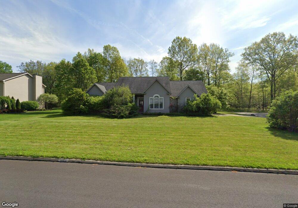
1095 Lois Ln Girard, OH 44420
Churchill NeighborhoodEstimated Value: $262,024 - $293,000
3
Beds
2
Baths
2,064
Sq Ft
$134/Sq Ft
Est. Value
About This Home
This home is located at 1095 Lois Ln, Girard, OH 44420 and is currently estimated at $277,006, approximately $134 per square foot. 1095 Lois Ln is a home located in Trumbull County with nearby schools including E.J. Blott Elementary School, William S. Guy Middle School, and Liberty High School.
Ownership History
Date
Name
Owned For
Owner Type
Purchase Details
Closed on
Feb 19, 2008
Sold by
Lowther Kim E
Bought by
Angelo Dina M
Current Estimated Value
Purchase Details
Closed on
Aug 28, 2006
Sold by
Lowther Ramona G and Lowther Kim E
Bought by
Lowther Ramona G and Lowther Kim E
Purchase Details
Closed on
Mar 24, 1997
Sold by
Yount Andrew T
Bought by
Lowther Ramona G and Lowther Kim E
Home Financials for this Owner
Home Financials are based on the most recent Mortgage that was taken out on this home.
Original Mortgage
$190,000
Interest Rate
7.82%
Mortgage Type
New Conventional
Purchase Details
Closed on
Jan 1, 1990
Bought by
Andrew T Yount
Create a Home Valuation Report for This Property
The Home Valuation Report is an in-depth analysis detailing your home's value as well as a comparison with similar homes in the area
Home Values in the Area
Average Home Value in this Area
Purchase History
| Date | Buyer | Sale Price | Title Company |
|---|---|---|---|
| Angelo Dina M | $166,500 | Attorney | |
| Lowther Ramona G | -- | None Available | |
| Lowther Ramona G | $23,000 | -- | |
| Andrew T Yount | -- | -- |
Source: Public Records
Mortgage History
| Date | Status | Borrower | Loan Amount |
|---|---|---|---|
| Previous Owner | Lowther Ramona G | $190,000 |
Source: Public Records
Tax History Compared to Growth
Tax History
| Year | Tax Paid | Tax Assessment Tax Assessment Total Assessment is a certain percentage of the fair market value that is determined by local assessors to be the total taxable value of land and additions on the property. | Land | Improvement |
|---|---|---|---|---|
| 2024 | $3,944 | $76,060 | $9,380 | $66,680 |
| 2023 | $3,944 | $76,060 | $9,380 | $66,680 |
| 2022 | $3,666 | $56,740 | $7,810 | $48,930 |
| 2021 | $3,672 | $56,740 | $7,810 | $48,930 |
| 2020 | $3,680 | $56,740 | $7,810 | $48,930 |
| 2019 | $3,968 | $53,980 | $7,810 | $46,170 |
| 2018 | $3,944 | $53,980 | $7,810 | $46,170 |
| 2017 | $3,837 | $53,980 | $7,810 | $46,170 |
| 2016 | $3,584 | $49,670 | $7,810 | $41,860 |
| 2015 | $3,594 | $49,670 | $7,810 | $41,860 |
| 2014 | $3,574 | $49,670 | $7,810 | $41,860 |
| 2013 | $3,663 | $52,330 | $7,810 | $44,520 |
Source: Public Records
Map
Nearby Homes
- 1405 Red Oak Dr
- 995 Keefer Rd
- 1135 Keefer Rd
- 822 Golf Ave
- 914 Pinecrest Rd
- 837 Pinecrest Rd
- 924 Churchill Rd
- 943 Dravis St
- 200 Terra Bella Dr Unit 1
- 991 Shannon Rd
- 0 Naylor Lloyd Rd Unit 5066608
- 639 Aurora Dr
- 5612 Belmont Ave
- 4900 5th Ave
- 4899 5th Ave
- 5320 Sampson Dr
- 451 Powers Ave
- 445 Powers Ave
- 4785 Logan Arms Dr
- 566 E Kline St