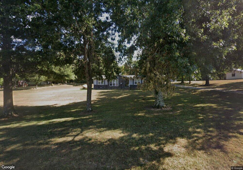
1095 State Route 120 Marion, KY 42064
Estimated Value: $83,000 - $164,000
3
Beds
2
Baths
1,176
Sq Ft
$109/Sq Ft
Est. Value
About This Home
This home is located at 1095 State Route 120, Marion, KY 42064 and is currently estimated at $128,398, approximately $109 per square foot. 1095 State Route 120 is a home located in Crittenden County with nearby schools including Crittenden County Elementary School, Crittenden County Middle School, and Pathway Academy High School.
Ownership History
Date
Name
Owned For
Owner Type
Purchase Details
Closed on
Aug 9, 2021
Sold by
Sallee and James
Bought by
Gunlogson Christoper
Current Estimated Value
Purchase Details
Closed on
Aug 5, 2021
Sold by
Dempsey and James
Bought by
Sutton Nicholas J and Eubanks Mallory R
Purchase Details
Closed on
Jun 28, 2007
Sold by
Dempsey James Albert and Dempsey Gertrude Florence
Bought by
Dempsey James Allen and Dempsey Belinda
Create a Home Valuation Report for This Property
The Home Valuation Report is an in-depth analysis detailing your home's value as well as a comparison with similar homes in the area
Home Values in the Area
Average Home Value in this Area
Purchase History
| Date | Buyer | Sale Price | Title Company |
|---|---|---|---|
| Gunlogson Christoper | $10,000 | None Listed On Document | |
| Sutton Nicholas J | $50,000 | None Listed On Document | |
| Dempsey James Allen | -- | None Available |
Source: Public Records
Tax History Compared to Growth
Tax History
| Year | Tax Paid | Tax Assessment Tax Assessment Total Assessment is a certain percentage of the fair market value that is determined by local assessors to be the total taxable value of land and additions on the property. | Land | Improvement |
|---|---|---|---|---|
| 2024 | $149 | $56,000 | $5,000 | $51,000 |
| 2023 | $150 | $52,500 | $5,000 | $47,500 |
| 2022 | $197 | $52,500 | $5,000 | $47,500 |
| 2021 | $197 | $52,500 | $5,000 | $47,500 |
| 2020 | $171 | $52,500 | $5,000 | $47,500 |
| 2019 | $171 | $56,000 | $0 | $0 |
| 2018 | $156 | $14,900 | $0 | $0 |
| 2017 | $155 | $0 | $0 | $0 |
| 2016 | $157 | $15,600 | $0 | $0 |
| 2015 | -- | $52,500 | $0 | $0 |
| 2014 | -- | $47,500 | $0 | $0 |
| 2013 | -- | $47,500 | $0 | $0 |
Source: Public Records
Map
Nearby Homes
- 251 Guess Dr
- 251 Guess Dr Unit (Crittenden Co. KY 0
- 127 Hawk Ln Unit 2
- 123 Hawk Ln Unit 121 Hawk Lane
- 920 State Route 506
- 700 E Depot St
- 511 E Bellville St
- 301 Adam St Unit (Crittenden Co. KY 2
- 300 Spar Mill Rd Unit (Crittenden Co. KY 8
- 414 Moore St
- 308 W Bellville St
- 60 Nichols Ave
- 316 W Carlisle St
- 220 Shady Ln
- 0 Fords Ferry Rd Unit (Parcel 2 - 17 AC)
- 2003 Sr 506
- 255 Wilson Farm Rd
- 125 S Yandell St
- 408 W Bellville St
- 121 E Cruse Ln
- 1075 State Route 120
- 1115 State Route 120
- 1055 State Route 120
- 1076 State Route 120
- 1102 State Route 120
- 1000 State Route 120
- 1000 Kentucky 120
- 1132 State Route 120
- 985 Kentucky 120
- 120 Sr
- 984 State Route 120
- 200 Country Dr
- 950 State Route 120
- 1152 State Route 120
- 631 Old Shady Grove Rd
- 1218 State Route 120
- 210 Country Dr
- 1294 State Route 120
- 621 Old Shady Grove Rd
- 218 Country Dr