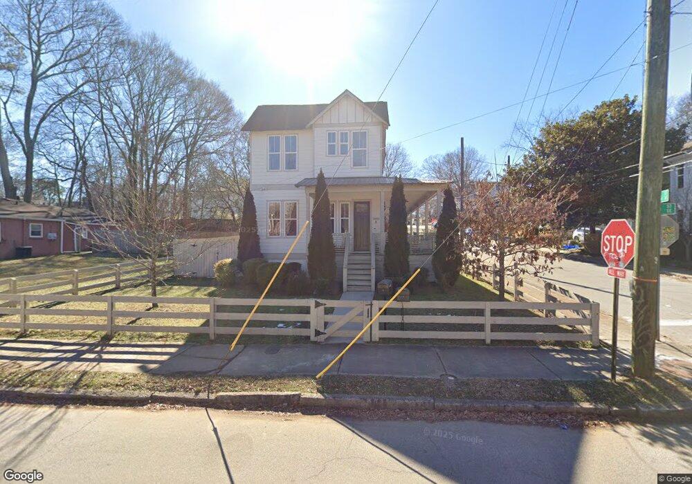
1095 Wylie St SE Atlanta, GA 30316
Reynoldstown NeighborhoodEstimated Value: $446,000 - $571,000
2
Beds
2
Baths
1,127
Sq Ft
$460/Sq Ft
Est. Value
About This Home
This home is located at 1095 Wylie St SE, Atlanta, GA 30316 and is currently estimated at $518,711, approximately $460 per square foot. 1095 Wylie St SE is a home located in Fulton County with nearby schools including Burgess-Peterson Elementary School, King Middle School, and Maynard Holbrook Jackson High School.
Ownership History
Date
Name
Owned For
Owner Type
Purchase Details
Closed on
Feb 2, 2004
Sold by
Community Bible Chapel
Bought by
Dotson Gregory J
Current Estimated Value
Purchase Details
Closed on
Mar 23, 1999
Sold by
Cassels Robert Q
Bought by
Dotson Gregory J
Home Financials for this Owner
Home Financials are based on the most recent Mortgage that was taken out on this home.
Original Mortgage
$24,250
Interest Rate
6.82%
Mortgage Type
New Conventional
Create a Home Valuation Report for This Property
The Home Valuation Report is an in-depth analysis detailing your home's value as well as a comparison with similar homes in the area
Home Values in the Area
Average Home Value in this Area
Purchase History
| Date | Buyer | Sale Price | Title Company |
|---|---|---|---|
| Dotson Gregory J | $45,000 | -- | |
| Dotson Gregory J | $25,000 | -- |
Source: Public Records
Mortgage History
| Date | Status | Borrower | Loan Amount |
|---|---|---|---|
| Previous Owner | Dotson Gregory J | $24,250 |
Source: Public Records
Tax History Compared to Growth
Tax History
| Year | Tax Paid | Tax Assessment Tax Assessment Total Assessment is a certain percentage of the fair market value that is determined by local assessors to be the total taxable value of land and additions on the property. | Land | Improvement |
|---|---|---|---|---|
| 2025 | $2,366 | $146,760 | $101,880 | $44,880 |
| 2023 | $6,064 | $146,480 | $101,880 | $44,600 |
| 2022 | $2,877 | $131,360 | $88,320 | $43,040 |
| 2021 | $880 | $121,360 | $91,560 | $29,800 |
| 2020 | $872 | $77,680 | $55,160 | $22,520 |
| 2019 | $922 | $77,680 | $55,160 | $22,520 |
| 2018 | $284 | $77,680 | $55,160 | $22,520 |
| 2017 | $277 | $35,320 | $20,640 | $14,680 |
| 2016 | $274 | $35,320 | $20,640 | $14,680 |
| 2015 | $1,132 | $35,320 | $20,640 | $14,680 |
| 2014 | $274 | $35,320 | $20,640 | $14,680 |
Source: Public Records
Map
Nearby Homes
- 81 Walthall St SE Unit B
- 81 Walthall St SE
- 88 Cleveland St SE Unit B
- 90 Cleveland St SE Unit B
- 85 Moreland Ave SE
- 100 Moreland Ave SE Unit J
- 63 Mortimer St SE
- 159 Walthall St SE Unit A
- 1153 Reynolds Square Ln Unit 16
- 97 Mortimer St SE
- 160 Cleveland St SE Unit A
- 47 Moreland Ave NE
- 183 Cleveland St SE Unit B
- 1148 Hardee St NE
- 169 Moreland Ave SE
- 82 Moreland Ave N Unit FRONT & BACK
- 14 Becker Place NW
- 127 Stein Steel St SE Unit 112
- 924 Hughley Cir SE Unit 12
- 924 Hughley Cir SE Unit 11
- 1085 Wylie St SE Unit B
- 1085 Wylie St SE Unit ID1049120P
- 1085 Wylie St SE
- 1085 Wylie St SE
- 1085 Wylie St SE Unit A
- 66 Walthall St SE
- 1099 Wylie St SE
- 1077 Wylie St SE
- 72 Walthall St SE
- 72 Walthall St SE
- 72 Walthall St SE Unit B
- 1073 Wylie St SE
- 61 Walthall St SE
- 0 Walthall St SE Unit 7025192
- 0 Walthall St SE Unit 8817063
- 0 Walthall St SE Unit 3219914
- 0 Walthall St SE Unit 3220405
- 0 Walthall St SE Unit 7119601
- 0 Walthall St SE Unit 7193392
- 0 Walthall St SE Unit 7411133