10951 S Brigance Rd Gentry, AR 72734
Estimated Value: $293,000 - $551,000
--
Bed
2
Baths
1,525
Sq Ft
$276/Sq Ft
Est. Value
About This Home
This home is located at 10951 S Brigance Rd, Gentry, AR 72734 and is currently estimated at $420,151, approximately $275 per square foot. 10951 S Brigance Rd is a home located in Benton County with nearby schools including Gentry Intermediate School, Gentry Primary School, and Gentry Middle School.
Ownership History
Date
Name
Owned For
Owner Type
Purchase Details
Closed on
Dec 31, 2013
Sold by
Smith Glenn T and Smith Rhonda F
Bought by
Cox Cheryl M
Current Estimated Value
Home Financials for this Owner
Home Financials are based on the most recent Mortgage that was taken out on this home.
Original Mortgage
$273,000
Outstanding Balance
$206,810
Interest Rate
4.48%
Mortgage Type
VA
Estimated Equity
$213,341
Purchase Details
Closed on
Jun 12, 2013
Sold by
Smith Glenn T and Smith Rhonda F
Bought by
Smith Glenn T and Smith Rhonda F
Purchase Details
Closed on
Jan 10, 1978
Bought by
Smith
Create a Home Valuation Report for This Property
The Home Valuation Report is an in-depth analysis detailing your home's value as well as a comparison with similar homes in the area
Home Values in the Area
Average Home Value in this Area
Purchase History
| Date | Buyer | Sale Price | Title Company |
|---|---|---|---|
| Cox Cheryl M | $273,000 | Etc | |
| Smith Glenn T | -- | None Available | |
| Smith | $12,000 | -- |
Source: Public Records
Mortgage History
| Date | Status | Borrower | Loan Amount |
|---|---|---|---|
| Open | Cox Cheryl M | $273,000 |
Source: Public Records
Tax History Compared to Growth
Tax History
| Year | Tax Paid | Tax Assessment Tax Assessment Total Assessment is a certain percentage of the fair market value that is determined by local assessors to be the total taxable value of land and additions on the property. | Land | Improvement |
|---|---|---|---|---|
| 2024 | $2,048 | $40,952 | $9,242 | $31,710 |
| 2023 | $2,246 | $44,919 | $3,190 | $41,729 |
| 2022 | $1,352 | $29,050 | $3,190 | $25,860 |
| 2021 | $1,316 | $29,050 | $3,190 | $25,860 |
| 2020 | $1,197 | $22,540 | $2,400 | $20,140 |
| 2019 | $1,198 | $22,560 | $2,420 | $20,140 |
| 2018 | $1,198 | $22,560 | $2,420 | $20,140 |
| 2017 | $0 | $22,560 | $2,420 | $20,140 |
| 2016 | $0 | $22,560 | $2,420 | $20,140 |
| 2015 | $1,156 | $23,110 | $1,740 | $21,370 |
| 2014 | $809 | $22,910 | $2,310 | $20,600 |
Source: Public Records
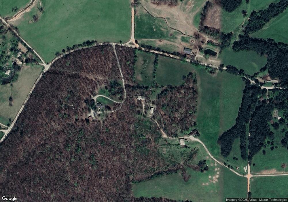
Map
Nearby Homes
- 17225 Featherstone Trail
- 11052 Bredehoeft Rd
- 9300 S Pleasant Valley Rd
- 9236 S Pleasant Valley Rd
- 9112 S Pleasant Valley Rd
- 9124 S Pleasant Valley Rd
- 15670 Malone Rd
- 16000 Peterson Rd
- 2550 NW Peterson Rd
- 5500 Tannerwood Cove
- Lots 1, 8 & 11 Snyder Estates Rurban Phase 3
- 5301 Snyder Cove
- 5201 Snyder Cove
- 5101 Snyder Cove
- 5200 Snyder Cove
- 5400 Snyder Cove
- 5300 Snyder Cove
- Lot 2 Tbd Peterson Rd
- Lot 1 Tbd Peterson Rd
- Lot 24 Tbd Peterson Rd
- 16811 Aubrey Long Rd
- 10947 S Brigance Rd
- 0 Aubrey Long Rd Unit 1254965
- 0 Aubrey Long Rd Unit 684663
- 0 Aubrey Long Rd Unit 700118
- 0 Aubrey Long Rd Unit 712762
- 0 Aubrey Long Rd Unit 1191506
- 0 Aubrey Long Rd Unit 1832646
- 0 Aubrey Long Rd Unit 676978
- 0 Aubrey Long Rd Unit 727474
- 0 Aubrey Long Rd Unit 741589
- 0 Aubrey Long Rd Unit 1205029
- 16579 Aubrey Long Rd
- 16948 Aubrey Long Rd
- 16566 Aubrey Long Rd
- 11051 S Brigance Rd
- 0 S Brigance Rd
- 17117 Aubrey Long Rd
- 17008 Aubrey Long Rd
- 16485 Aubrey Long Rd