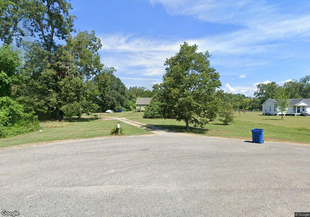
10956 L J Ln Port Allen, LA 70767
West Baton Rouge Parish NeighborhoodEstimated Value: $219,756 - $347,000
--
Bed
--
Bath
1,795
Sq Ft
$142/Sq Ft
Est. Value
About This Home
This home is located at 10956 L J Ln, Port Allen, LA 70767 and is currently estimated at $255,189, approximately $142 per square foot. 10956 L J Ln is a home located in West Baton Rouge Parish with nearby schools including Caneview K-8 School, Chamberlin Elementary School, and Devall Middle School.
Ownership History
Date
Name
Owned For
Owner Type
Purchase Details
Closed on
Nov 27, 2017
Sold by
Gromlovits Katie Meghane
Bought by
Chustz Jean Paul
Current Estimated Value
Home Financials for this Owner
Home Financials are based on the most recent Mortgage that was taken out on this home.
Original Mortgage
$135,000
Outstanding Balance
$75,157
Interest Rate
3.94%
Mortgage Type
New Conventional
Estimated Equity
$180,032
Purchase Details
Closed on
Oct 4, 2007
Sold by
King Frederick B and Thibodeaux King Mary Lou
Bought by
Chustz Jean Paul and Gromlovits Katie Meghane
Create a Home Valuation Report for This Property
The Home Valuation Report is an in-depth analysis detailing your home's value as well as a comparison with similar homes in the area
Home Values in the Area
Average Home Value in this Area
Purchase History
| Date | Buyer | Sale Price | Title Company |
|---|---|---|---|
| Chustz Jean Paul | -- | None Available | |
| Chustz Jean Paul | $69,000 | None Available |
Source: Public Records
Mortgage History
| Date | Status | Borrower | Loan Amount |
|---|---|---|---|
| Open | Chustz Jean Paul | $135,000 |
Source: Public Records
Tax History Compared to Growth
Tax History
| Year | Tax Paid | Tax Assessment Tax Assessment Total Assessment is a certain percentage of the fair market value that is determined by local assessors to be the total taxable value of land and additions on the property. | Land | Improvement |
|---|---|---|---|---|
| 2024 | $939 | $17,190 | $3,240 | $13,950 |
| 2023 | $1,006 | $17,190 | $3,240 | $13,950 |
| 2022 | $1,803 | $17,190 | $3,240 | $13,950 |
| 2021 | $1,844 | $17,190 | $3,240 | $13,950 |
| 2020 | $1,677 | $15,480 | $2,920 | $12,560 |
| 2019 | $1,939 | $17,190 | $3,240 | $13,950 |
| 2018 | $1,975 | $17,190 | $3,240 | $13,950 |
| 2017 | $1,823 | $17,190 | $3,240 | $13,950 |
| 2015 | $1,463 | $17,040 | $3,090 | $13,950 |
| 2014 | $1,440 | $17,040 | $3,090 | $13,950 |
| 2013 | $353 | $4,180 | $3,090 | $1,090 |
Source: Public Records
Map
Nearby Homes
- 5632 Horner Rd
- 5252 Elm Grove Rd
- 6229 Rougon Rd
- 6255 Rougon Rd
- TBD E Subdivision Rd
- TBD E Subdivision Rd
- 11837 E Subdivision Rd
- 9765 Skynet Ln
- 9766 Skynet Ln
- 9527 Burnside Rd
- 1053 Poydras Bayou Rd
- 9324 Burnside Rd
- 10082 Swanson Ln
- 841 Poydras Bayou Rd
- 7000 Bueche Rd
- 8330 Bueche Rd
- 12408 Lorio Dairy Rd
- 3638 Oakland Rd Unit 6
- 5211 Wilcox Dr
- 8856 Singleton Rd