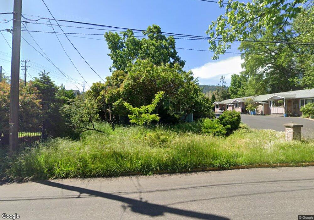
1096 B St Ashland, OR 97520
Millpond NeighborhoodEstimated Value: $354,813 - $431,000
2
Beds
1
Bath
936
Sq Ft
$422/Sq Ft
Est. Value
About This Home
This home is located at 1096 B St, Ashland, OR 97520 and is currently estimated at $394,703, approximately $421 per square foot. 1096 B St is a home located in Jackson County with nearby schools including Walker Elementary School, Ashland Middle School, and Ashland High School.
Ownership History
Date
Name
Owned For
Owner Type
Purchase Details
Closed on
Jan 13, 2016
Sold by
Thompson Brent
Bought by
Burke Bollier Llc
Current Estimated Value
Purchase Details
Closed on
Dec 16, 2015
Sold by
Thompson Brent
Bought by
Burke Bollier Llc
Purchase Details
Closed on
Jun 18, 2002
Sold by
Thompson Brent E
Bought by
Thompson Brent
Home Financials for this Owner
Home Financials are based on the most recent Mortgage that was taken out on this home.
Original Mortgage
$115,000
Interest Rate
6.74%
Create a Home Valuation Report for This Property
The Home Valuation Report is an in-depth analysis detailing your home's value as well as a comparison with similar homes in the area
Home Values in the Area
Average Home Value in this Area
Purchase History
| Date | Buyer | Sale Price | Title Company |
|---|---|---|---|
| Burke Bollier Llc | -- | None Available | |
| Burke Bollier Llc | -- | None Available | |
| Thompson Brent | $97,500 | Jackson County Title |
Source: Public Records
Mortgage History
| Date | Status | Borrower | Loan Amount |
|---|---|---|---|
| Previous Owner | Thompson Brent | $115,000 |
Source: Public Records
Tax History Compared to Growth
Tax History
| Year | Tax Paid | Tax Assessment Tax Assessment Total Assessment is a certain percentage of the fair market value that is determined by local assessors to be the total taxable value of land and additions on the property. | Land | Improvement |
|---|---|---|---|---|
| 2025 | $3,055 | $197,010 | $144,230 | $52,780 |
| 2024 | $3,055 | $191,280 | $140,040 | $51,240 |
| 2023 | $2,955 | $185,710 | $135,960 | $49,750 |
| 2022 | $2,860 | $185,710 | $135,960 | $49,750 |
| 2021 | $2,763 | $180,310 | $132,010 | $48,300 |
| 2020 | $2,686 | $175,060 | $128,170 | $46,890 |
| 2019 | $2,643 | $165,020 | $120,830 | $44,190 |
| 2018 | $2,497 | $160,220 | $117,320 | $42,900 |
| 2017 | $2,479 | $160,220 | $117,320 | $42,900 |
| 2016 | $2,414 | $151,030 | $110,590 | $40,440 |
| 2015 | $2,321 | $151,030 | $110,590 | $40,440 |
| 2014 | $2,246 | $142,370 | $104,250 | $38,120 |
Source: Public Records
Map
Nearby Homes
- 1040 E Main St
- 1259 Hagen Way
- 1123 Village Square Dr
- 124 Morton St
- 753 Siskiyou Blvd
- 1245 Iowa St Unit 7
- 380 Hemlock Ln
- 586 B St
- 811 Iowa St
- 411 N Mountain Ave
- 496 Starflower Ln
- 545 A St
- 574 E Main St
- 453 Williamson Way
- 770 Iowa St
- 2082 E Main St
- 478 Siskiyou Blvd
- 94 N 3rd St
- 300 Harrison St
- 533 N Mountain Ave
- 1098 B St
- 1094 B St
- 81 N Mountain Ave
- 98 Emerick St
- 92 Emerick St
- 77 N Mountain Ave
- 88 Emerick St
- 78 N Mountain Ave
- 82 Emerick St
- 59 N Mountain Ave
- 68 N Mountain Ave
- 70 N Mountain Ave Unit 70
- 57 N Mountain Ave
- 45 N Mountain Ave
- 47 N Mountain Ave
- 72 N Mountain Ave Unit 72
- 50 Emerick St
- 31 N Mountain Ave
- 74 N Mountain Ave
- 85 Emerick St