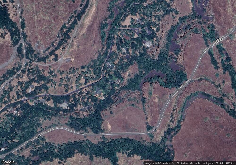
1096 Canyon Way the Dalles, OR 97058
Estimated Value: $532,000 - $1,086,000
3
Beds
3
Baths
2,824
Sq Ft
$267/Sq Ft
Est. Value
About This Home
This home is located at 1096 Canyon Way, the Dalles, OR 97058 and is currently estimated at $755,149, approximately $267 per square foot. 1096 Canyon Way is a home located in Wasco County with nearby schools including The Dalles High School.
Ownership History
Date
Name
Owned For
Owner Type
Purchase Details
Closed on
Jul 20, 2016
Sold by
Stone Robert L and Stone Catherine A
Bought by
Howell Christopher J and Donnelly Daylon T
Current Estimated Value
Home Financials for this Owner
Home Financials are based on the most recent Mortgage that was taken out on this home.
Original Mortgage
$413,250
Outstanding Balance
$329,685
Interest Rate
3.56%
Mortgage Type
New Conventional
Estimated Equity
$425,464
Purchase Details
Closed on
Jan 2, 2014
Sold by
Federal Home Loan Mortgage Corporation
Bought by
Stone Robert L and Stone Catherine A
Create a Home Valuation Report for This Property
The Home Valuation Report is an in-depth analysis detailing your home's value as well as a comparison with similar homes in the area
Home Values in the Area
Average Home Value in this Area
Purchase History
| Date | Buyer | Sale Price | Title Company |
|---|---|---|---|
| Howell Christopher J | $435,000 | Amerititle | |
| Stone Robert L | $230,000 | Servicelink |
Source: Public Records
Mortgage History
| Date | Status | Borrower | Loan Amount |
|---|---|---|---|
| Open | Howell Christopher J | $413,250 |
Source: Public Records
Tax History Compared to Growth
Tax History
| Year | Tax Paid | Tax Assessment Tax Assessment Total Assessment is a certain percentage of the fair market value that is determined by local assessors to be the total taxable value of land and additions on the property. | Land | Improvement |
|---|---|---|---|---|
| 2024 | $5,207 | $364,279 | -- | -- |
| 2023 | $5,061 | $353,669 | $0 | $0 |
| 2022 | $4,950 | $153,575 | $0 | $0 |
| 2021 | $4,768 | $149,092 | $0 | $0 |
| 2020 | $4,655 | $144,759 | $0 | $0 |
| 2019 | $4,528 | $126,683 | $0 | $0 |
| 2018 | $4,396 | $305,078 | $0 | $0 |
| 2017 | $4,026 | $296,192 | $0 | $0 |
| 2016 | $4,007 | $287,565 | $0 | $0 |
| 2015 | $3,928 | $279,189 | $0 | $0 |
| 2014 | $3,850 | $271,057 | $0 | $0 |
Source: Public Records
Map
Nearby Homes
- 0 Hwy 30w Unit 524154857
- 2257 Dundas Way
- 114 Klickitat St
- 718 Klickitat St
- 900 Washington St
- 0 Balfour St
- 0 Columbia Dr Unit 348522319
- 0 Canyon Rd
- 0 Richard Rd Unit P1-L5 425717058
- 1075 Morgensen Rd
- 19 Sauter Dr
- 0 Centerville Hwy Unit 3 304992495
- 6538 Halliburton Rd
- 10 Canyon Rd
- 5700 Highway 30w
- 0 Dry Creek Rd Unit 447504745
- 7000 Seven Mile Hill Rd
- 0 7 Mile Hill Rd Unit 24275347
- 6520 Seven Mile Hill Rd
- 1805 Carroll Rd
- 1080 Canyon Way
- 1100 Canyon Way
- 1095 Canyon Way
- 1072 Canyon Way
- 1114 Canyon Way
- 6850 Oakbrook Ln
- 6845 Oakbrook Ln
- 1120 Canyon Way
- 6845 Oakbrook Ln
- 6840 Oakbrook Ln
- 6835 Oakbrook Ln
- 1134 Canyon Way
- 1135 Canyon Way
- 1142 Canyon Way
- 1022 Canyon Way
- 6805 Highway 30w
- 6805 Hwy 30w
- 6900 Highway 30w
- 6804 Highway 30w
- 6822 Highway 30w
