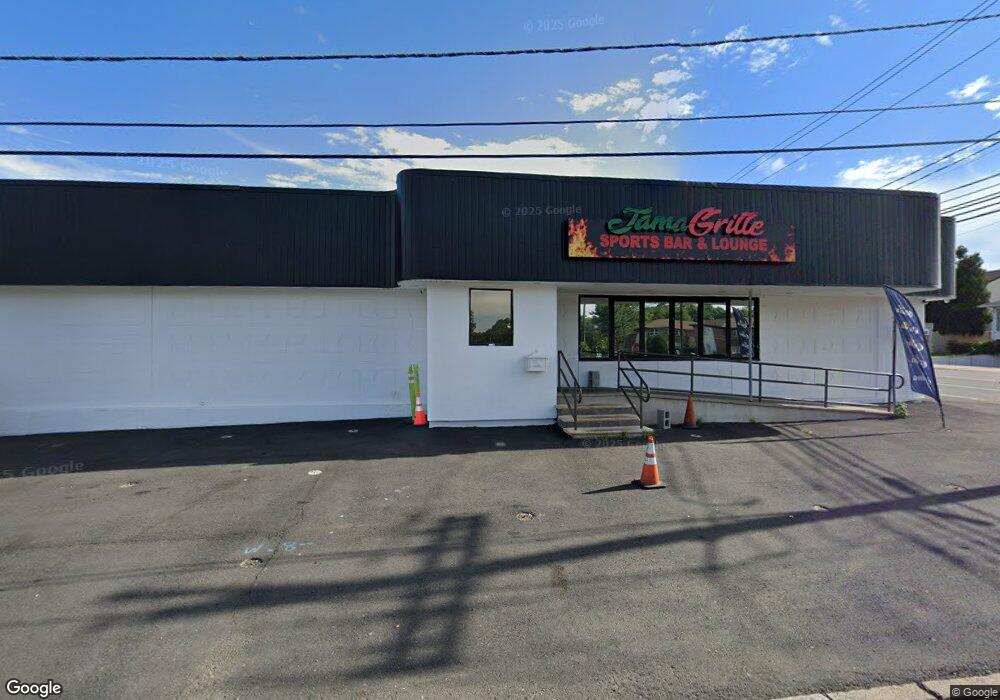
1096 Convery Blvd Perth Amboy, NJ 08861
Maurer NeighborhoodEstimated Value: $1,378,708
--
Bed
--
Bath
2,500
Sq Ft
$551/Sq Ft
Est. Value
About This Home
This home is located at 1096 Convery Blvd, Perth Amboy, NJ 08861 and is currently estimated at $1,378,708, approximately $551 per square foot. 1096 Convery Blvd is a home located in Middlesex County with nearby schools including Perth Amboy High School, Academy for Urban Leadership Charter School, and St James School-Woodbridge.
Ownership History
Date
Name
Owned For
Owner Type
Purchase Details
Closed on
Oct 10, 2018
Sold by
First Platinum Capital Corp
Bought by
1096 Convery Blvd Llc
Current Estimated Value
Home Financials for this Owner
Home Financials are based on the most recent Mortgage that was taken out on this home.
Original Mortgage
$650,000
Outstanding Balance
$233,048
Interest Rate
4.6%
Mortgage Type
Commercial
Estimated Equity
$1,145,660
Purchase Details
Closed on
Aug 21, 2007
Sold by
Cibelli Albert
Bought by
Cibelli Holdings Llc
Create a Home Valuation Report for This Property
The Home Valuation Report is an in-depth analysis detailing your home's value as well as a comparison with similar homes in the area
Home Values in the Area
Average Home Value in this Area
Purchase History
| Date | Buyer | Sale Price | Title Company |
|---|---|---|---|
| 1096 Convery Blvd Llc | $750,000 | Acres Land Title Agency Inc | |
| Cibelli Holdings Llc | -- | -- |
Source: Public Records
Mortgage History
| Date | Status | Borrower | Loan Amount |
|---|---|---|---|
| Open | 1096 Convery Blvd Llc | $650,000 |
Source: Public Records
Tax History Compared to Growth
Tax History
| Year | Tax Paid | Tax Assessment Tax Assessment Total Assessment is a certain percentage of the fair market value that is determined by local assessors to be the total taxable value of land and additions on the property. | Land | Improvement |
|---|---|---|---|---|
| 2025 | $15,332 | $508,200 | $138,100 | $370,100 |
| 2024 | $15,302 | $508,200 | $138,100 | $370,100 |
| 2023 | $15,302 | $508,200 | $138,100 | $370,100 |
| 2022 | $15,119 | $508,200 | $138,100 | $370,100 |
| 2021 | $15,124 | $508,200 | $138,100 | $370,100 |
| 2020 | $15,134 | $508,200 | $138,100 | $370,100 |
| 2019 | $15,190 | $508,200 | $138,100 | $370,100 |
| 2018 | $15,058 | $508,200 | $138,100 | $370,100 |
| 2017 | $15,027 | $508,200 | $138,100 | $370,100 |
| 2016 | $14,636 | $508,200 | $138,100 | $370,100 |
| 2015 | $14,738 | $508,200 | $138,100 | $370,100 |
| 2014 | $14,829 | $508,200 | $138,100 | $370,100 |
Source: Public Records
Map
Nearby Homes
- 1034 Rudyard Dr
- 1015 Rudyard Dr
- 646 Franklin Dr
- 670 Franklin Dr
- 65 Russell St
- 641 Cricket Ln
- 645 Cricket Ln
- 1307 Cricket Ln
- 547 S Park Dr
- 795 May Ave
- 865 Barry Ave
- 435 Ashley St
- 410 Wagner Ave
- 152 Bunns Ln
- 191 Sherry St
- 47 Harned Ave
- 773 Colgate Ave
- 537 Harding Ave
- 325 Regency Place Unit 325
- 670 Columbus Cir
- 607 Koczusko St
- 1096 Andrews Dr
- 1092 Andrews Dr
- 1108 Andrews Dr
- 1108 Andrews Dr
- 1084 Andrews Dr
- 1080 Andrews Dr
- 1101 Andrews Dr
- 1100 Rudyard Dr
- 1076 Andrews Dr
- 1093 Andrews Dr
- 1085 Andrews Dr
- 1125 Convery Blvd
- 1096 Rudyard Dr
- 1072 Andrews Dr
- 1077 Andrews Dr
- 642 Adams Ave
- 1092 Rudyard Dr
- 1068 Andrews Dr
- 635 Adams Ave