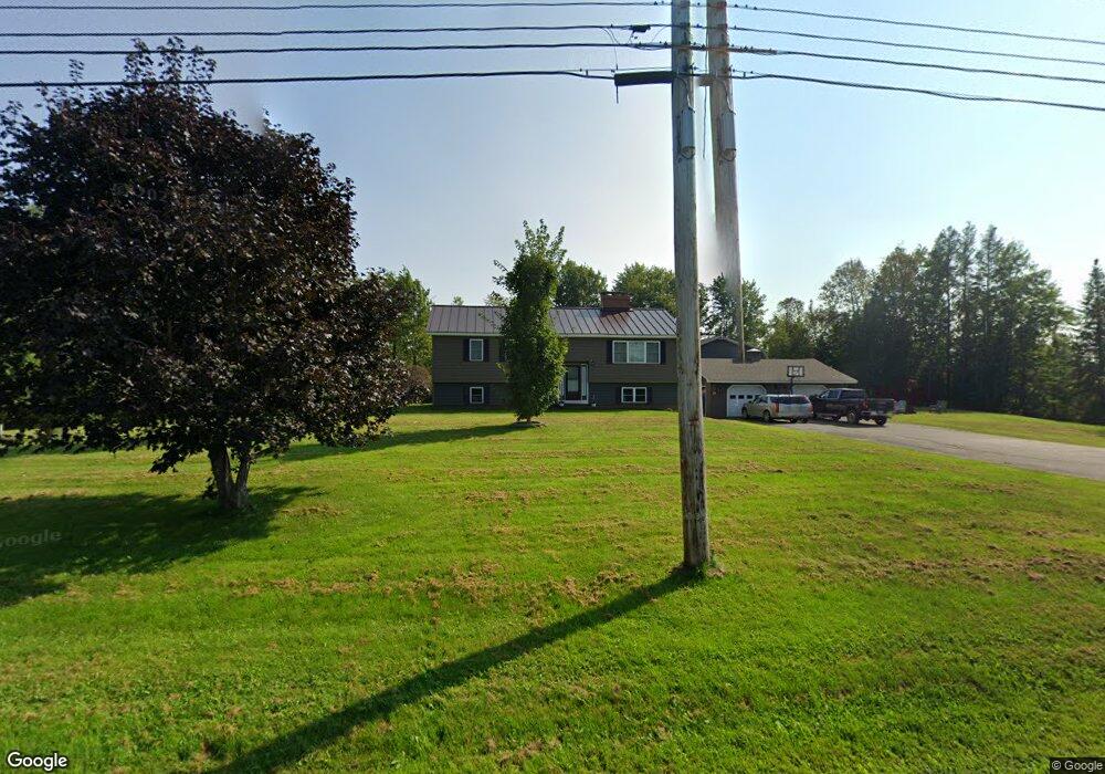
1096 County Rd New Limerick, ME 04761
Estimated Value: $231,000 - $415,000
4
Beds
2
Baths
1,900
Sq Ft
$155/Sq Ft
Est. Value
About This Home
This home is located at 1096 County Rd, New Limerick, ME 04761 and is currently estimated at $295,045, approximately $155 per square foot. 1096 County Rd is a home located in Aroostook County with nearby schools including Mill Pond School and Hodgdon Middle/High School.
Ownership History
Date
Name
Owned For
Owner Type
Purchase Details
Closed on
Aug 29, 2017
Sold by
Fitzpatrick Joseph H and Fitzpatrick Linda L
Bought by
Fitzpatrick Jason A and Fitzpatrick Elizabeth A
Current Estimated Value
Home Financials for this Owner
Home Financials are based on the most recent Mortgage that was taken out on this home.
Original Mortgage
$94,745
Outstanding Balance
$65,638
Interest Rate
4.03%
Mortgage Type
Commercial
Estimated Equity
$229,407
Purchase Details
Closed on
Oct 24, 2012
Sold by
Salo Henry Est
Bought by
Blanchette Joshua
Purchase Details
Closed on
Jul 12, 2012
Sold by
Salo Henry Est
Bought by
Fitzpatrick Joseph H and Fitzpatrick Linda L
Home Financials for this Owner
Home Financials are based on the most recent Mortgage that was taken out on this home.
Original Mortgage
$93,000
Interest Rate
3.76%
Mortgage Type
Commercial
Create a Home Valuation Report for This Property
The Home Valuation Report is an in-depth analysis detailing your home's value as well as a comparison with similar homes in the area
Purchase History
| Date | Buyer | Sale Price | Title Company |
|---|---|---|---|
| Fitzpatrick Jason A | -- | -- | |
| Blanchette Joshua | -- | -- | |
| Fitzpatrick Joseph H | -- | -- |
Source: Public Records
Mortgage History
| Date | Status | Borrower | Loan Amount |
|---|---|---|---|
| Open | Fitzpatrick Jason A | $94,745 | |
| Previous Owner | Fitzpatrick Joseph H | $93,000 |
Source: Public Records
Tax History
| Year | Tax Paid | Tax Assessment Tax Assessment Total Assessment is a certain percentage of the fair market value that is determined by local assessors to be the total taxable value of land and additions on the property. | Land | Improvement |
|---|---|---|---|---|
| 2022 | $1,184 | $157,800 | $18,800 | $139,000 |
| 2021 | $1,315 | $131,500 | $15,700 | $115,800 |
| 2020 | $1,315 | $131,500 | $15,700 | $115,800 |
| 2019 | $1,160 | $116,000 | $15,700 | $100,300 |
| 2018 | $1,044 | $116,000 | $15,700 | $100,300 |
| 2017 | $1,073 | $116,000 | $15,700 | $100,300 |
| 2016 | $986 | $116,000 | $15,700 | $100,300 |
| 2014 | $928 | $116,030 | $15,730 | $100,300 |
| 2013 | $870 | $116,000 | $15,700 | $100,300 |
Source: Public Records
Map
Nearby Homes
- 1020 County Rd
- Off U S Highway 2
- Lot U County Rd
- 713 Drews Lake Rd
- 1961 Ludlow Rd
- 0 County Rd Unit U 24034245
- 101 S South Shore Rd
- 105 S Shore Rd
- Lot 23 Smyrna St
- Lot-5-1 Burton Rd
- 2048 County Rd
- Lot 12 Winter Rd
- 1991 Ludlow Rd
- Lot 31C B Rd
- M8 P/O 1 Drews Mill Rd
- 2 Hogan St
- 33 Columbia St
- 19 Smyrna St
- 3 Sunnyside St
- 12 Bowdoin St
Your Personal Tour Guide
Ask me questions while you tour the home.